Warmsworth in the Domesday Book (1086)
The settlement of Warmsworth is recorded in William I’s Domesday survey of 1086, entered under the hundred of Strafforth in Yorkshire.
Other Settlements in Strafforth
- Adwick [le Street]
- Adwick [upon Dearne]
- Armthorpe
- Aston
- Attercliffe
- Auckley
- Aughton [Hall]
- Austerfield
- Balby
- Barnbrough
- Barnby [Dun]
- Bentley
- Bilham [House]
- Billingley
The Meaning of the Name
The name Warmsworth is of Anglo-Saxon origin. Its final element derives from the Old English word worð, an enclosure or homestead. The first element is most likely a personal name or an early descriptive term, now difficult to recover with certainty. Taken together the name probably meant something close to ‘a enclosure’.
Remarkably, the name has changed little since 1086, when the Domesday scribes wrote it as Warmsworth.
Listed Buildings Near Warmsworth
Historic England records 9 listed buildings within about a mile of Warmsworth. Listing protects structures of special architectural or historic interest, graded I (exceptional), II* (particularly important) and II.
Grade II*
- Warmsworth Hall - 0.18 km
Grade II
- Western Gate Piers to Warmsworth Hall - 0.11 km
- Barn at North West Corner of Farmyard Yard to West Farm - 0.12 km
- Warmsworth House including No 1 (The Annexe), Quaker Lane - 0.13 km
- Over 60’S Club - 0.16 km
- Eastern Gate Piers to Warmsworth Hall - 0.2 km
- Bell Tower at Junction With Glebe Street - 0.22 km
- Church of St Peter - 0.73 km
- Bridge Across River Don - 1.24 km
Warmsworth Today
Today Warmsworth lies within the administrative area of Doncaster, and the settlement recorded a population of 3,719 at the 2021 census. Nine and a half centuries separate that figure from the small rural community the Domesday survey recorded here in 1086.
Read more about modern Warmsworth on Wikipedia .
Nearby Domesday Settlements
Other places recorded in the 1086 survey within a few miles:
- Balby - 2.2 km NE
- Sprotbrough - 2.2 km NW
- Hexthorpe - 2.8 km NE
- Cadeby - 3.0 km W
- Scinestorp - 3.0 km N
- Wildthorpe - 3.2 km W
Heritage Around Warmsworth
Photographs of churches, listed buildings and monuments in the vicinity, contributed by volunteers to the Geograph project and reused here under a Creative Commons licence.
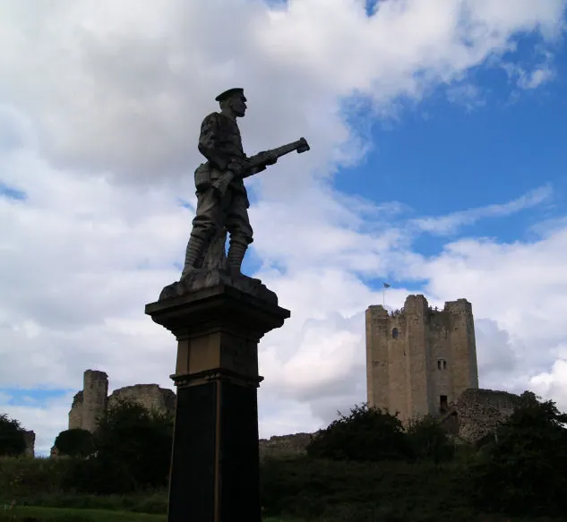
© Steve Fareham · Geograph · CC BY-SA 2.0
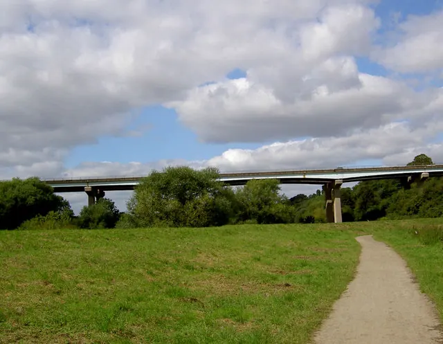
© Steve Fareham · Geograph · CC BY-SA 2.0
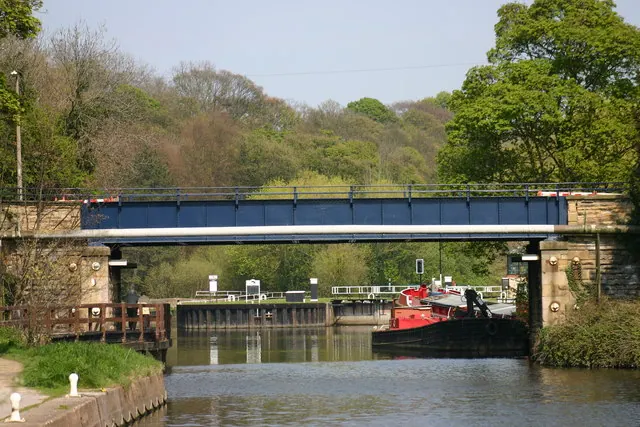
© Jeff Pearson · Geograph · CC BY-SA 2.0
Images © their respective photographers, licensed under CC BY-SA 2.0 and reused here with attribution. Photographs depict listed buildings, churches and monuments near this settlement and may show neighbouring villages.
Data derived from the Open Domesday project (opendomesday.org), based on the Domesday Book dataset compiled by Professor J.J.N. Palmer and team. The Domesday Book (1086) is in the public domain.
Found an inaccuracy? [email protected]