Warmfield in the Domesday Book (1086)
Warmfield is named in the Domesday Book, compiled by Norman commissioners in 1086, entered under the hundred of Agbrigg in Yorkshire.
Other Settlements in Agbrigg
- Ackton
- Almondbury
- Austonley
- Bradley
- Cartworth
- Crigglestone
- Crofton
- Dalton
- Emley
- Farnley [Tyas]
- Flockton
- Fulstone
- Golcar
- Hepworth
The Meaning of the Name
The name Warmfield is of Anglo-Saxon origin. Its final element derives from the Old English word feld, open country. The first element is most likely a personal name or an early descriptive term, now difficult to recover with certainty. Taken together the name probably meant something close to ‘a open land’.
Remarkably, the name has changed little since 1086, when the Domesday scribes wrote it as Warmfield.
Listed Buildings Near Warmfield
Historic England records 4 listed buildings within about a mile of Warmfield. Listing protects structures of special architectural or historic interest, graded I (exceptional), II* (particularly important) and II.
Grade II
- Gate Piers and Flanking Wall With Railings to Front of Newhall Lodge - 0.34 km
- Newhall Lodge - 0.35 km
- Cross Hills Farmhouse - 0.44 km
- Hill House Farmhouse - 0.67 km
Scheduled Monuments Near Warmfield
Scheduled monuments are nationally important archaeological sites given legal protection. 1 lies within roughly a mile of Warmfield:
- Newland Preceptory - 1.47 km
Warmfield Today
Today Warmfield lies within the administrative area of Warmfield cum Heath.
Nearby Domesday Settlements
Other places recorded in the 1086 survey within a few miles:
Heritage Around Warmfield
Photographs of churches, listed buildings and monuments in the vicinity, contributed by volunteers to the Geograph project and reused here under a Creative Commons licence.
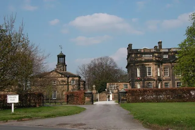
© Martyn Pattison · Geograph · CC BY-SA 2.0
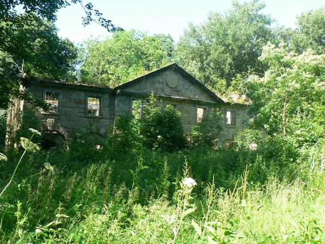
© Rich Tea · Geograph · CC BY-SA 2.0
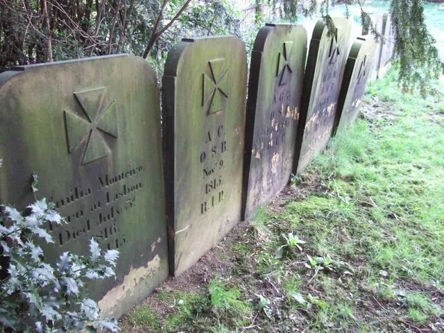
© Ian Russell · Geograph · CC BY-SA 2.0
Images © their respective photographers, licensed under CC BY-SA 2.0 and reused here with attribution. Photographs depict listed buildings, churches and monuments near this settlement and may show neighbouring villages.
Data derived from the Open Domesday project (opendomesday.org), based on the Domesday Book dataset compiled by Professor J.J.N. Palmer and team. The Domesday Book (1086) is in the public domain.
Found an inaccuracy? [email protected]