Warley in the Domesday Book (1086)
Warley is named in the Domesday Book, compiled by Norman commissioners in 1086, entered under the hundred of Morley in Yorkshire. The survey assessed Warley at 13 carucates of taxable land.
At the time of the survey, Warley supported a recorded population of 25 villagers, 11 smallholders, 2 slaves, working 21 ploughs between them.
By 1086 Warley was worth 10.62 shillings, up from 10.5 shillings before the Conquest – in contrast to many Yorkshire neighbours whose valuations collapsed.
The survey lists 2 manors at Warley under different lords. Splitting a single settlement between multiple tenants was common across the North – Saxon estates broken up and handed to William’s followers after 1066.
Resources Recorded at Warley (1086)
- Mills: 1 mill
- Churches: 1
Other Settlements in Morley
- Allerton
- Armley
- Batley
- Beeston
- Bolton
- Bowling
- Bradford
- Bramley
- Calverley
- Carlton
- Chellow [Grange]
- Clayton
- Clifton
- Cruttonstall
The Meaning of the Name
The name Warley is of Anglo-Saxon origin. Its final element derives from the Old English word lēah, a woodland clearing or glade. The first element is most likely a personal name or an early descriptive term, now difficult to recover with certainty. Taken together the name probably meant something close to ‘a clearing’.
Remarkably, the name has changed little since 1086, when the Domesday scribes wrote it as Warley.
Listed Buildings Near Warley
Historic England records 75 listed buildings within about a mile of Warley. Listing protects structures of special architectural or historic interest, graded I (exceptional), II* (particularly important) and II.
Grade II
- Barn Approximately 15 Metres to North West of Nos 1, 2, 3 and 4 Blackwall Farm - 0.25 km
- Blackwall Farmhouse - 0.26 km
- 1, 2, 3 and 4, Hoyle House - 0.28 km
- Cliff Hill - 0.28 km
- Barn Approximately 10 Metres to South West of Numbers 1, 2, 3 and 4 Hoyle House - 0.3 km
- Milestone opposite 33 Burnley Road - 0.31 km
- Warley Grange - 0.35 km
- The Old Congregational Church - 0.36 km
- 22, Burnley Road - 0.37 km
- Boundary Wall and Gatepiers to the Old Congregational Church - 0.37 km
- Barn Approximately 4 Metres to South East of Raw Pickle - 0.53 km
- Sowerby Long Bridge - 0.54 km
- The Hollins - 0.57 km
- Willow Clough and Willow Lodge - 0.67 km
- Barn Approximately 12 Metres to West of Barn Cottage - 0.68 km
- 1/4, 2 and 3, Warley Wood Lane - 0.75 km
- Warley Close - 0.75 km
- Eaglescliff - 0.78 km
- Warley Edge Farmhouse - 0.78 km
- Newlands House and Newlands Farmhouse. - 0.79 km
- Barn Approximately 17 Metres South East of Westfield Farmhouse - 0.85 km
- Beech House - 0.87 km
- High Royd Bridge Rochdale Canal High Royd Bridge - 0.88 km
- Westfield Farmhouse and Westfield House and Attached Doorway - 0.88 km
…and 51 more listed structures in the area.
Warley Today
Today Warley lies within the administrative area of Halifax, and the settlement recorded a population of 12,215 at the 2011 census. Nine and a half centuries separate that figure from the small rural community the Domesday survey recorded here in 1086.
Read more about modern Warley Town on Wikipedia .
Nearby Domesday Settlements
Other places recorded in the 1086 survey within a few miles:
Heritage Around Warley
Photographs of churches, listed buildings and monuments in the vicinity, contributed by volunteers to the Geograph project and reused here under a Creative Commons licence.
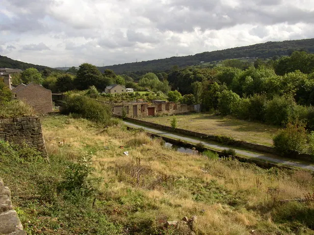
© Humphrey Bolton · Geograph · CC BY-SA 2.0
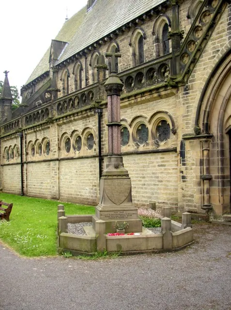
© Humphrey Bolton · Geograph · CC BY-SA 2.0
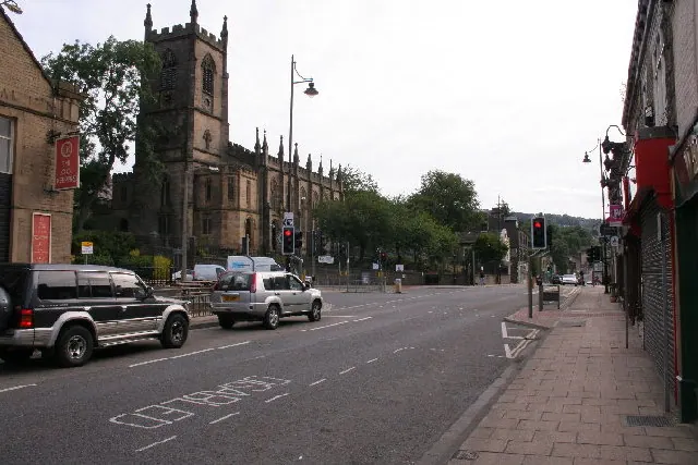
© Mark Anderson · Geograph · CC BY-SA 2.0
Images © their respective photographers, licensed under CC BY-SA 2.0 and reused here with attribution. Photographs depict listed buildings, churches and monuments near this settlement and may show neighbouring villages.
Data derived from the Open Domesday project (opendomesday.org), based on the Domesday Book dataset compiled by Professor J.J.N. Palmer and team. The Domesday Book (1086) is in the public domain.
Found an inaccuracy? [email protected]