Walton in the Domesday Book (1086)
The settlement of Walton is recorded in William I’s Domesday survey of 1086, entered under the hundred of Scarsdale in Derbyshire.
Other Settlements in Scarsdale
- Alfreton
- Ashover
- Barlborough
- Barlow
- Beighton
- Blingsby
- Bolsover
- Boythorpe
- Bramley [Vale]
- Brimington
- Calow
- Chesterfield
- Clowne
- Dore
The Meaning of the Name
The name Walton is of Anglo-Saxon origin. Its final element derives from the Old English word tūn, a farmstead or village. The first element is most likely a personal name or an early descriptive term, now difficult to recover with certainty. Taken together the name probably meant something close to ‘a farmstead’.
Remarkably, the name has changed little since 1086, when the Domesday scribes wrote it as Walton.
Listed Buildings Near Walton
Historic England records 17 listed buildings within about a mile of Walton. Listing protects structures of special architectural or historic interest, graded I (exceptional), II* (particularly important) and II.
Grade II*
- The Gazebo at Somersall Hall - 0.61 km
Grade II
- Park Hall - 0.06 km
- Barn Incorporating Cottage at Park Hall Farm - 0.09 km
- Spring House Farmhouse - 0.53 km
- Farm Outbuilding to the South West of Spring House Farmhouse - 0.55 km
- Hawthorne Farmhouse - 0.57 km
- Somersall Hall - 0.61 km
- The Stables at Somersall Farm - 0.62 km
- Pair of gatepiers near front door of Somersall Hall - 0.62 km
- Cherry Tree Farmhouse - 0.64 km
- Somersall Farmhouse - 0.64 km
- Two barns at Somersall Farm (including one storey extension to western barn) - 0.65 km
- Walton Lodge - 0.8 km
- Walton Hall - 0.97 km
- 2, Somersall Lane - 1.1 km
- 1, Somersall Lane - 1.11 km
- Elm Lodge - 1.3 km
Walton Today
Today Walton lies within the administrative area of Holymoorside and Walton.
Read more about modern Walton on Wikipedia .
Nearby Domesday Settlements
Other places recorded in the 1086 survey within a few miles:
- Boythorpe - 2.0 km E
- Old Brampton - 2.8 km NW
- Holme - 3.2 km N
- Chesterfield - 3.6 km NE
- Greyhirst - 3.6 km SE
- Wingerworth - 3.6 km SE
Heritage Around Walton
Photographs of churches, listed buildings and monuments in the vicinity, contributed by volunteers to the Geograph project and reused here under a Creative Commons licence.
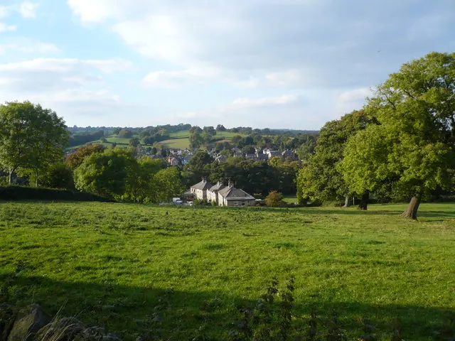
© Alan Heardman · Geograph · CC BY-SA 2.0
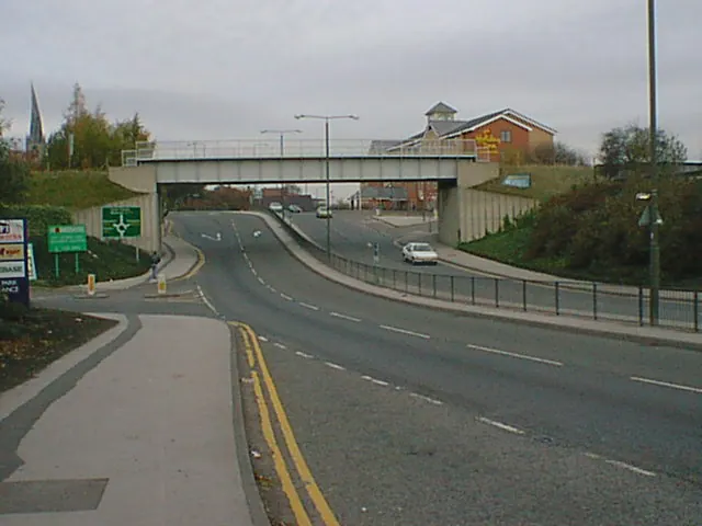
© Alan Heardman · Geograph · CC BY-SA 2.0
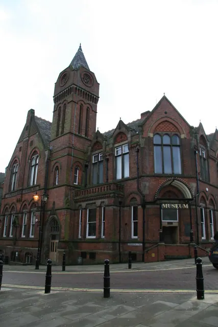
© Chris Allen · Geograph · CC BY-SA 2.0
Images © their respective photographers, licensed under CC BY-SA 2.0 and reused here with attribution. Photographs depict listed buildings, churches and monuments near this settlement and may show neighbouring villages.
Data derived from the Open Domesday project (opendomesday.org), based on the Domesday Book dataset compiled by Professor J.J.N. Palmer and team. The Domesday Book (1086) is in the public domain.
Found an inaccuracy? [email protected]