Walton -on-Trent in the Domesday Book (1086)
The 1086 Domesday survey records the settlement of Walton -on-Trent, entered under the hundred of Walecros in Derbyshire.
Other Settlements in Walecros
- Appleby [Magna]
- Bolun
- Bretby
- Caldwell
- Catton
- Coton [-in-the-Elms]
- Drakelowe
- Foremark
- Hartshorne
- Hearthcote
- Ingleby
- Lullington
- Melbourne
- Milton
The Meaning of the Name
The name Walton -on-Trent is of Anglo-Saxon origin. Its final element derives from the Old English word tūn, a farmstead or village. The first element is most likely a personal name or an early descriptive term, now difficult to recover with certainty. Taken together the name probably meant something close to ‘a farmstead’.
Remarkably, the name has changed little since 1086, when the Domesday scribes wrote it as Walton -on-Trent.
Listed Buildings Near Walton -on-Trent
Historic England records 11 listed buildings within about a mile of Walton -on-Trent. Listing protects structures of special architectural or historic interest, graded I (exceptional), II* (particularly important) and II.
Grade II*
- Church of St Laurence - 0.23 km
- Walton Hall and Attached Stable Range and Garden Wall - 0.59 km
Grade II
- Lychgate to East of St Laurence’s Church - 0.26 km
- Barr Hall and Attached Farm Buildings - 0.33 km
- 35 Main Street - 0.37 km
- 52-54 Main Street - 0.38 km
- Barn Farm Cottage and Attached Barn - 0.49 km
- Outbuilding and Attached Garden Wall to East of Walton Hall - 0.57 km
- Trent and Mersey Canal Bridge Number 37 off Lichfield Road at SK 2057 1877 - 1.03 km
- Trent and Mersey Canal Bridge 36 at Sk 208 194 - 1.2 km
- Trent and Mersey Canal, Canal Milepost at Sk 2033 1848 - 1.24 km
Scheduled Monuments Near Walton -on-Trent
Scheduled monuments are nationally important archaeological sites given legal protection. 2 lie within roughly a mile of Walton -on-Trent:
- Remains of barrow cemetery 350yds (320m) SW of Tucklesholme Farm - 0.81 km
- Slight univallate hillfort 230m south west of Old Hall Cottages - 1.1 km
Walton -on-Trent Today
Today Walton -on-Trent lies within the administrative area of Walton upon Trent, and the settlement recorded a population of 872 at recent figures. Nine and a half centuries separate that figure from the small rural community the Domesday survey recorded here in 1086.
Read more about modern Walton-on-Trent on Wikipedia .
Nearby Domesday Settlements
Other places recorded in the 1086 survey within a few miles:
Heritage Around Walton [-on-Trent]
Photographs of churches, listed buildings and monuments in the vicinity, contributed by volunteers to the Geograph project and reused here under a Creative Commons licence.
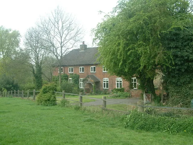
© Mark Walton · Geograph · CC BY-SA 2.0
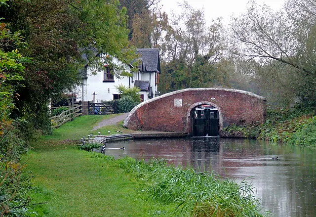
© Roger D Kidd · Geograph · CC BY-SA 2.0
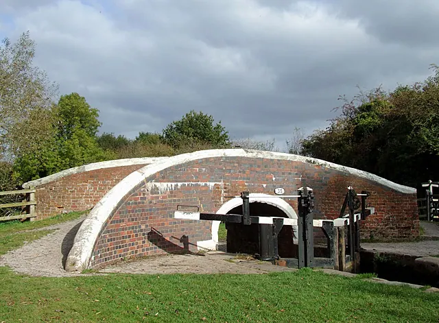
© Roger D Kidd · Geograph · CC BY-SA 2.0
Images © their respective photographers, licensed under CC BY-SA 2.0 and reused here with attribution. Photographs depict listed buildings, churches and monuments near this settlement and may show neighbouring villages.
Data derived from the Open Domesday project (opendomesday.org), based on the Domesday Book dataset compiled by Professor J.J.N. Palmer and team. The Domesday Book (1086) is in the public domain.
Found an inaccuracy? [email protected]