Walton -le-Dale in the Domesday Book (1086)
The settlement of Walton -le-Dale is recorded in William I’s Domesday survey of 1086, entered under the hundred of Blackburn in Cheshire. The survey assessed Walton -le-Dale at 3 carucates of taxable land.
At the time of the survey, Walton -le-Dale supported a recorded population of 40 villagers, 12 freemanmen, working 4 ploughs between them.
By 1086 Walton -le-Dale was worth 50 shillings, up from 30 shillings before the Conquest – a sign this community came through the Conquest without being ruined.
Resources Recorded at Walton -le-Dale (1086)
- Mills: 4 mills (valued at 13d)
- Churches: 1
- Meadow: 60 acres
Other Settlements in Blackburn
- Bardwell
- Barnham
- Barningham
- Blackburn
- Coney Weston
- Culford
- Elmswell
- Euston
- Hepworth
- Hinderclay
- Honington
- Hopton
- Huncoat
- Hunston
The Meaning of the Name
The name Walton -le-Dale is of Anglo-Saxon origin. Its final element derives from the Old English word tūn, a farmstead or village. The first element is most likely a personal name or an early descriptive term, now difficult to recover with certainty. Taken together the name probably meant something close to ‘a farmstead’.
Remarkably, the name has changed little since 1086, when the Domesday scribes wrote it as Walton -le-Dale.
Listed Buildings Near Walton -le-Dale
Historic England records 17 listed buildings within about a mile of Walton -le-Dale. Listing protects structures of special architectural or historic interest, graded I (exceptional), II* (particularly important) and II.
Grade II*
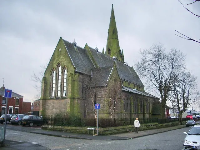
- Church of St Leonard - 0.65 km
Grade II
- Yew Tree Inn - 0.12 km
- Walton Bridge - 0.39 km
- Unicorn Inn - 0.48 km
- The Cottage - 0.55 km
- South Ribble Squash Club and Parish Rooms - 0.61 km
- Sundial 8 Metres South of Church of St Leonard - 0.66 km
- Watchhouse Circa 50 Metres East of Church of St Leonard - 0.67 km
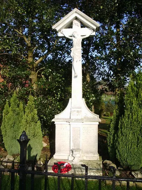
- Walton-le-Dale War Memorial - 0.86 km
- Roman Catholic Church of Our Lady and St Patrick with attached presbytery and gate piers - 0.89 km
- 24-27, Frenchwood Knoll - 0.94 km
- St James Vicarage and Attached Coach House - 1.17 km
- Presbytery Attached to Church of St Augustine - 1.24 km
- Front Portico and Towers of the Former St Augustines of Canterbury Rc Church - 1.24 km
- 35, ST AUSTIN’S ROAD (See details for further address information) - 1.26 km
- 38-44, ST AUSTIN’S PLACE (See details for further address information) - 1.27 km
- 30, 32 and 34 St Austin’s Road - 1.29 km
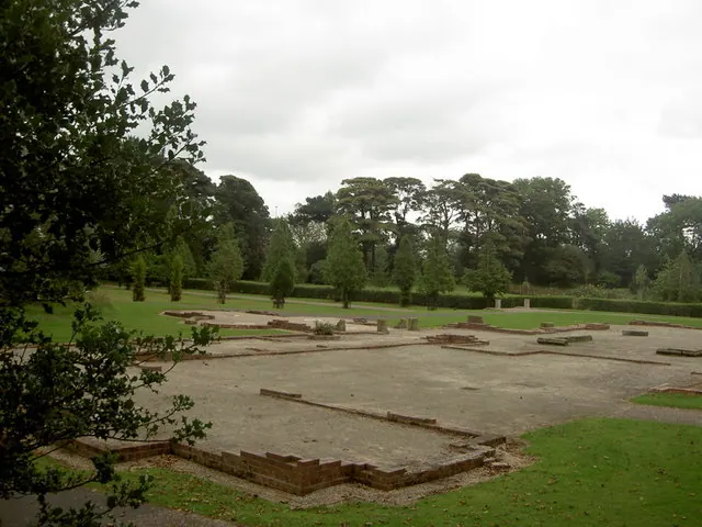
Scheduled Monuments Near Walton -le-Dale
Scheduled monuments are nationally important archaeological sites given legal protection. 1 lies within roughly a mile of Walton -le-Dale:
Walton -le-Dale Today
Today Walton -le-Dale lies within the administrative area of South Ribble, and the settlement recorded a population of 3,792 at the 2011 census. Nine and a half centuries separate that figure from the small rural community the Domesday survey recorded here in 1086.
Read more about modern Walton-le-Dale on Wikipedia .
Nearby Domesday Settlements
Other places recorded in the 1086 survey within a few miles:
- Preston - 1.4 km NW
- Fishwick - 1.4 km NE
- Higher and Lower Penwortham - 2.0 km W
- Ashton on Ribble - 3.6 km NW
- Leyland - 6.1 km S
- Broughton - 6.7 km NW
Heritage Around Walton [-le-Dale]
Photographs of churches, listed buildings and monuments in the vicinity, contributed by volunteers to the Geograph project and reused here under a Creative Commons licence.
© Alexander P Kapp · Geograph · CC BY-SA 2.0
© Alexander P Kapp · Geograph · CC BY-SA 2.0
© Patrick · Geograph · CC BY-SA 2.0
Images © their respective photographers, licensed under CC BY-SA 2.0 and reused here with attribution. Photographs depict listed buildings, churches and monuments near this settlement and may show neighbouring villages.
Data derived from the Open Domesday project (opendomesday.org), based on the Domesday Book dataset compiled by Professor J.J.N. Palmer and team. The Domesday Book (1086) is in the public domain.
Found an inaccuracy? [email protected]