Walton Head in the Domesday Book (1086)
The 1086 Domesday survey records the settlement of Walton Head, entered under the hundred of Burghshire in Yorkshire.
Other Settlements in Burghshire
- Addlethorpe
- Aismunderby
- Aldfield
- Allerton [Mauleverer]
- Arkendale
- Askwith
- Azerley
- Barrowby [Grange]
- Beckwith [House]
- Besthaim
- Bestham
- Bewerley
- Bilton
- Birstwith
The Meaning of the Name
The name Walton Head is of Anglo-Saxon origin. Its final element derives from the Old English word tūn, a farmstead or village. The first element is most likely a personal name or an early descriptive term, now difficult to recover with certainty. Taken together the name probably meant something close to ‘a farmstead’.
Remarkably, the name has changed little since 1086, when the Domesday scribes wrote it as Walton Head.
Listed Buildings Near Walton Head
Historic England records 12 listed buildings within about a mile of Walton Head. Listing protects structures of special architectural or historic interest, graded I (exceptional), II* (particularly important) and II.
Grade II
- Boundary Stone at Wareholes Well, Approximately 30 Metres From Road Side - 0.29 km
- Boundary Stone Approximately 200 Metres East of Low Snape Farmhouse - 0.32 km
- Low Snape Farm - 0.82 km
- Church of All Saints - 0.9 km
- The Old Rectory - 0.94 km
- Rectory Cottages - 0.97 km
- Old Hall - 1.13 km
- Gate-piers Approximately 10 Metres East of Old Hall - 1.15 km
- Gate-piers With Attached Walling Approximately 20 Metres South of Low Hall - 1.16 km
- Low Hall - 1.17 km
- Swindon Hall Farmhouse - 1.23 km
- Gate-piers approximately 20 metres south of Swindon Hall Farmhouse - 1.26 km
Nearby Domesday Settlements
Other places recorded in the 1086 survey within a few miles:
- Kirkby Overblow - 1.0 km E
- Tidover - 2.0 km E
- Barrowby Grange - 2.8 km SE
- Rigton - 3.0 km W
- Addlethorpe - 3.2 km E
- Dunkeswick - 3.2 km S
Heritage Around Walton [Head]
Photographs of churches, listed buildings and monuments in the vicinity, contributed by volunteers to the Geograph project and reused here under a Creative Commons licence.
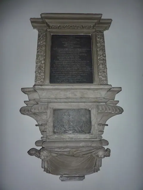
© Alexander P Kapp · Geograph · CC BY-SA 2.0
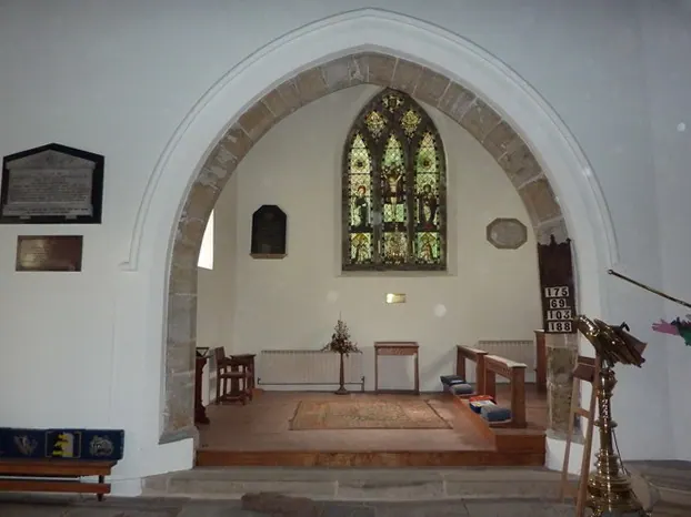
© Alexander P Kapp · Geograph · CC BY-SA 2.0
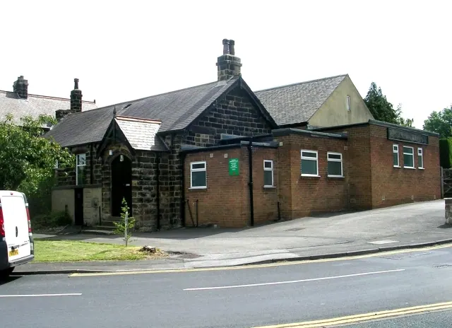
© Betty Longbottom · Geograph · CC BY-SA 2.0
Images © their respective photographers, licensed under CC BY-SA 2.0 and reused here with attribution. Photographs depict listed buildings, churches and monuments near this settlement and may show neighbouring villages.
Data derived from the Open Domesday project (opendomesday.org), based on the Domesday Book dataset compiled by Professor J.J.N. Palmer and team. The Domesday Book (1086) is in the public domain.
Found an inaccuracy? [email protected]