Wallasey in the Domesday Book (1086)
The 1086 Domesday survey records the settlement of Wallasey, entered under the hundred of Willaston in Cheshire.
Other Settlements in Willaston
The Meaning of the Name
The origin of the name Wallasey is not securely established from its modern form alone; like many settlement names in the North it likely combines an Old English or Old Norse personal name with a landscape term.
Remarkably, the name has changed little since 1086, when the Domesday scribes wrote it as Wallasey.
Listed Buildings Near Wallasey
Historic England records 15 listed buildings within about a mile of Wallasey. Listing protects structures of special architectural or historic interest, graded I (exceptional), II* (particularly important) and II.
Grade II*
- Memorial Chapel - 0.74 km
- Wallasey Town Hall including podium facing walls and steps, concrete retaining walls and steps down to the promenade, boundary walls and railings including light standards, and railings to front lawns - 1.1 km
Grade II
- Manor Church Centre - 0.13 km
- Church of St Mary - 0.51 km
- Springvale Terrace Including Garden Walls - 0.58 km
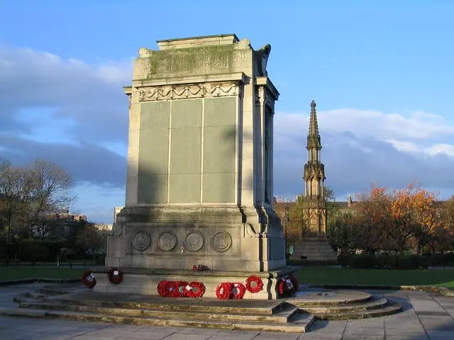
- New Brighton War Memorial - 0.87 km
- 8-26, Manor Road - 0.89 km
- Gateway to Former Liscard Battery - 0.9 km
- Egremont War Memorial - 0.93 km
- Church of St John - 0.95 km
- South African War Memorial in Central Park - 0.98 km
- That Part of the Brighton Public House Contained Within Buchanan Road the Brighton Public House - 1.06 km
- Wallasey Central Library, including former Earlston House - 1.08 km
- Church of St Alban - 1.15 km
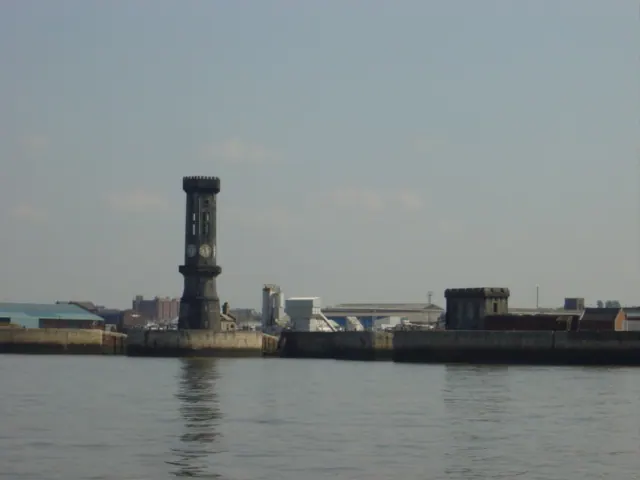
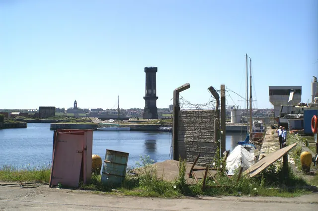
- Wallasey Water Tower - 1.24 km
Nearby Domesday Settlements
Other places recorded in the 1086 survey within a few miles:
Heritage Around Wallasey
Photographs of churches, listed buildings and monuments in the vicinity, contributed by volunteers to the Geograph project and reused here under a Creative Commons licence.
© Peter Craine · Geograph · CC BY-SA 2.0
© Sue Adair · Geograph · CC BY-SA 2.0
© David Long · Geograph · CC BY-SA 2.0
Images © their respective photographers, licensed under CC BY-SA 2.0 and reused here with attribution. Photographs depict listed buildings, churches and monuments near this settlement and may show neighbouring villages.
Data derived from the Open Domesday project (opendomesday.org), based on the Domesday Book dataset compiled by Professor J.J.N. Palmer and team. The Domesday Book (1086) is in the public domain.
Found an inaccuracy? [email protected]