Walgherton in the Domesday Book (1086)
The 1086 Domesday survey records the settlement of Walgherton, entered under the hundred of Warmundestrou in Cheshire. The survey assessed Walgherton at 0.5 carucates of taxable land.
At the time of the survey, Walgherton supported a recorded population of 8 villagers, working 2 ploughs between them.
The survey puts Walgherton’s value at 16d, the same as before the Conquest. Unchanged valuations are relatively rare in the North, where disruption was widespread.
Other Settlements in Warmundestrou
- Acton
- Aston
- Aston [juxta Mondrem]
- Audlem
- Austerson
- Baddiley
- Barthomley
- Basford
- Batherton
- Blakenhall
- Broomhall
- Buerton
- Cholmondeston
- Chorley
The Meaning of the Name
The name Walgherton is of Anglo-Saxon origin. Its final element derives from the Old English word tūn, a farmstead or village. The first element is most likely a personal name or an early descriptive term, now difficult to recover with certainty. Taken together the name probably meant something close to ‘a farmstead’.
Remarkably, the name has changed little since 1086, when the Domesday scribes wrote it as Walgherton.
Listed Buildings Near Walgherton
Historic England records 6 listed buildings within about a mile of Walgherton. Listing protects structures of special architectural or historic interest, graded I (exceptional), II* (particularly important) and II.
Grade II
- East and West Lodges Gates and Piers - 0.48 km
- The Cottage - 0.53 km
- Thatchers Cottage - 0.63 km
- Hatherton Lodge - 0.95 km
- Delves Church of England School - 0.99 km
- The Cliffe - 1.22 km
Scheduled Monuments Near Walgherton
Scheduled monuments are nationally important archaeological sites given legal protection. 3 lie within roughly a mile of Walgherton:
- Moated site 300m SE of St Chad’s Church - 1.27 km
- Site of the church of St Chad - 1.47 km
- Hall Bank moated site, Wybunbury - 1.55 km
Walgherton Today
Today Walgherton lies within the administrative area of Cheshire East, and the settlement recorded a population of 138 at the 2021 census. Nine and a half centuries separate that figure from the small rural community the Domesday survey recorded here in 1086.
Read more about modern Walgherton on Wikipedia .
Nearby Domesday Settlements
Other places recorded in the 1086 survey within a few miles:
- Wybunbury - 1.0 km N
- Hatherton - 1.4 km SW
- Stapeley - 2.2 km NW
- Shavington - 3.0 km N
- Austerson - 3.2 km W
- Blakenhall - 3.2 km E
Heritage Around Walgherton
Photographs of churches, listed buildings and monuments in the vicinity, contributed by volunteers to the Geograph project and reused here under a Creative Commons licence.
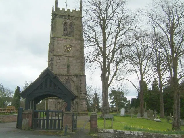
© Andy and Hilary · Geograph · CC BY-SA 2.0
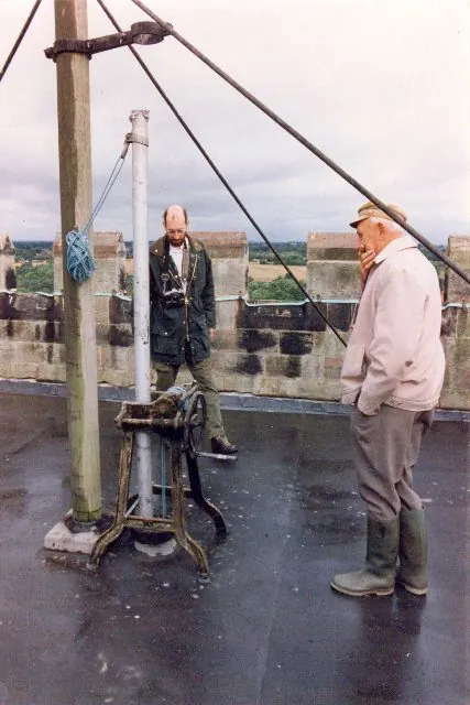
© Mike Grose · Geograph · CC BY-SA 2.0
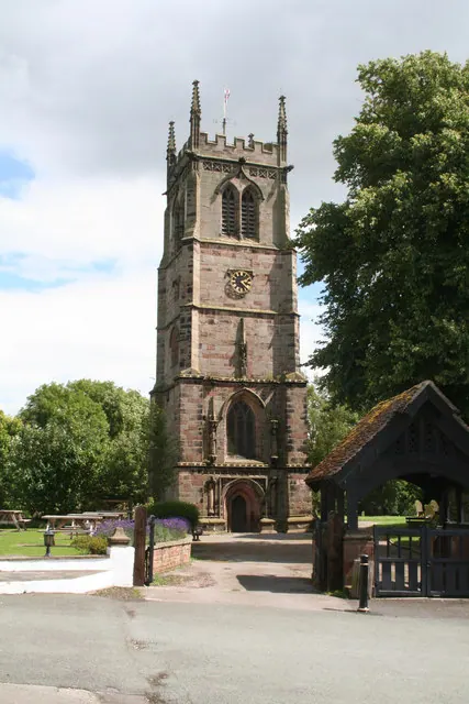
© Dr Neil Clifton · Geograph · CC BY-SA 2.0
Images © their respective photographers, licensed under CC BY-SA 2.0 and reused here with attribution. Photographs depict listed buildings, churches and monuments near this settlement and may show neighbouring villages.
Data derived from the Open Domesday project (opendomesday.org), based on the Domesday Book dataset compiled by Professor J.J.N. Palmer and team. The Domesday Book (1086) is in the public domain.
Found an inaccuracy? [email protected]