Wales in the Domesday Book (1086)
The settlement of Wales is recorded in William I’s Domesday survey of 1086, entered under the hundred of Strafforth in Yorkshire. The survey assessed Wales at 7.6 carucates of taxable land.
At the time of the survey, Wales supported a recorded population of 20 villagers, 40 smallholders, 2 slaves, 12 freemanmen, working 13 ploughs between them.
By 1086 Wales was worth 18 shillings, up from 14 shillings before the Conquest – a sign this community came through the Conquest without being ruined.
The survey lists 2 manors at Wales under different lords. Splitting a single settlement between multiple tenants was common across the North – Saxon estates broken up and handed to William’s followers after 1066.
Resources Recorded at Wales (1086)
- Mills: 1 mill
- Pigs: 2
- Sheep: 100
- Meadow: 2 acres
- Woodland: 3 acres
Other Settlements in Strafforth
- Adwick [le Street]
- Adwick [upon Dearne]
- Armthorpe
- Aston
- Attercliffe
- Auckley
- Aughton [Hall]
- Austerfield
- Balby
- Barnbrough
- Barnby [Dun]
- Bentley
- Bilham [House]
- Billingley
The Meaning of the Name
The origin of the name Wales is not securely established from its modern form alone; like many settlement names in the North it likely combines an Old English or Old Norse personal name with a landscape term.
Remarkably, the name has changed little since 1086, when the Domesday scribes wrote it as Wales.
Listed Buildings Near Wales
Historic England records 11 listed buildings within about a mile of Wales. Listing protects structures of special architectural or historic interest, graded I (exceptional), II* (particularly important) and II.
Grade II*
- Church of St John the Baptist - 0.8 km
Grade II
- Wales Court Comprising the Manor, Wales Place, Wales House and the Mews - 0.32 km
- Railway Bridge Beneath Track to Low Laithes Farm - 0.48 km
- Dovecote to Rear of Number 4 Approximately 20 Metres to North of House - 0.49 km
- The Beeches - 0.51 km
- Cartshed and Granary Attached to Barn House - 0.52 km
- War Memorial at Junction of Church Street and Wales Road - 0.58 km
- Farmbuilding Approximately 40 Metres to North East of Nickerwood Farmhouse - 0.8 km
- Step Cottage - 0.82 km
- Nickerwood Farmhouse - 0.82 km
- Milepost at Sk 46778332 - 0.85 km
Wales Today
Today Wales lies within the administrative area of Rotherham, and the settlement recorded a population of 7,510 at the 2021 census. Nine and a half centuries separate that figure from the small rural community the Domesday survey recorded here in 1086.
Nearby Domesday Settlements
Other places recorded in the 1086 survey within a few miles:
- Kiveton - 2.0 km E
- Todwick - 2.2 km NE
- Aston - 2.2 km NW
- Beighton - 3.0 km W
- Killamarsh - 3.6 km SW
- Aughton Hall - 3.6 km NW
Heritage Around Wales
Photographs of churches, listed buildings and monuments in the vicinity, contributed by volunteers to the Geograph project and reused here under a Creative Commons licence.
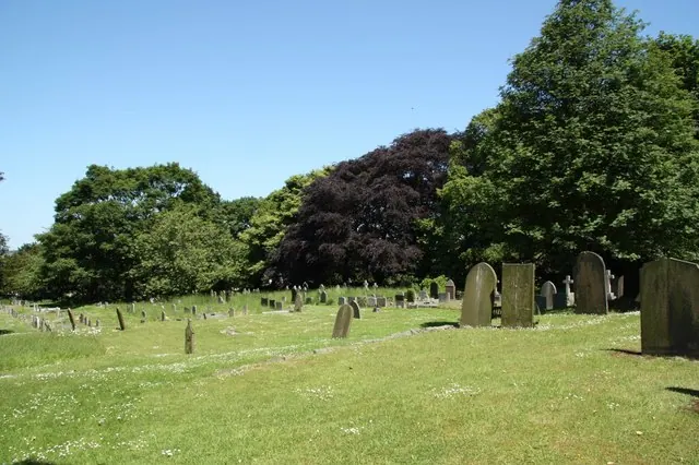
© Richard Croft · Geograph · CC BY-SA 2.0
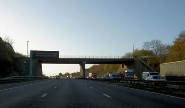
© Steve Fareham · Geograph · CC BY-SA 2.0
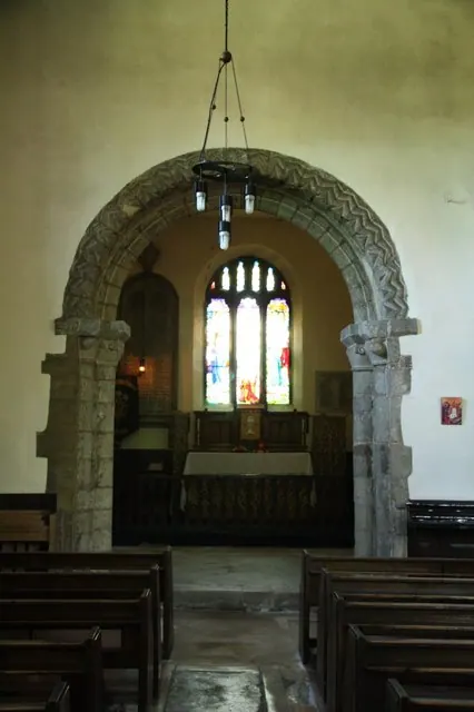
© Richard Croft · Geograph · CC BY-SA 2.0
Images © their respective photographers, licensed under CC BY-SA 2.0 and reused here with attribution. Photographs depict listed buildings, churches and monuments near this settlement and may show neighbouring villages.
Data derived from the Open Domesday project (opendomesday.org), based on the Domesday Book dataset compiled by Professor J.J.N. Palmer and team. The Domesday Book (1086) is in the public domain.
Found an inaccuracy? [email protected]