Waldershelf in the Domesday Book (1086)
The 1086 Domesday survey records the settlement of Waldershelf, entered under the hundred of Strafforth in Yorkshire.
Other Settlements in Strafforth
- Adwick [le Street]
- Adwick [upon Dearne]
- Armthorpe
- Aston
- Attercliffe
- Auckley
- Aughton [Hall]
- Austerfield
- Balby
- Barnbrough
- Barnby [Dun]
- Bentley
- Bilham [House]
- Billingley
The Meaning of the Name
The origin of the name Waldershelf is not securely established from its modern form alone; like many settlement names in the North it likely combines an Old English or Old Norse personal name with a landscape term.
Remarkably, the name has changed little since 1086, when the Domesday scribes wrote it as Waldershelf.
Listed Buildings Near Waldershelf
Historic England records 12 listed buildings within about a mile of Waldershelf. Listing protects structures of special architectural or historic interest, graded I (exceptional), II* (particularly important) and II.
Grade II
- Yew Tree Cottage - 0.34 km
- Yew Tree Farmhouse - 0.35 km
- Bolsterstone Stocks - 0.58 km
- Church of St Mary - 0.59 km
- Bolsterstone War Memorial - 0.59 km
- K6 Telephone Kiosk at Junction With Walder’s Lane - 0.61 km
- Porters Lodge, Bolsterstone Castle - 0.64 km
- Castle Cottage - 0.68 km
- Rocher Farmhouse Including Adjoining Barn - 1.09 km
- Dwarriden Cruck Barn, Approximately 200 Metres South East of Junction With Rushy Lane and Mill Lane - 1.14 km
- Barn at Raynor House Approximately 20 Metres to North West of House - 1.2 km
- Barn and Cowhouse at Edge End Farm Approximately 25 Metres to South East of Farmhouse - 1.28 km
Scheduled Monuments Near Waldershelf
Scheduled monuments are nationally important archaeological sites given legal protection. 1 lies within roughly a mile of Waldershelf:
- Glass furnace, Bolsterstone - 1.56 km
Waldershelf Today
Today Waldershelf lies within the administrative area of Stocksbridge.
Read more about modern Bolsterstone on Wikipedia .
Nearby Domesday Settlements
Other places recorded in the 1086 survey within a few miles:
- Hunshelf Hall - 3.2 km N
- Onesacre - 4.2 km SE
- Wortley - 5.0 km NE
- Thurgoland - 5.0 km NE
- Roughbirchworth - 5.0 km N
- Holdworth - 5.4 km S
Heritage Around [Walder]shelf
Photographs of churches, listed buildings and monuments in the vicinity, contributed by volunteers to the Geograph project and reused here under a Creative Commons licence.
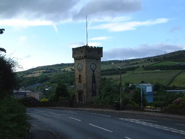
© Robin Phillips · Geograph · CC BY-SA 2.0
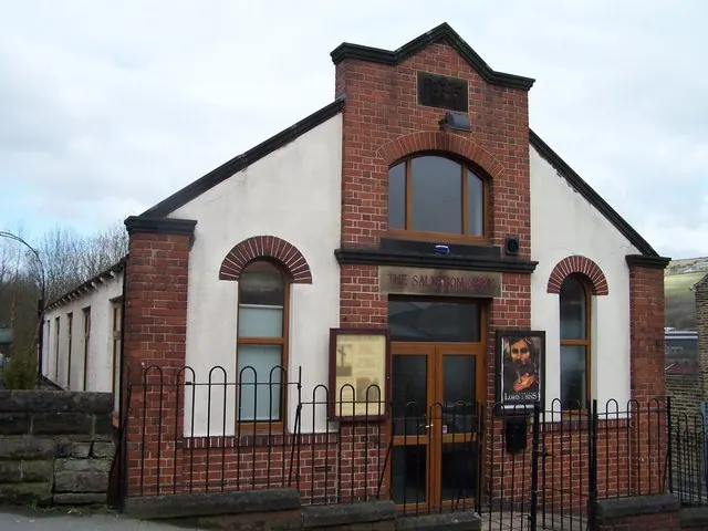
© Terry Robinson · Geograph · CC BY-SA 2.0
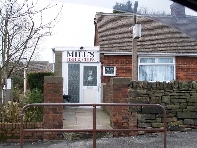
© Terry Robinson · Geograph · CC BY-SA 2.0
Images © their respective photographers, licensed under CC BY-SA 2.0 and reused here with attribution. Photographs depict listed buildings, churches and monuments near this settlement and may show neighbouring villages.
Data derived from the Open Domesday project (opendomesday.org), based on the Domesday Book dataset compiled by Professor J.J.N. Palmer and team. The Domesday Book (1086) is in the public domain.
Found an inaccuracy? [email protected]