Walden Stubbs in the Domesday Book (1086)
Walden Stubbs is named in the Domesday Book, compiled by Norman commissioners in 1086, entered under the hundred of Osgodcross in Yorkshire.
Other Settlements in Osgodcross
- Arksey
- Badsworth
- Beal
- Burgh[wallis]
- Campsall
- Darrington
- Featherstone
- Ferry [Fryston]
- Hamphall [Stubbs]
- Hensall
- Hessle
- Kellington
- Knottingley
- Minsthorpe
The Meaning of the Name
The origin of the name Walden Stubbs is not securely established from its modern form alone; like many settlement names in the North it likely combines an Old English or Old Norse personal name with a landscape term.
Remarkably, the name has changed little since 1086, when the Domesday scribes wrote it as Walden Stubbs.
Listed Buildings Near Walden Stubbs
Historic England records 9 listed buildings within about a mile of Walden Stubbs. Listing protects structures of special architectural or historic interest, graded I (exceptional), II* (particularly important) and II.
Grade II*
- Stubbs Hall - 0.82 km
Grade II
- Manor Farmhouse - 0.57 km
- Former Pigeoncote to Old Hall Farm - 0.76 km
- Former Barn to Old Hall Farm - 0.78 km
- Former Carriage House, Stables, Barn and Butchery at Old Hall Farm - 0.79 km
- Tanpit Bridge - 0.83 km
- Village Cross - 0.85 km
- Went Bridge - 0.97 km
- Milepost Adjacent to South East Corner of Went Bridge - 0.97 km
Scheduled Monuments Near Walden Stubbs
Scheduled monuments are nationally important archaeological sites given legal protection. 2 lie within roughly a mile of Walden Stubbs:
- Medieval standing cross on Tanpit Lane, 150m west of Wentbank House - 0.85 km
- Manorial complex including the site of Norton Manor House, chapel, dovecote, moat, fishponds, field system and mill, 600m south west of Wentbank House - 1.27 km
Walden Stubbs Today
Today Walden Stubbs lies within the administrative area of Stubbs Walden.
Read more about modern Walden Stubbs on Wikipedia .
Nearby Domesday Settlements
Other places recorded in the 1086 survey within a few miles:
Heritage Around [Walden] Stubbs
Photographs of churches, listed buildings and monuments in the vicinity, contributed by volunteers to the Geograph project and reused here under a Creative Commons licence.
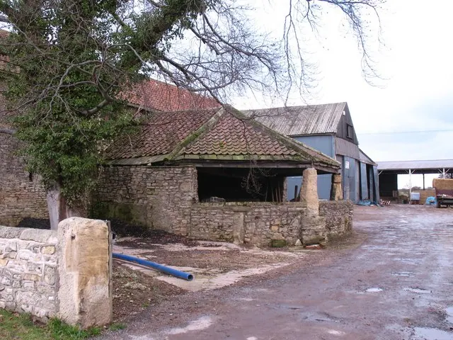
© Gordon Hatton · Geograph · CC BY-SA 2.0
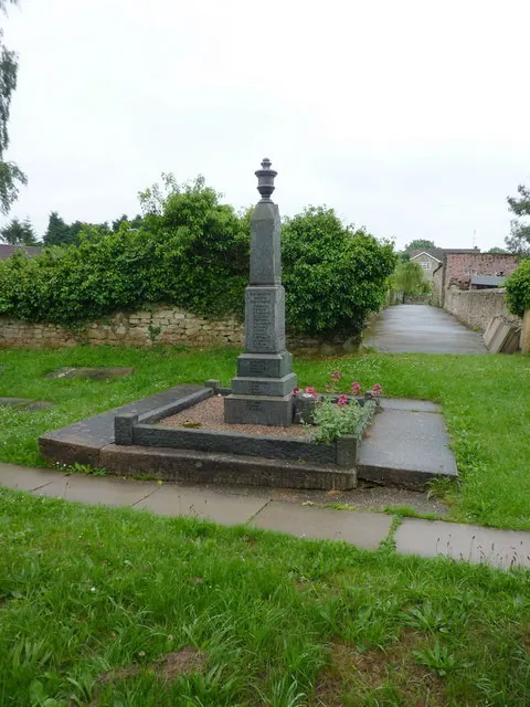
© Alexander P Kapp · Geograph · CC BY-SA 2.0
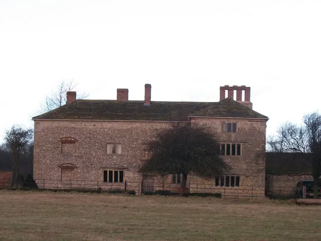
© Gordon Hatton · Geograph · CC BY-SA 2.0
Images © their respective photographers, licensed under CC BY-SA 2.0 and reused here with attribution. Photographs depict listed buildings, churches and monuments near this settlement and may show neighbouring villages.
Data derived from the Open Domesday project (opendomesday.org), based on the Domesday Book dataset compiled by Professor J.J.N. Palmer and team. The Domesday Book (1086) is in the public domain.
Found an inaccuracy? [email protected]