Wakefield in the Domesday Book (1086)
The settlement of Wakefield is recorded in William I’s Domesday survey of 1086, entered under the hundred of Agbrigg in Yorkshire.
Other Settlements in Agbrigg
- Ackton
- Almondbury
- Austonley
- Bradley
- Cartworth
- Crigglestone
- Crofton
- Dalton
- Emley
- Farnley [Tyas]
- Flockton
- Fulstone
- Golcar
- Hepworth
The Meaning of the Name
The name Wakefield is of Anglo-Saxon origin. Its final element derives from the Old English word feld, open country. The first element is most likely a personal name or an early descriptive term, now difficult to recover with certainty. Taken together the name probably meant something close to ‘a open land’.
Remarkably, the name has changed little since 1086, when the Domesday scribes wrote it as Wakefield.
Listed Buildings Near Wakefield
Historic England records 144 listed buildings within about a mile of Wakefield. Listing protects structures of special architectural or historic interest, graded I (exceptional), II* (particularly important) and II.
Grade I
- Wakefield Bridge - 0.39 km
- Chapel of St Mary on East Side of Wakefield Bridge - 0.4 km
- Cathedral Church of All Saints - 0.46 km
Grade II
- Urban Studies Centre - 0.13 km
- 24, Trinity Church Gate - 0.16 km
- The Wakefield Arms - 0.2 km
- 11-23, GEORGE STREET (See details for further address information) - 0.2 km
- Entrance Block to Kirkgate Station - 0.25 km
- 5 AND 5A, SOUTH PARADE (See details for further address information) - 0.3 km
- Zion United Reformed Church and Lodge to North East - 0.32 km
- Former Board Room for the Aire and Calder Navigation Company - 0.34 km
- 1-4, South Parade - 0.39 km
- 17, Kirkgate - 0.4 km
- Church of St Andrew and St Mary - 0.4 km
- 19 and 21, Kirkgate - 0.4 km
- 11 and 13, Kirkgate - 0.41 km
- Watermill at Ng Se33662005 - 0.43 km
- Packhorse Bridge - 0.46 km
- Railings on the Northern Boundary of the Cathedral Grounds - 0.49 km
- 8, Westmorland Street - 0.5 km
- Glad Tidings Hall - 0.5 km
- 12 Westgate - 0.5 km
- Rutland Mill - 0.51 km
- Bridge over Ings Beck - 0.51 km
…and 120 more listed structures in the area.
Scheduled Monuments Near Wakefield
Scheduled monuments are nationally important archaeological sites given legal protection. 2 lie within roughly a mile of Wakefield:
- Wakefield Bridge - 0.39 km
- Lowe Hill motte and bailey castle - 1.19 km
Nearby Domesday Settlements
Other places recorded in the 1086 survey within a few miles:
Heritage Around Wakefield
Photographs of churches, listed buildings and monuments in the vicinity, contributed by volunteers to the Geograph project and reused here under a Creative Commons licence.
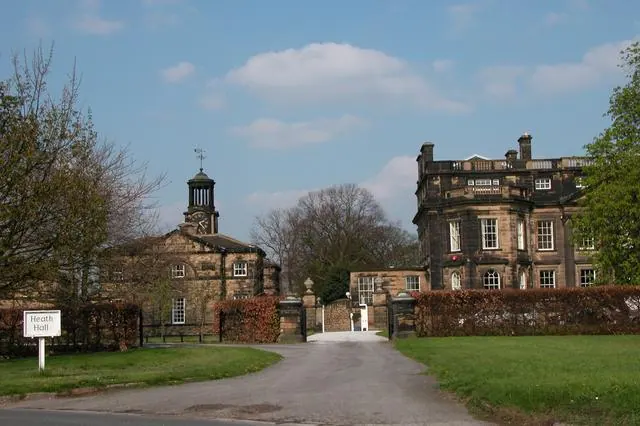
© Martyn Pattison · Geograph · CC BY-SA 2.0
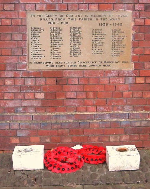
© Alan Longbottom · Geograph · CC BY-SA 2.0
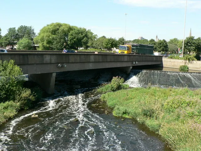
© Rich Tea · Geograph · CC BY-SA 2.0
Images © their respective photographers, licensed under CC BY-SA 2.0 and reused here with attribution. Photographs depict listed buildings, churches and monuments near this settlement and may show neighbouring villages.
Data derived from the Open Domesday project (opendomesday.org), based on the Domesday Book dataset compiled by Professor J.J.N. Palmer and team. The Domesday Book (1086) is in the public domain.
Found an inaccuracy? [email protected]