Wadworth in the Domesday Book (1086)
The 1086 Domesday survey records the settlement of Wadworth, entered under the hundred of Strafforth in Yorkshire.
Other Settlements in Strafforth
- Adwick [le Street]
- Adwick [upon Dearne]
- Armthorpe
- Aston
- Attercliffe
- Auckley
- Aughton [Hall]
- Austerfield
- Balby
- Barnbrough
- Barnby [Dun]
- Bentley
- Bilham [House]
- Billingley
The Meaning of the Name
The name Wadworth is of Anglo-Saxon origin. Its final element derives from the Old English word worð, an enclosure or homestead. The first element is most likely a personal name or an early descriptive term, now difficult to recover with certainty. Taken together the name probably meant something close to ‘a enclosure’.
Remarkably, the name has changed little since 1086, when the Domesday scribes wrote it as Wadworth.
Listed Buildings Near Wadworth
Historic England records 1 listed building within about a mile of Wadworth. Listing protects structures of special architectural or historic interest, graded I (exceptional), II* (particularly important) and II.
Grade II
Scheduled Monuments Near Wadworth
Scheduled monuments are nationally important archaeological sites given legal protection. 3 lie within roughly a mile of Wadworth:
- Round barrow 900m NNE of Oak House - 1.05 km
- Round barrow 550m east of Cam House - 1.07 km
- Round barrow 1000m ESE of High Ellermire Farm - 1.51 km
Nearby Domesday Settlements
Other places recorded in the 1086 survey within a few miles:
- Loversall - 1.4 km NE
- Stainton - 4.1 km S
- Arden Hall - 8.1 km SW
- Hawnby - 8.2 km S
- Dromonby Hall - 8.5 km N
- Little Busby - 8.6 km NW
Heritage Around Wadworth
Photographs of churches, listed buildings and monuments in the vicinity, contributed by volunteers to the Geograph project and reused here under a Creative Commons licence.
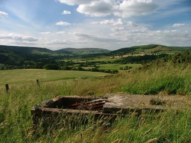
© Mick Garratt · Geograph · CC BY-SA 2.0
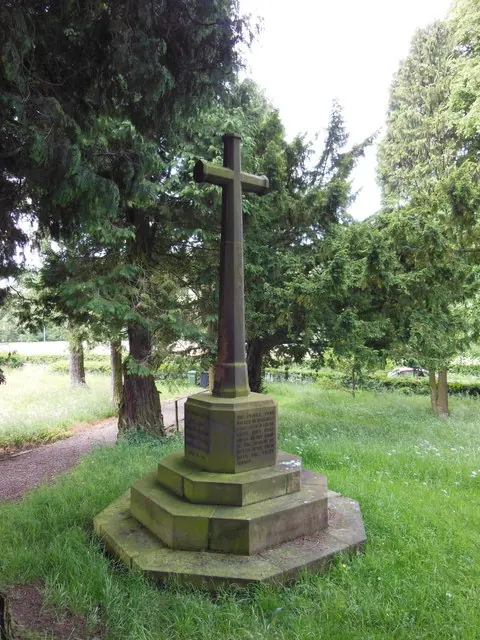
© Ian S · Geograph · CC BY-SA 2.0
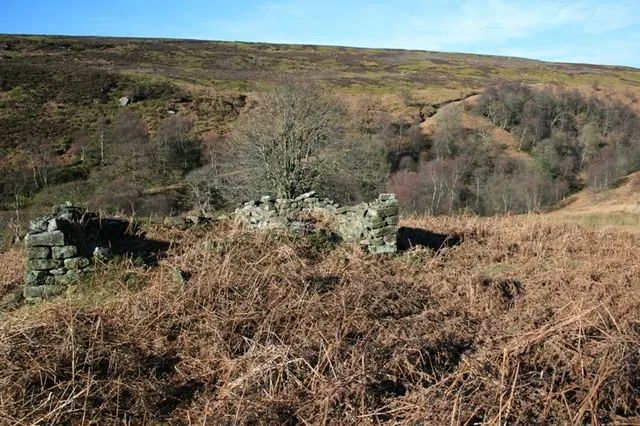
© Mick Garratt · Geograph · CC BY-SA 2.0
Images © their respective photographers, licensed under CC BY-SA 2.0 and reused here with attribution. Photographs depict listed buildings, churches and monuments near this settlement and may show neighbouring villages.
Data derived from the Open Domesday project (opendomesday.org), based on the Domesday Book dataset compiled by Professor J.J.N. Palmer and team. The Domesday Book (1086) is in the public domain.
Found an inaccuracy? [email protected]