Wadsworth in the Domesday Book (1086)
The 1086 Domesday survey records the settlement of Wadsworth, entered under the hundred of Morley in Yorkshire.
Other Settlements in Morley
- Allerton
- Armley
- Batley
- Beeston
- Bolton
- Bowling
- Bradford
- Bramley
- Calverley
- Carlton
- Chellow [Grange]
- Clayton
- Clifton
- Cruttonstall
The Meaning of the Name
The name Wadsworth is of Anglo-Saxon origin. Its final element derives from the Old English word worð, an enclosure or homestead. The first element is most likely a personal name or an early descriptive term, now difficult to recover with certainty. Taken together the name probably meant something close to ‘a enclosure’.
Remarkably, the name has changed little since 1086, when the Domesday scribes wrote it as Wadsworth.
Listed Buildings Near Wadsworth
Historic England records 153 listed buildings within about a mile of Wadsworth. Listing protects structures of special architectural or historic interest, graded I (exceptional), II* (particularly important) and II.
Grade II*
- Wainsgate Baptist Church and Attached Sunday School - 0.4 km
- Akroyd Farm Cottage Akroyd Farmhouse - 0.68 km
Grade II
- Milestone on East Side of Road Half A Mile (Approximatley) to North of Junction With Midgehole Road - 0.08 km
- 1/2, 3/4, Boston Hill Cottages - 0.19 km
- Guide Post at Junction With Akroyd Lane and Patrock Lane - 0.24 km
- Old Town Mill - 0.27 km
- Holme Cottage Raw Holme Farmhouse - 0.28 km
- 1-5, Wainsgate Lane - 0.29 km
- Old Town Hall, 3-9 Old Town Hall Cottages and attached gateway - 0.32 km
- Number 1 Old Town Hall Cottages - 0.33 km
- 1-3, Old Town Hall Court - 0.35 km
- Table Tomb and Surrounding Railings to John Fawcett’s Grave in Wainsgate Baptist Church Graveyard - 0.37 km
- Crabtree Fold Farmhouse - 0.37 km
- Crabtree Fold Old Town House and Attached Barn - 0.38 km
- Old Town Farmhouse and attached barn - 0.43 km
- Old Town Farm Cottages - 0.44 km
- Guide Post at Junction With Walker Lane - 0.49 km
- Numbers 1-6 Green End and Attached Barn - 0.53 km
- Club Houses - 0.58 km
- Nos 3, 4 and 5 Chiserley Hall - 0.67 km
- Wood End House - 0.67 km
- Guide Post at Junction With Northwell Lane - 0.68 km
- Nos 1 and 2 Chiserley Hall and Archway Attached to no 2 - 0.69 km
- Barn 10 Metres to South of Number 2 Chiserley Hall - 0.7 km
…and 129 more listed structures in the area.
Scheduled Monuments Near Wadsworth
Scheduled monuments are nationally important archaeological sites given legal protection. 3 lie within roughly a mile of Wadsworth:
- Wayside cross known as Tinker Cross - 0.74 km
- Old Church of St Thomas Becket, 210m north east of Daisy Field Farm - 1.01 km
- The old bridge over the Hebden Water at Hebden Bridge - 1.24 km
Wadsworth Today
Today Wadsworth lies within the administrative area of Calderdale, and the settlement recorded a population of 1,501 at the 2021 census. Nine and a half centuries separate that figure from the small rural community the Domesday survey recorded here in 1086.
Read more about modern Wadsworth on Wikipedia .
Nearby Domesday Settlements
Other places recorded in the 1086 survey within a few miles:
- Cruttonstall - 2.2 km SW
- Midgley - 3.6 km SE
- Stansfield - 6.4 km SW
- Sowerby - 7.1 km SE
- Warley - 7.2 km SE
- Longfield - 7.8 km SW
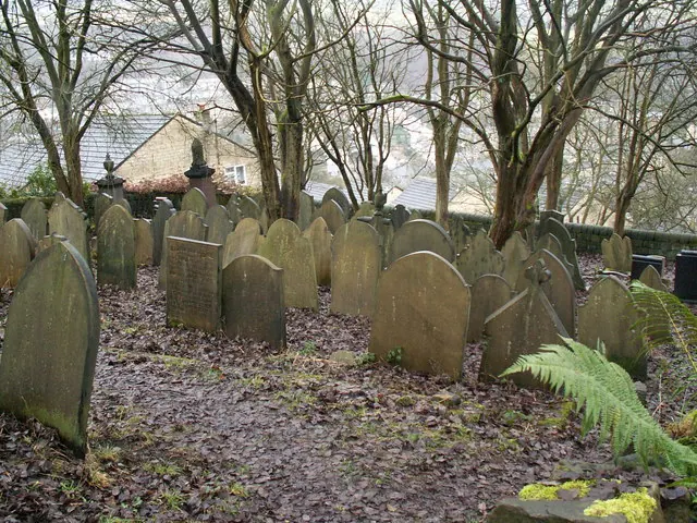
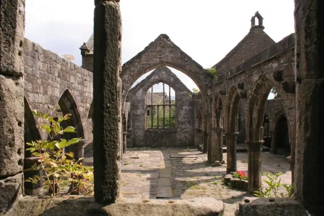
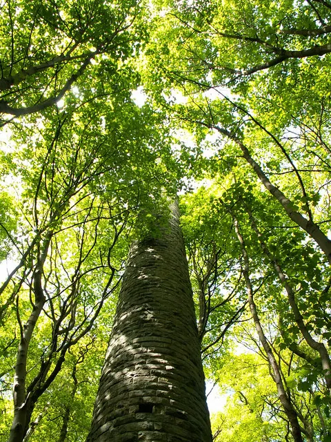
Heritage Around Wadsworth
Photographs of churches, listed buildings and monuments in the vicinity, contributed by volunteers to the Geograph project and reused here under a Creative Commons licence.
© Phil Champion · Geograph · CC BY-SA 2.0
© Mark Anderson · Geograph · CC BY-SA 2.0
© Phil Champion · Geograph · CC BY-SA 2.0
Images © their respective photographers, licensed under CC BY-SA 2.0 and reused here with attribution. Photographs depict listed buildings, churches and monuments near this settlement and may show neighbouring villages.
Data derived from the Open Domesday project (opendomesday.org), based on the Domesday Book dataset compiled by Professor J.J.N. Palmer and team. The Domesday Book (1086) is in the public domain.
Found an inaccuracy? [email protected]