Wadsley in the Domesday Book (1086)
Wadsley is named in the Domesday Book, compiled by Norman commissioners in 1086, entered under the hundred of Strafforth in Yorkshire.
Other Settlements in Strafforth
- Adwick [le Street]
- Adwick [upon Dearne]
- Armthorpe
- Aston
- Attercliffe
- Auckley
- Aughton [Hall]
- Austerfield
- Balby
- Barnbrough
- Barnby [Dun]
- Bentley
- Bilham [House]
- Billingley
The Meaning of the Name
The name Wadsley is of Anglo-Saxon origin. Its final element derives from the Old English word lēah, a woodland clearing or glade. The first element is most likely a personal name or an early descriptive term, now difficult to recover with certainty. Taken together the name probably meant something close to ‘a clearing’.
Remarkably, the name has changed little since 1086, when the Domesday scribes wrote it as Wadsley.
Listed Buildings Near Wadsley
Historic England records 37 listed buildings within about a mile of Wadsley. Listing protects structures of special architectural or historic interest, graded I (exceptional), II* (particularly important) and II.
Grade II
- Wadsley House Club - 0.14 km
- Wadsley Hall and Adjoining Barns and Stables - 0.15 km
- Wadsley Hall Farmhouse - 0.18 km
- Dial House Club and Attached Boundary Wall - 0.28 km
- Wadsley Vicarage - 0.46 km
- Hillsborough House and Attached Boundary Walls, Railings and Outbuildings - 0.47 km
- Caretakers House at Hillsborough Schools - 0.49 km
- Wadsley Parish Church - 0.5 km
- Rear Range at Hillsborough Schools - 0.52 km
- Hillsborough Nursery, First and Middle Schools and Walls, Railings and Outbuildings - 0.53 km
- West Lodge at Hillsborough Park - 0.54 km
- Former Wadsley School Clubhouse - 0.57 km
- Wadsley Almshouses - 0.6 km
- Coach House and Stable 20 Metres North West of Hillsborough Hall - 0.61 km
- Wadsley Stocks 5 Metres South East of the Wadsley Jack Public House (Public House Not Included) - 0.66 km
- Hillsborough Hall Public Library and Adjoining Boundary Wall - 0.66 km
- Sewer gas lamp at junction with Kendal Road and Hawthorn Road - 0.72 km
- Rose and Crown Public House and Attached Wall - 0.73 km
- Sewer gas lamp 15 metres south of No. 235, Rural Lane - 0.73 km
- Number 239 and Attached Boundary Wall - 0.75 km
- Lodge With Attached Railings and Gateway at Middlewood Hospital - 0.76 km
- Church at Middlewood Hospital - 0.84 km
- East Lodge to Hillsborough Park - 0.89 km
- Gateway and Boundary Wall at Number 947 East Lodge to Hillsborough House - 0.9 km
…and 13 more listed structures in the area.
Scheduled Monuments Near Wadsley
Scheduled monuments are nationally important archaeological sites given legal protection. 1 lies within roughly a mile of Wadsley:
- Mousehole Forge, Malin Bridge - 1.4 km
Wadsley Today
Today Wadsley lies within the administrative area of Sheffield, and the settlement recorded a population of 5,631 at recent figures. Nine and a half centuries separate that figure from the small rural community the Domesday survey recorded here in 1086.
Read more about modern Wadsley on Wikipedia .
Nearby Domesday Settlements
Other places recorded in the 1086 survey within a few miles:
Heritage Around Wadsley
Photographs of churches, listed buildings and monuments in the vicinity, contributed by volunteers to the Geograph project and reused here under a Creative Commons licence.
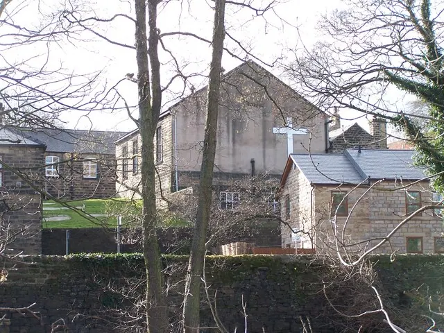
© Terry Robinson · Geograph · CC BY-SA 2.0
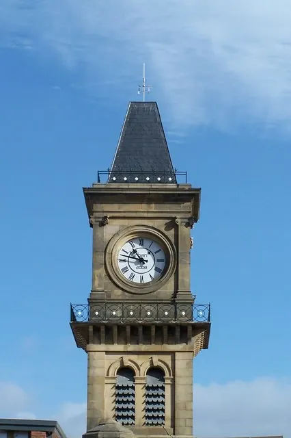
© Terry Robinson · Geograph · CC BY-SA 2.0
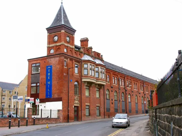
© Roger May · Geograph · CC BY-SA 2.0
Images © their respective photographers, licensed under CC BY-SA 2.0 and reused here with attribution. Photographs depict listed buildings, churches and monuments near this settlement and may show neighbouring villages.
Data derived from the Open Domesday project (opendomesday.org), based on the Domesday Book dataset compiled by Professor J.J.N. Palmer and team. The Domesday Book (1086) is in the public domain.
Found an inaccuracy? [email protected]