Waddington in the Domesday Book (1086)
The 1086 Domesday survey records the settlement of Waddington, entered under the hundred of Craven in Yorkshire.
Other Settlements in Craven
- Addingham
- Airton
- Anley
- Appletreewick
- Arncliffe
- Arnford
- Barnoldswick
- Bashall [Eaves]
- Battersby [Barn]
- Beamsley
- Birkby [Hall]
- Bogeuurde
- Bolton [Abbey]
- Bolton [by Bowland]
The Meaning of the Name
The name Waddington is of Anglo-Saxon origin. Its final element derives from the Old English word tūn, a farmstead or village. The first element is most likely a personal name or an early descriptive term, now difficult to recover with certainty. Taken together the name probably meant something close to ‘a farmstead’.
Remarkably, the name has changed little since 1086, when the Domesday scribes wrote it as Waddington.
Listed Buildings Near Waddington
Historic England records 21 listed buildings within about a mile of Waddington. Listing protects structures of special architectural or historic interest, graded I (exceptional), II* (particularly important) and II.
Grade II*
- Church of St Helen - 0.44 km
Grade II
- New Hall - 0.34 km
- Beechthorpe - 0.4 km
- Sundial approximately 5 metres south west of south porch, Church of St Helen - 0.42 km
- Brook House Farmhouse and Barn Adjoining to North West - 0.43 km
- Sundial base approximately 10 metres south of chancel, Church of St Helen - 0.43 km
- Waddington War Memorial - 0.43 km
- Wall West of Waddington Hall Containing 2 Gateways and 2 Pairs of Gate Piers With Gates - 0.45 km
- Tomb of Robert Parker in St Helen’s Churchyard, approximately 1 metre east of chancel - 0.45 km
- Stocks - 0.47 km
- Waddington Hall - 0.47 km
- Wetters Bridge - 0.5 km
- Post Office and House Adjoining to South - 0.51 km
- Glebe House - 0.54 km
- Waddington Bridge - 0.56 km
- Ivy Cottage - 0.57 km
- Waddington Hospital Gateway - 0.6 km
- Pump 55 Metres South of Chapel, Waddington Hospital - 0.61 km
- Backridge Farmhouse and Farm Building Adjoining to South West - 1.05 km
- Waddow Hall - 1.19 km
- Lane Side - 1.2 km
Waddington Today
Today Waddington lies within the administrative area of Ribble Valley, and the settlement recorded a population of 1,008 at the 2021 census. Nine and a half centuries separate that figure from the small rural community the Domesday survey recorded here in 1086.
Read more about modern Waddington on Wikipedia .
Nearby Domesday Settlements
Other places recorded in the 1086 survey within a few miles:
- Bashall Eaves - 1.4 km SW
- West Bradford - 2.2 km NE
- Grindleton - 4.5 km NE
- Pendleton - 5.0 km SE
- Great Mitton - 5.1 km S
- Sotleie - 6.0 km W
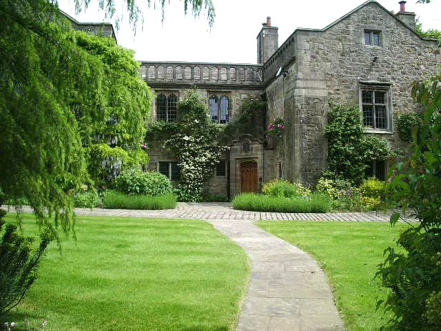
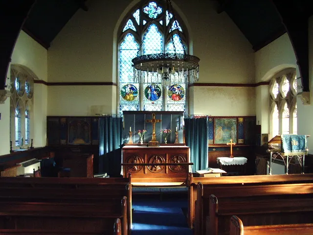
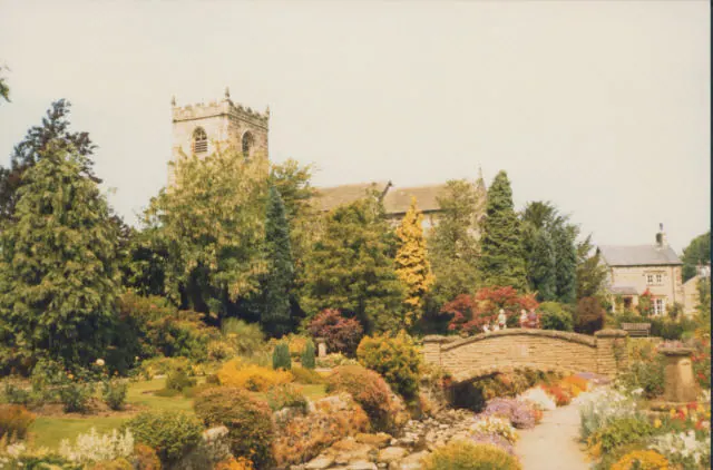
Heritage Around Waddington
Photographs of churches, listed buildings and monuments in the vicinity, contributed by volunteers to the Geograph project and reused here under a Creative Commons licence.
© Alexander P Kapp · Geograph · CC BY-SA 2.0
© Alexander P Kapp · Geograph · CC BY-SA 2.0
© Stephen Craven · Geograph · CC BY-SA 2.0
Images © their respective photographers, licensed under CC BY-SA 2.0 and reused here with attribution. Photographs depict listed buildings, churches and monuments near this settlement and may show neighbouring villages.
Data derived from the Open Domesday project (opendomesday.org), based on the Domesday Book dataset compiled by Professor J.J.N. Palmer and team. The Domesday Book (1086) is in the public domain.
Found an inaccuracy? [email protected]