Utley in the Domesday Book (1086)
The settlement of Utley is recorded in William I’s Domesday survey of 1086, entered under the hundred of Craven in Yorkshire.
Other Settlements in Craven
- Addingham
- Airton
- Anley
- Appletreewick
- Arncliffe
- Arnford
- Barnoldswick
- Bashall [Eaves]
- Battersby [Barn]
- Beamsley
- Birkby [Hall]
- Bogeuurde
- Bolton [Abbey]
- Bolton [by Bowland]
The Meaning of the Name
The name Utley is of Anglo-Saxon origin. Its final element derives from the Old English word lēah, a woodland clearing or glade. The first element is most likely a personal name or an early descriptive term, now difficult to recover with certainty. Taken together the name probably meant something close to ‘a clearing’.
Remarkably, the name has changed little since 1086, when the Domesday scribes wrote it as Utley.
Listed Buildings Near Utley
Historic England records 33 listed buildings within about a mile of Utley. Listing protects structures of special architectural or historic interest, graded I (exceptional), II* (particularly important) and II.
Grade II
- Manor Farmhouse Manor Farmhouse Cottage - 0.2 km
- Butterfield Family Chapel and Vault Opposite Main Gateway of Utley Cemetery - 0.34 km
- Cliffe Castle (Museum) - 0.4 km
- Turnpike Gateway in Part of Cliffe Castle Approximately 3 Metres to South West of House - 0.43 km
- Utley House - 0.46 km
- 9, Birchwood Road - 0.46 km
- Guidestone at Junction With Barr House Lane, Opposite Cairn Croft - 0.49 km
- 4B, 6, 7 and 9, Croft House Lane - 0.49 km
- Twin Fountains in Park of Cliffe Castle Approximately 50 Metres to North East and South East of House - 0.51 km
- Gate Lodge and Gates to Whinburn Lodge - 0.65 km
- Upper Garden Pavilion at Whinburn - 0.71 km
- Lodge and Entrance to Cliffe Castle - 0.72 km
- Whinburn Lodge and attached Stable Block and Coach House - 0.76 km
- Laurel Mount Rest Home - 0.78 km
- Steps, Terrace Wall, Balustrade and Archway to Front and Left of Laurel Mount Rest Home - 0.79 km
- Springfield - 0.86 km
- Oaklands Private Chapel of Rest - 0.88 km
- Elam Grange - 0.98 km
- Barn 100 Metres East of Low Holden, Keighley Golf Club House - 1.0 km
- Roman Catholic Church of St Anne - 1.01 km
- Presbytery of St Annes Roman Catholic Church - 1.03 km
- Farm Buildings Approximately 60 Metres to North East of Elam Grange - 1.05 km
- Barn Approximately 70 Metres North North East of Elam Grange - 1.05 km
- Limekiln in Bank Near Canal Approximately 170 Metres to North of Elam Grange - 1.09 km
…and 9 more listed structures in the area.
Scheduled Monuments Near Utley
Scheduled monuments are nationally important archaeological sites given legal protection. 1 lies within roughly a mile of Utley:
Utley Today
Today Utley lies within the administrative area of Keighley, and the settlement recorded a population of 5,500 at recent figures. Nine and a half centuries separate that figure from the small rural community the Domesday survey recorded here in 1086.
Read more about modern Utley on Wikipedia .
Nearby Domesday Settlements
Other places recorded in the 1086 survey within a few miles:
Heritage Around Utley
Photographs of churches, listed buildings and monuments in the vicinity, contributed by volunteers to the Geograph project and reused here under a Creative Commons licence.
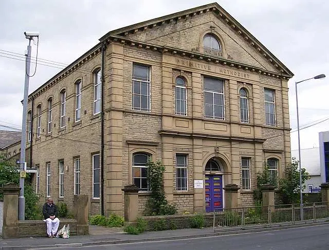
© Betty Longbottom · Geograph · CC BY-SA 2.0
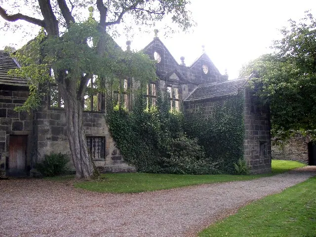
© Humphrey Bolton · Geograph · CC BY-SA 2.0
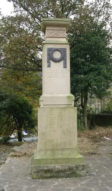
© Betty Longbottom · Geograph · CC BY-SA 2.0
Images © their respective photographers, licensed under CC BY-SA 2.0 and reused here with attribution. Photographs depict listed buildings, churches and monuments near this settlement and may show neighbouring villages.
Data derived from the Open Domesday project (opendomesday.org), based on the Domesday Book dataset compiled by Professor J.J.N. Palmer and team. The Domesday Book (1086) is in the public domain.
Found an inaccuracy? [email protected]