Upton by Chester in the Domesday Book (1086)
Upton by Chester is named in the Domesday Book, compiled by Norman commissioners in 1086, entered under the hundred of Willaston in Cheshire. The survey assessed Upton by Chester at 2.4 carucates of taxable land.
At the time of the survey, Upton by Chester supported a recorded population of 13 villagers, 7 smallholders, 2 slaves, 31 freemanmen, working 18 ploughs between them.
Something went badly wrong here between the two surveys. Before 1066, Upton by Chester was worth 2.26 shillings; by 1086 that had dropped to 2 shillings – a fall of 11%. Most Yorkshire villages that lost value on this scale were swept up in the Harrying of the North – William’s scorched-earth campaign of 1069–70.
The survey lists 3 manors at Upton by Chester under different lords. Splitting a single settlement between multiple tenants was common across the North – Saxon estates broken up and handed to William’s followers after 1066.
Resources Recorded at Upton by Chester (1086)
- Mills: 1 mill (valued at 5d)
- Churches: 1
- Fisheries: 0
- Meadow: 30 acres
- Woodland: 15 acres
Other Settlements in Willaston
The Meaning of the Name
The name Upton by Chester is of Anglo-Saxon origin. Its final element derives from the Old English word tūn, a farmstead or village. The first element is most likely a personal name or an early descriptive term, now difficult to recover with certainty. Taken together the name probably meant something close to ‘a farmstead’.
Remarkably, the name has changed little since 1086, when the Domesday scribes wrote it as Upton by Chester.
Listed Buildings Near Upton by Chester
Historic England records 11 listed buildings within about a mile of Upton by Chester. Listing protects structures of special architectural or historic interest, graded I (exceptional), II* (particularly important) and II.
Grade II
- Rose Cottage - 0.12 km
- Church of the Holy Ascension - 0.42 km
- Footpath Guidepost in North West Corner of the Garden of Longlands - 0.58 km
- Upton and District War Memorial Cross - 0.58 km
- Upton Mill - 0.75 km
- Parish Boundary Stone in the Grounds of Chester Zoo - 0.77 km
- Countess of Chester Hospital (Original Block) - 0.97 km
- Oakfield (Headquarters of Chester Zoo) - 1.07 km
- Church at Countess of Chester Hospital 200 Metres South West of 1829 Block - 1.09 km
- West Range of Former Stables at Oakfield, Chester Zoo - 1.12 km
- Knolls Bridge (Canal Bridge Number 131) - 1.15 km
Scheduled Monuments Near Upton by Chester
Scheduled monuments are nationally important archaeological sites given legal protection. 4 lie within roughly a mile of Upton by Chester:
- Roman camp at Upton Heath, beside the water tower north of Long Lane - 1.16 km
- Roman camp at Upton, 350m north east of the water tower north of Long Lane - 1.4 km
- Roman camp 300m west of Upton Grange Farm - 1.45 km
- Roman camp at Upton, 400m east of the water tower north of Long Lane - 1.51 km
Upton by Chester Today
Today Upton by Chester lies within the administrative area of Cheshire West and Chester, and the settlement recorded a population of 8,528 at the 2021 census. Nine and a half centuries separate that figure from the small rural community the Domesday survey recorded here in 1086.
Read more about modern Upton-by-Chester on Wikipedia .
Nearby Domesday Settlements
Other places recorded in the 1086 survey within a few miles:
- Mollington - 1.4 km NW
- Newton by Chester - 1.4 km SE
- Wervin - 2.2 km NE
- Chester - 3.0 km S
- Redcliff - 3.2 km S
- Croughton - 3.2 km N
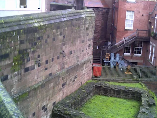
Heritage Around Upton [by Chester]
Photographs of churches, listed buildings and monuments in the vicinity, contributed by volunteers to the Geograph project and reused here under a Creative Commons licence.
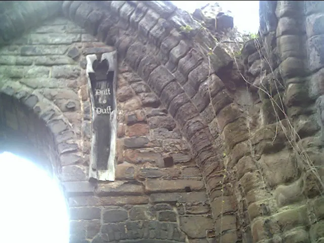
© chestertouristcom · Geograph · CC BY-SA 2.0
© chestertouristcom · Geograph · CC BY-SA 2.0

© Dennis Turner · Geograph · CC BY-SA 2.0
Images © their respective photographers, licensed under CC BY-SA 2.0 and reused here with attribution. Photographs depict listed buildings, churches and monuments near this settlement and may show neighbouring villages.
Data derived from the Open Domesday project (opendomesday.org), based on the Domesday Book dataset compiled by Professor J.J.N. Palmer and team. The Domesday Book (1086) is in the public domain.
Found an inaccuracy? [email protected]