Upsland in the Domesday Book (1086)
Upsland appears in the Domesday Book of 1086, entered under the hundred of Land of Count Alan in Yorkshire.
Other Settlements in Land of Count Alan
- Achebi
- Agglethorpe
- Ainderby [Mires]
- Ainderby [Quernhow]
- Aiskew
- Aldbrough
- Allerthorpe [Hall]
- Ascam
- Ascham
- Asebi
- Aske [Hall]
- Askrigg
- Aysgarth
- Baldersby
The Meaning of the Name
The origin of the name Upsland is not securely established from its modern form alone; like many settlement names in the North it likely combines an Old English or Old Norse personal name with a landscape term.
Remarkably, the name has changed little since 1086, when the Domesday scribes wrote it as Upsland.
Listed Buildings Near Upsland
Historic England records 2 listed buildings within about a mile of Upsland. Listing protects structures of special architectural or historic interest, graded I (exceptional), II* (particularly important) and II.
Grade II
- Gatepiers and Wall to North of Howgrave Hall - 0.75 km
- Howgrave Old Hall - 0.83 km
Scheduled Monuments Near Upsland
Scheduled monuments are nationally important archaeological sites given legal protection. 3 lie within roughly a mile of Upsland:
- Moated site at Upsland Farm - 0.38 km
- Medieval settlement, lordly residence, post medieval gardens and walls immediately south of Howgrave Hall - 0.88 km
- Round barrow 425m north west of Rushwood Hall - 1.44 km
Upsland Today
Today Upsland lies within the administrative area of Kirklington-cum-Upsland.
Nearby Domesday Settlements
Other places recorded in the 1086 survey within a few miles:
- Howgrave - 1.0 km E
- Sutton Howgrave - 1.0 km E
- Kirklington - 2.2 km NE
- Yarnwick - 2.2 km NE
- East Stainley - 2.8 km SW
- East Tanfield - 2.8 km SW
Heritage Around Upsland
Photographs of churches, listed buildings and monuments in the vicinity, contributed by volunteers to the Geograph project and reused here under a Creative Commons licence.
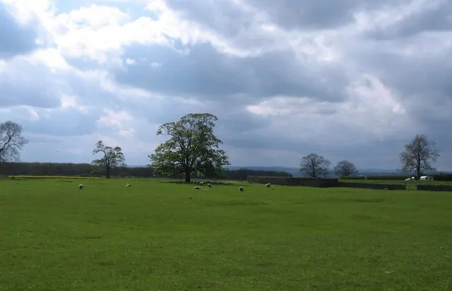
© Gordon Hatton · Geograph · CC BY-SA 2.0
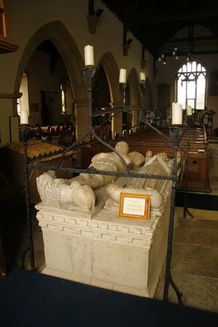
© David Rogers · Geograph · CC BY-SA 2.0
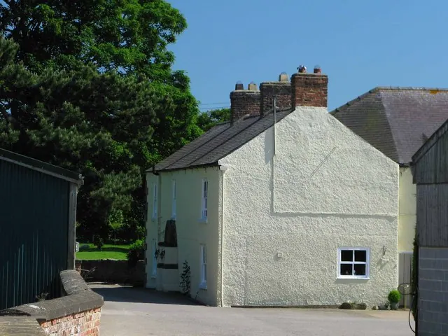
© David Rogers · Geograph · CC BY-SA 2.0
Images © their respective photographers, licensed under CC BY-SA 2.0 and reused here with attribution. Photographs depict listed buildings, churches and monuments near this settlement and may show neighbouring villages.
Location
54.2101°N, -1.5323°W · Land of Count Alan hundred, Yorkshire
View larger map on OpenStreetMap →Data derived from the Open Domesday project (opendomesday.org), based on the Domesday Book dataset compiled by Professor J.J.N. Palmer and team. The Domesday Book (1086) is in the public domain.
Found an inaccuracy? [email protected]