Upsall in the Domesday Book (1086)
Upsall is named in the Domesday Book, compiled by Norman commissioners in 1086, entered under the hundred of Yarlestre in Yorkshire.
Other Settlements in Yarlestre
- Arden [Hall]
- Asenby
- Bagby
- Baxby
- Bergebi
- Berghebi
- Bernebi
- Boltby
- Breckenbrough
- Carlton [Husthwaite]
- Carlton [Miniott]
- Catton
- Coxwold
- Crakehill
The Meaning of the Name
The origin of the name Upsall is not securely established from its modern form alone; like many settlement names in the North it likely combines an Old English or Old Norse personal name with a landscape term.
Remarkably, the name has changed little since 1086, when the Domesday scribes wrote it as Upsall.
Listed Buildings Near Upsall
Historic England records 10 listed buildings within about a mile of Upsall. Listing protects structures of special architectural or historic interest, graded I (exceptional), II* (particularly important) and II.
Grade II
- Garden Walls to South, to West and to North of Kirby Knowle Castle - 0.27 km
- Statue Approximately 10 Metres to West of Kirby Knowle Castle - 0.27 km
- Kirby Knowle Castle - 0.3 km
- Gatehouse to Upsall Castle, to West of Garden Cottage and Wall to Right - 0.41 km
- Garden Cottage and Walls - 0.42 km
- Remains of Castle Walls to South and West of Upsall Castle - 0.55 km
- Castle Farm - 1.01 km
- Group of Font and Two Cross Bases With Shafts Approximately 5 Metres to South West of Porch of Church of St Wilfrid - 1.24 km
- Church of St Wilfrid - 1.24 km
- Knowle House - 1.29 km
Scheduled Monuments Near Upsall
Scheduled monuments are nationally important archaeological sites given legal protection. 3 lie within roughly a mile of Upsall:
- Upsall Castle: a quadrangular castle - 0.53 km
- Round barrow 180m NNE of St Wilfred’s Church - 1.13 km
- Kirby Knowle medieval settlement 220m west and 150m south west of Manor House Farm - 1.22 km
Upsall Today
Today Upsall lies within the administrative area of Hambleton, and the settlement recorded a population of 60 at the 2021 census. Nine and a half centuries separate that figure from the small rural community the Domesday survey recorded here in 1086.
Read more about modern Upsall on Wikipedia .
Nearby Domesday Settlements
Other places recorded in the 1086 survey within a few miles:
- Kirby Knowle - 1.0 km E
- Knayton - 2.0 km W
- Cowesby - 2.2 km NE
- Hundulfthorpe Farm - 2.2 km SW
- Felixkirk - 3.2 km S
- North Kilvington - 3.6 km SW
Heritage Around Upsall
Photographs of churches, listed buildings and monuments in the vicinity, contributed by volunteers to the Geograph project and reused here under a Creative Commons licence.
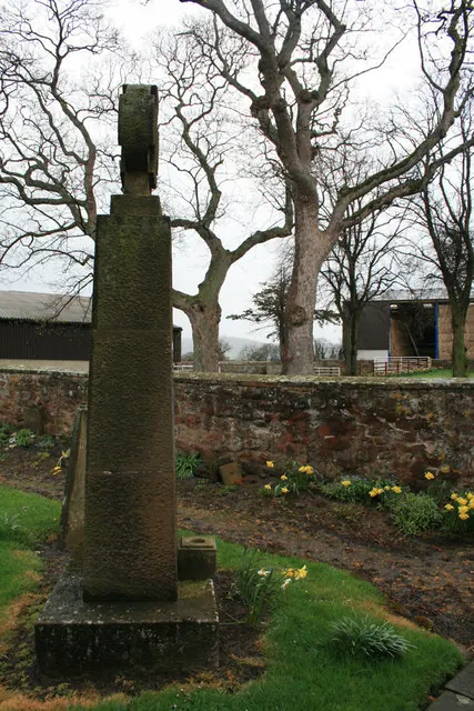
© David Lally · Geograph · CC BY-SA 2.0
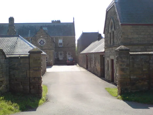
© Frank Glover · Geograph · CC BY-SA 2.0
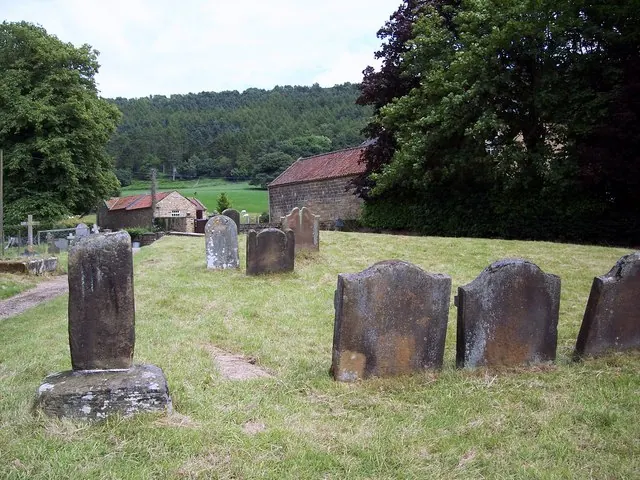
© Maigheach-gheal · Geograph · CC BY-SA 2.0
Images © their respective photographers, licensed under CC BY-SA 2.0 and reused here with attribution. Photographs depict listed buildings, churches and monuments near this settlement and may show neighbouring villages.
Data derived from the Open Domesday project (opendomesday.org), based on the Domesday Book dataset compiled by Professor J.J.N. Palmer and team. The Domesday Book (1086) is in the public domain.
Found an inaccuracy? [email protected]