Upsall Hall in the Domesday Book (1086)
The settlement of Upsall Hall is recorded in William I’s Domesday survey of 1086, entered under the hundred of Langbaurgh in Yorkshire.
Other Settlements in Langbaurgh
- Acklam
- Airy [Holme]
- Aislaby
- Arnodestorp
- Baldebi
- Barnaby
- Barwick
- Battersby
- Bergolbi
- Berguluesbi
- Blaten [Carr]
- Borrowby
- Breck
- Brotton
The Meaning of the Name
The origin of the name Upsall Hall is not securely established from its modern form alone; like many settlement names in the North it likely combines an Old English or Old Norse personal name with a landscape term.
Remarkably, the name has changed little since 1086, when the Domesday scribes wrote it as Upsall Hall.
Listed Buildings Near Upsall Hall
Historic England records 6 listed buildings within about a mile of Upsall Hall. Listing protects structures of special architectural or historic interest, graded I (exceptional), II* (particularly important) and II.
Grade II
- Boundary Stone, Approximately 870 Metres to North of Cross Keys Inn, at Ngr Nz566165 - 0.12 km
- Boundary Stone 1010 Metres to North of Cross Keys Inn, at Ngr Nz566167 - 0.24 km
- Boundary Stone 1060 Metres to North of Cross Keys Inn at Ngr Nz566 167 - 0.31 km
- Boundary Stone 1280 Metres to North of Cross Keys Inn at Ngr Nz565 169 - 0.5 km
- Stables, Barn, Loose Boxes and Byre, 20 Metres North of Mill Farmhouse - 0.57 km
- Mill Farmhouse - 0.59 km
Scheduled Monuments Near Upsall Hall
Scheduled monuments are nationally important archaeological sites given legal protection. 6 lie within roughly a mile of Upsall Hall:
- Round barrow on Upsall Moor known as Mount Pleasant - 0.78 km
- Ring cairn, on Eston Moor 1.3 km north of Mill Farm - 0.91 km
- Bowl barrow on Eston Moor, 1.45km west of High Barnaby Farm - 0.93 km
- Bowl barrow on Eston Moor, 1.4km north-west of High Barnaby Farm - 1.45 km
- Bowl barrow on Eston Moor, 1.2km north-west of High Barnaby Farm - 1.55 km
- Bowl barrow on Eston Moor, 1.2km north-west of High Barnaby Farm - 1.57 km
Upsall Hall Today
Today Upsall Hall lies within the administrative area of Guisborough.
Nearby Domesday Settlements
Other places recorded in the 1086 survey within a few miles:
- Barnaby - 1.0 km E
- Morton Grange - 2.2 km SW
- Eston - 2.2 km NW
- Pinchinthorpe Hall - 2.2 km SE
- Normanby - 2.8 km NW
- Ormesby - 3.0 km W
Heritage Around Upsall [Hall]
Photographs of churches, listed buildings and monuments in the vicinity, contributed by volunteers to the Geograph project and reused here under a Creative Commons licence.
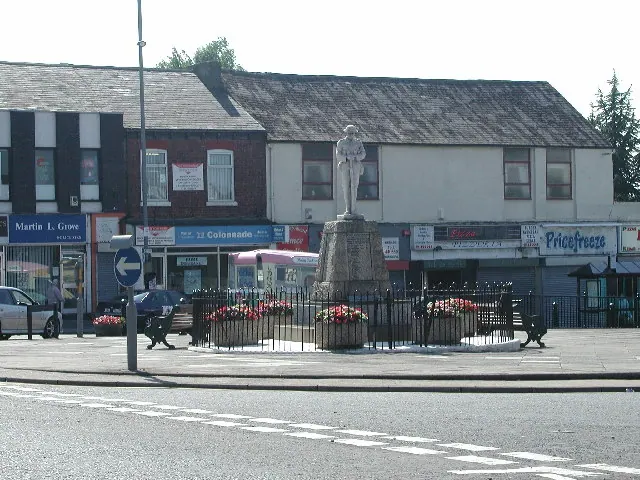
© Rob Pollard · Geograph · CC BY-SA 2.0
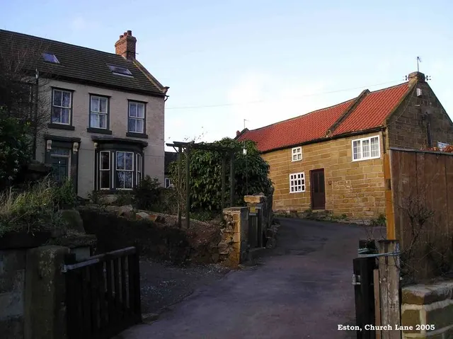
© Mike Guess · Geograph · CC BY-SA 2.0
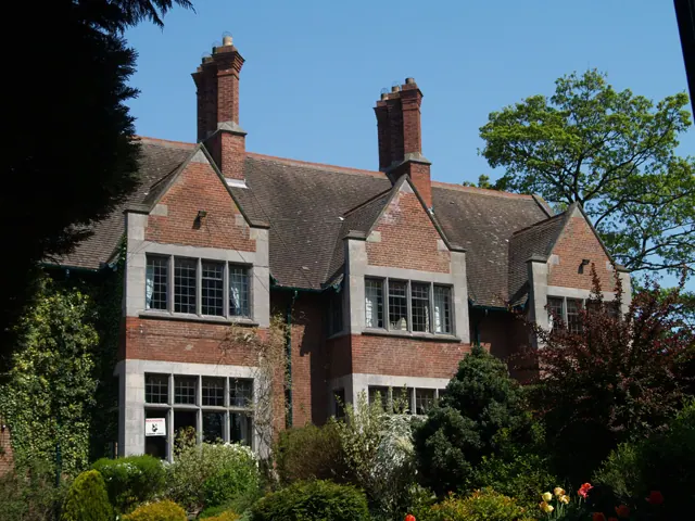
© Mike Guess · Geograph · CC BY-SA 2.0
Images © their respective photographers, licensed under CC BY-SA 2.0 and reused here with attribution. Photographs depict listed buildings, churches and monuments near this settlement and may show neighbouring villages.
Data derived from the Open Domesday project (opendomesday.org), based on the Domesday Book dataset compiled by Professor J.J.N. Palmer and team. The Domesday Book (1086) is in the public domain.
Found an inaccuracy? [email protected]