Upperthong in the Domesday Book (1086)
The 1086 Domesday survey records the settlement of Upperthong, entered under the hundred of Agbrigg in Yorkshire.
Other Settlements in Agbrigg
- Ackton
- Almondbury
- Austonley
- Bradley
- Cartworth
- Crigglestone
- Crofton
- Dalton
- Emley
- Farnley [Tyas]
- Flockton
- Fulstone
- Golcar
- Hepworth
The Meaning of the Name
The origin of the name Upperthong is not securely established from its modern form alone; like many settlement names in the North it likely combines an Old English or Old Norse personal name with a landscape term.
Remarkably, the name has changed little since 1086, when the Domesday scribes wrote it as Upperthong.
Listed Buildings Near Upperthong
Historic England records 42 listed buildings within about a mile of Upperthong. Listing protects structures of special architectural or historic interest, graded I (exceptional), II* (particularly important) and II.
Grade II
- 2, Wickins Lane - 0.12 km
- 39,41, Town Gate - 0.16 km
- Former Sunday School - 0.17 km
- 36,36A, Town Gate - 0.2 km
- Upper Wickens - 0.23 km
- Lower Wickens Farmhouse - 0.28 km
- Newlands - 0.3 km
- 12 Town Gate - 0.31 km
- 3, Town Gate - 0.32 km
- 8, Town Gate - 0.32 km
- 1, Town Gate - 0.34 km
- New Close Farmhouse - 0.34 km
- 1 Mile Post - 0.46 km
- Hillock - 0.5 km
- Carr Farmhouse - 0.51 km
- Lip Hill Farmhouse and Adjoining Dwelling - 0.53 km
- Broad Lane Farmhouse - 0.54 km
- Royd Top - 0.59 km
- Part of Farm Terrace on Lip Hill Lane (Track) - 0.62 km
- Wolfstones Heights (House and Barn) - 0.66 km
- Booth House - 0.71 km
- 1,2,3,4, Carr Lane - 0.79 km
- Booth House - 0.8 km
- Brownhill Farmhouse (Cottage to Right of Main House Off Moor Lane) - 0.88 km
…and 18 more listed structures in the area.
Upperthong Today
Today Upperthong lies within the administrative area of Holme Valley, and the settlement recorded a population of 1,938 at recent figures. Nine and a half centuries separate that figure from the small rural community the Domesday survey recorded here in 1086.
Read more about modern Upperthong on Wikipedia .
Nearby Domesday Settlements
Other places recorded in the 1086 survey within a few miles:
Heritage Around [Upper]thong
Photographs of churches, listed buildings and monuments in the vicinity, contributed by volunteers to the Geograph project and reused here under a Creative Commons licence.
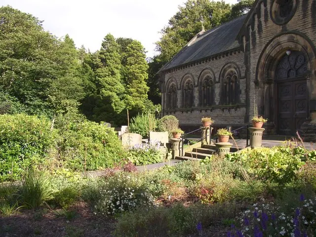
© Humphrey Bolton · Geograph · CC BY-SA 2.0
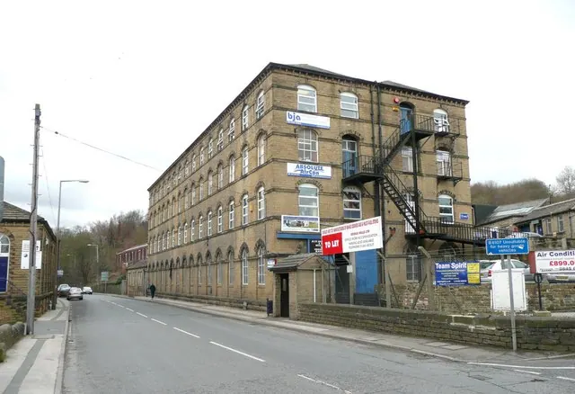
© Humphrey Bolton · Geograph · CC BY-SA 2.0
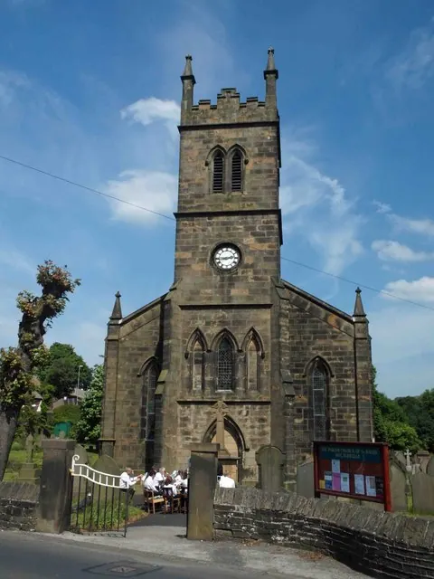
© Steve Fareham · Geograph · CC BY-SA 2.0
Images © their respective photographers, licensed under CC BY-SA 2.0 and reused here with attribution. Photographs depict listed buildings, churches and monuments near this settlement and may show neighbouring villages.
Data derived from the Open Domesday project (opendomesday.org), based on the Domesday Book dataset compiled by Professor J.J.N. Palmer and team. The Domesday Book (1086) is in the public domain.
Found an inaccuracy? [email protected]