Upper Poppleton in the Domesday Book (1086)
The 1086 Domesday survey records the settlement of Upper Poppleton, entered under the hundred of Ainsty in Yorkshire. The survey assessed Upper Poppleton at 7 carucates of taxable land.
At the time of the survey, Upper Poppleton supported a recorded population of 10 villagers, 7 smallholders, 3 slaves, working 6 ploughs between them.
The survey records Upper Poppleton’s value at 7 shillings in 1086. No pre-Conquest figure survives – not unusual in the North, where records were disrupted by the Harrying and by the patchy coverage of the survey.
Resources Recorded at Upper Poppleton (1086)
- Mills: 1 mill (valued at 15d)
- Cattle: 9
- Pigs: 23
- Sheep: 100
- Horses (cobs): 1
- Meadow: 12 acres
- Woodland: 4 * 2 furlongs
Other Settlements in Ainsty
- Acaster [Malbis]
- Acaster [Selby]
- Acomb
- Appleton [Roebuck]
- Askham [Bryan]
- Askham [Richard]
- Bickerton
- Bilbrough
- Bilton
- Bishopthorpe
- Bithen
- Bolton [Percy]
- Catterton
- Colton
The Meaning of the Name
The name Upper Poppleton is of Anglo-Saxon origin. Its final element derives from the Old English word tūn, a farmstead or village. The first element is most likely a personal name or an early descriptive term, now difficult to recover with certainty. Taken together the name probably meant something close to ‘a farmstead’.
Remarkably, the name has changed little since 1086, when the Domesday scribes wrote it as Upper Poppleton.
Listed Buildings Near Upper Poppleton
Historic England records 24 listed buildings within about a mile of Upper Poppleton. Listing protects structures of special architectural or historic interest, graded I (exceptional), II* (particularly important) and II.
Grade II*
- Church of Saint Everilda - 1.02 km
Grade II
- Upper Poppleton War Memorial - 0.38 km
- Model Farmhouse and Barn and Railings - 0.41 km
- Green View - 0.42 km
- Church of All Saints - 0.43 km
- Manor Farmhouse and Gates and Railings - 0.46 km
- Beechwood House and Gates and Railings - 0.48 km
- Russet House - 0.49 km
- Poppleton House - 0.55 km
- Orchard House - 0.58 km
- Hall Garth - 0.59 km
- Bankside - 0.61 km
- 1, Main Street - 0.61 km
- 20, Main Street - 0.61 km
- Kilburn House - 0.63 km
- Priory House and Gates and Railings - 0.64 km
- School House - 0.65 km
- Gazebo 50 Metres to North of the Fox Inn - 0.72 km
- Barn to South of Greystone - 0.89 km
- Greystone and Attached Barn and Railings and Gates - 0.9 km
- Garage at Manor Farm - 0.97 km
- Barn at Manor Farm - 0.97 km
- Manor Farmhouse and Gate and Railings - 0.99 km
- Overton Cross - 1.23 km
Scheduled Monuments Near Upper Poppleton
Scheduled monuments are nationally important archaeological sites given legal protection. 1 lies within roughly a mile of Upper Poppleton:
Upper Poppleton Today
Today Upper Poppleton lies within the administrative area of City of York, and the settlement recorded a population of 2,081 at the 2021 census. Nine and a half centuries separate that figure from the small rural community the Domesday survey recorded here in 1086.
Read more about modern Upper Poppleton on Wikipedia .
Nearby Domesday Settlements
Other places recorded in the 1086 survey within a few miles:
- Mortun - 1.0 km N
- Overton - 1.0 km N
- Nether Poppleton - 1.4 km NE
- Scagglethorpe - 1.4 km NW
- Skelton - 2.2 km NE
- Knapton - 2.2 km SE
Heritage Around [Upper] Poppleton
Photographs of churches, listed buildings and monuments in the vicinity, contributed by volunteers to the Geograph project and reused here under a Creative Commons licence.
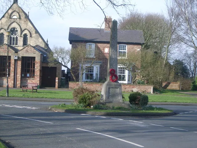
© Nick Mutton 01329 000000 · Geograph · CC BY-SA 2.0
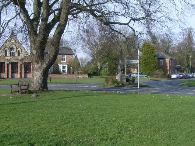
© Nick Mutton 01329 000000 · Geograph · CC BY-SA 2.0
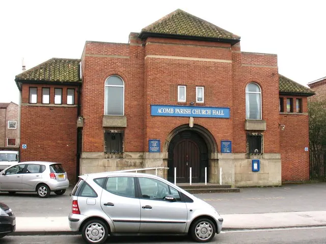
© Gordon Hatton · Geograph · CC BY-SA 2.0
Images © their respective photographers, licensed under CC BY-SA 2.0 and reused here with attribution. Photographs depict listed buildings, churches and monuments near this settlement and may show neighbouring villages.
Data derived from the Open Domesday project (opendomesday.org), based on the Domesday Book dataset compiled by Professor J.J.N. Palmer and team. The Domesday Book (1086) is in the public domain.
Found an inaccuracy? [email protected]