Upper Hopton in the Domesday Book (1086)
The 1086 Domesday survey records the settlement of Upper Hopton, entered under the hundred of Agbrigg in Yorkshire. The survey assessed Upper Hopton at 4 carucates of taxable land.
At the time of the survey, Upper Hopton supported a recorded population of 3 slaves, working 1 plough between them.
The survey records Upper Hopton’s value at 2.5 shillings in 1086. No pre-Conquest figure survives – not unusual in the North, where records were disrupted by the Harrying and by the patchy coverage of the survey.
Resources Recorded at Upper Hopton (1086)
- Meadow: 24 acres
- Woodland: 6 acres
Other Settlements in Agbrigg
- Ackton
- Almondbury
- Austonley
- Bradley
- Cartworth
- Crigglestone
- Crofton
- Dalton
- Emley
- Farnley [Tyas]
- Flockton
- Fulstone
- Golcar
- Hepworth
The Meaning of the Name
The name Upper Hopton is of Anglo-Saxon origin. Its final element derives from the Old English word tūn, a farmstead or village. The first element is most likely a personal name or an early descriptive term, now difficult to recover with certainty. Taken together the name probably meant something close to ‘a farmstead’.
Remarkably, the name has changed little since 1086, when the Domesday scribes wrote it as Upper Hopton.
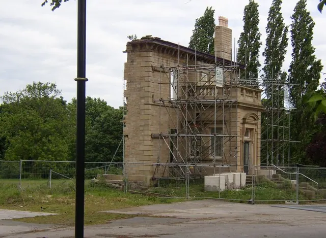
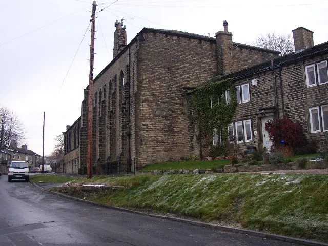
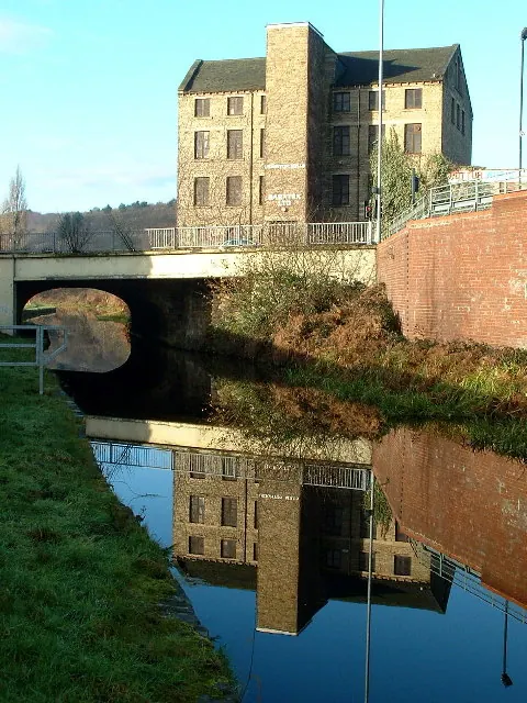
Listed Buildings Near Upper Hopton
Historic England records 9 listed buildings within about a mile of Upper Hopton. Listing protects structures of special architectural or historic interest, graded I (exceptional), II* (particularly important) and II.
Grade II*
- Hopton Congregational Church - 0.91 km
Grade II
- Hopton Hall - 0.07 km
- Main Barn to Hall Farm - 0.1 km
- Church of St John - 0.13 km
- Numbers 126, 124 and Adjoining Barn - 0.4 km
- 22-34, North Gate - 0.75 km
- Old Milepost at Junction With Hollin Hall Lane - 1.07 km
- Ledgard Bridge (Over River Calder) - 1.16 km
- Railway Bridge Over River Calder (Mirfield Cooper Bridge Line) - 1.21 km
Upper Hopton Today
Today Upper Hopton lies within the administrative area of Mirfield.
Nearby Domesday Settlements
Other places recorded in the 1086 survey within a few miles:
- Kirkheaton - 1.4 km SW
- Mirfield - 2.2 km NE
- Dalton - 2.8 km SW
- Bradley - 2.8 km NW
- Lower Whitley - 3.2 km E
- Lepton - 3.2 km S
Heritage Around [Upper] Hopton
Photographs of churches, listed buildings and monuments in the vicinity, contributed by volunteers to the Geograph project and reused here under a Creative Commons licence.
© Humphrey Bolton · Geograph · CC BY-SA 2.0
© Humphrey Bolton · Geograph · CC BY-SA 2.0
© Nigel Homer · Geograph · CC BY-SA 2.0
Images © their respective photographers, licensed under CC BY-SA 2.0 and reused here with attribution. Photographs depict listed buildings, churches and monuments near this settlement and may show neighbouring villages.
Data derived from the Open Domesday project (opendomesday.org), based on the Domesday Book dataset compiled by Professor J.J.N. Palmer and team. The Domesday Book (1086) is in the public domain.
Found an inaccuracy? [email protected]