Upper Cumberworth in the Domesday Book (1086)
Upper Cumberworth is named in the Domesday Book, compiled by Norman commissioners in 1086, entered under the hundred of Staincross in Yorkshire.
Other Settlements in Staincross
- Adlingfleet
- Barnby [Hall]
- Barnsley
- Barugh
- Brierley
- Carlton
- Cawthorne
- Chevet
- Clactone
- Clayton [West]
- Darton
- Dodworth
- Hemsworth
- Hoyland [Swaine]
The Meaning of the Name
The name Upper Cumberworth is of Anglo-Saxon origin. Its final element derives from the Old English word worð, an enclosure or homestead. The first element is most likely a personal name or an early descriptive term, now difficult to recover with certainty. Taken together the name probably meant something close to ‘a enclosure’.
Remarkably, the name has changed little since 1086, when the Domesday scribes wrote it as Upper Cumberworth.
Listed Buildings Near Upper Cumberworth
Historic England records 22 listed buildings within about a mile of Upper Cumberworth. Listing protects structures of special architectural or historic interest, graded I (exceptional), II* (particularly important) and II.
Grade II
- Cross Base 5 Yards (Approximately) to South of Church of St Nicholas - 0.59 km
- Milestone Approximately 300 Yards East of Junction With Barnsley - 0.6 km
- Church of St Nicholas - 0.6 km
- Stocks 3 Yards South of Porch of Church of St Nicholas - 0.6 km
- Adjoining Barn - 0.61 km
- Lane Side House to East of Group - 0.63 km
- 31, Cumberworth Lane - 0.63 km
- Church of England School - 0.68 km
- 3 Storey Mill Building at Hartcliffe Mills Immediately East Reservoir - 0.71 km
- Denby Dale Railway Viaduct - 0.85 km
- 31, Carr Hill Road - 0.98 km
- Milestone at Base of Viaduct - 1.05 km
- Broomhill - 1.06 km
- Low House Farmhouse - 1.06 km
- Friends Meeting House - 1.07 km
- Green Hollows - 1.08 km
- Braggs Farmhouse - 1.09 km
- 4 AND 6, LOW FOLD (See details for further address information) - 1.14 km
- Low House - 1.15 km
- Denby Dale Wesleyan Methodist Church - 1.19 km
- Withywood Hall - 1.2 km
- Milestone in Garden of Salt Pie - 1.3 km
Upper Cumberworth Today
Today Upper Cumberworth lies within the administrative area of Denby Dale, and the settlement recorded a population of 1,122 at recent figures. Nine and a half centuries separate that figure from the small rural community the Domesday survey recorded here in 1086.
Read more about modern Upper Cumberworth on Wikipedia .
Nearby Domesday Settlements
Other places recorded in the 1086 survey within a few miles:
- Lower Cumberworth - 1.4 km NE
- Lower and Upper Denby - 1.4 km SE
- Shepley - 2.2 km NW
- Skelmanthorpe - 2.8 km NE
- Shelley - 3.2 km N
- Ingbirchworth - 3.2 km S
Heritage Around [Upper] Cumberworth
Photographs of churches, listed buildings and monuments in the vicinity, contributed by volunteers to the Geograph project and reused here under a Creative Commons licence.
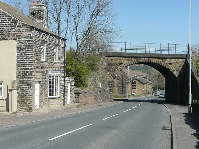
© Humphrey Bolton · Geograph · CC BY-SA 2.0
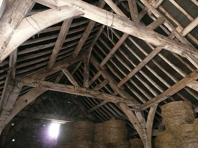
© Wendy North · Geograph · CC BY-SA 2.0
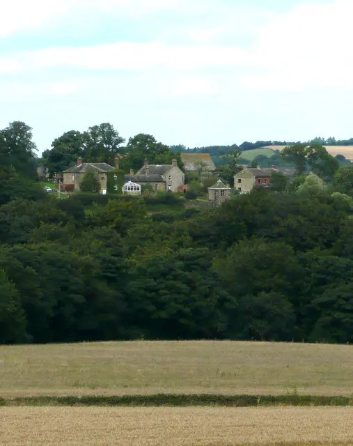
© Wendy North · Geograph · CC BY-SA 2.0
Images © their respective photographers, licensed under CC BY-SA 2.0 and reused here with attribution. Photographs depict listed buildings, churches and monuments near this settlement and may show neighbouring villages.
Data derived from the Open Domesday project (opendomesday.org), based on the Domesday Book dataset compiled by Professor J.J.N. Palmer and team. The Domesday Book (1086) is in the public domain.
Found an inaccuracy? [email protected]