Ulverston in the Domesday Book (1086)
Ulverston is named in the Domesday Book, compiled by Norman commissioners in 1086, entered under the hundred of Amounderness in Yorkshire.
Other Settlements in Amounderness
- Aighton
- Aldcliffe
- Aldingham
- Arkholme
- Aschebi
- Ashton [Hall]
- Ashton [on Ribble]
- Austwick
- Barbon
- Bardsea
- Bare
- Barnoldswick
- Barton
- Beetham
The Meaning of the Name
The name Ulverston is of Anglo-Saxon origin. Its final element derives from the Old English word tūn, a farmstead or village. The first element is most likely a personal name or an early descriptive term, now difficult to recover with certainty. Taken together the name probably meant something close to ‘a farmstead’.
Remarkably, the name has changed little since 1086, when the Domesday scribes wrote it as Ulverston.
Listed Buildings Near Ulverston
Historic England records 140 listed buildings within about a mile of Ulverston. Listing protects structures of special architectural or historic interest, graded I (exceptional), II* (particularly important) and II.
Grade II
- The Mill Public House - 0.01 km
- Victoria Concert Hall (Now Premises of Emanuel Christian Centre and Shop) - 0.01 km
- 31, King Street - 0.02 km
- Queens Hotel - 0.02 km
- 27 and 29, King Street - 0.03 km
- 21, King Street - 0.04 km
- 23, King Street - 0.04 km
- 25, King Street - 0.04 km
- 17, King Street - 0.05 km
- 19, King Street - 0.05 km
- 20, King Street - 0.05 km
- Rose and Crown Public House - 0.05 km
- Church Walk House and Attached Wall and Railings - 0.06 km
- 11, King Street - 0.06 km
- 13 and 15, King Street - 0.06 km
- 22 and 24, Soutergate - 0.07 km
- 9, King Street - 0.07 km
- 26 and 26A, Soutergate - 0.08 km
- 7, King Street - 0.08 km
- Number 28 Including Wall and Railings - 0.09 km
- Number 30 and Attached Railings - 0.09 km
- 7, Fountain Street - 0.09 km
- Number 32 and Attached Railings - 0.1 km
- 9 and 11, Fountain Street - 0.1 km
…and 116 more listed structures in the area.
Ulverston Today
Today Ulverston lies within the administrative area of Westmorland and Furness, and the settlement recorded a population of 11,822 at the 2021 census. Nine and a half centuries separate that figure from the small rural community the Domesday survey recorded here in 1086.
Read more about modern Ulverston on Wikipedia .
Nearby Domesday Settlements
Other places recorded in the 1086 survey within a few miles:
- Pennington - 2.2 km SW
- Martin - 4.1 km W
- Bardsea - 4.5 km SE
- Orgrave - 5.8 km SW
- Kirkby Ireleth - 6.4 km NW
- Dalton in Furness - 6.4 km SW
Heritage Around Ulverston
Photographs of churches, listed buildings and monuments in the vicinity, contributed by volunteers to the Geograph project and reused here under a Creative Commons licence.
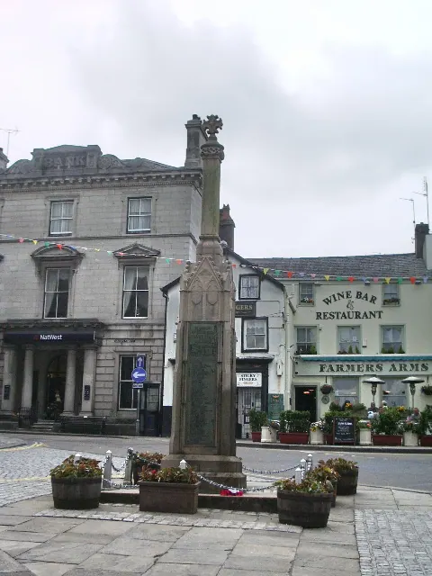
© Alexander P Kapp · Geograph · CC BY-SA 2.0
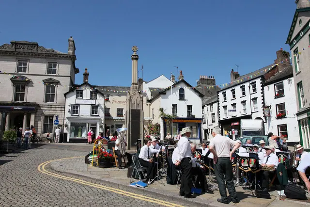
© Andrew Whale · Geograph · CC BY-SA 2.0
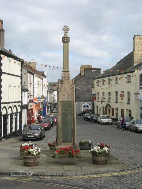
© Gerald Massey · Geograph · CC BY-SA 2.0
Images © their respective photographers, licensed under CC BY-SA 2.0 and reused here with attribution. Photographs depict listed buildings, churches and monuments near this settlement and may show neighbouring villages.
Data derived from the Open Domesday project (opendomesday.org), based on the Domesday Book dataset compiled by Professor J.J.N. Palmer and team. The Domesday Book (1086) is in the public domain.
Found an inaccuracy? [email protected]