Ugglebarnby in the Domesday Book (1086)
The 1086 Domesday survey records the settlement of Ugglebarnby, entered under the hundred of Langbaurgh in Yorkshire.
Other Settlements in Langbaurgh
- Acklam
- Airy [Holme]
- Aislaby
- Arnodestorp
- Baldebi
- Barnaby
- Barwick
- Battersby
- Bergolbi
- Berguluesbi
- Blaten [Carr]
- Borrowby
- Breck
- Brotton
The Meaning of the Name
The name Ugglebarnby is of Scandinavian origin. Its final element derives from the Old Norse word bý, a farmstead or village. The first element is most likely a personal name or an early descriptive term, now difficult to recover with certainty. Taken together the name probably meant something close to ‘a farmstead’.
Names of this type are a fingerprint of Scandinavian settlement: they cluster across the old Danelaw, where Norse-speaking settlers renamed or founded villages from the late 9th century onward.
Remarkably, the name has changed little since 1086, when the Domesday scribes wrote it as Ugglebarnby.
Listed Buildings Near Ugglebarnby
Historic England records 26 listed buildings within about a mile of Ugglebarnby. Listing protects structures of special architectural or historic interest, graded I (exceptional), II* (particularly important) and II.
Grade II
- Tinkler Hall - 0.31 km
- Lowdale Hall - 0.44 km
- Rosedale Cottage - 0.49 km
- Church of All Saints - 0.5 km
- Rose Cottage and Attached Outbuilding - 0.54 km
- Carr View Hall - 0.93 km
- The Old Vicarage - 0.94 km
- Garden Wall and Gate Piers Approximately 6 Metres West of the Old Vicarage - 0.95 km
- Midge Hall - 0.97 km
- Farmbuildings Approximately 7 Metres East of Howlet Hall Farmhouse - 0.97 km
- Farmbuildings Approximately 15 Metres South East of Howlet Hall Farmhouse - 0.98 km
- Howlet Hall - 0.98 km
- Garden Wall and Gate Piers Approximately 8 Metres South of Carr End Farmhouse - 1.0 km
- The Salon - 1.01 km
- Esk House and Attached Outbuilding - 1.01 km
- Carr End Farmhouse and Attached Carriage Shed - 1.01 km
- 2, Coach Road - 1.03 km
- Milepost Approximately 10 Metres West of Number 137 - 1.04 km
- Field House - 1.09 km
- Esk Hall - 1.09 km
- Church of St John the Evangelist - 1.09 km
- Eslet House Fernlea - 1.1 km
- Coates Monument in North West Corner of Churchyard of St John the Evangelist - 1.13 km
- Gate Piers and Part of Churchyard Wall to Church of St John the Evangelist - 1.14 km
…and 2 more listed structures in the area.
Ugglebarnby Today
Today Ugglebarnby lies within the administrative area of Eskdaleside cum Ugglebarnby.
Nearby Domesday Settlements
Other places recorded in the 1086 survey within a few miles:
- Eskdaleside - 1.0 km W
- Sneaton - 2.0 km E
- Aislaby - 2.2 km NW
- High Stakesby - 3.2 km N
- Newholm - 3.2 km N
- Flowergate - 4.5 km NE
Heritage Around Ugglebarnby
Photographs of churches, listed buildings and monuments in the vicinity, contributed by volunteers to the Geograph project and reused here under a Creative Commons licence.
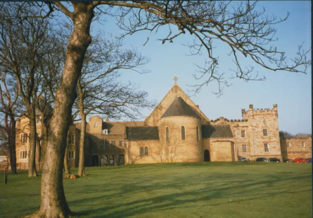
© Stephen Craven · Geograph · CC BY-SA 2.0
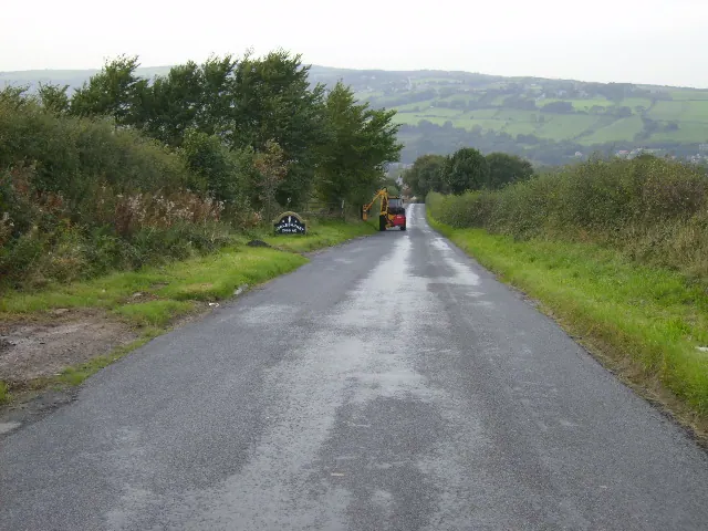
© Phil Catterall · Geograph · CC BY-SA 2.0
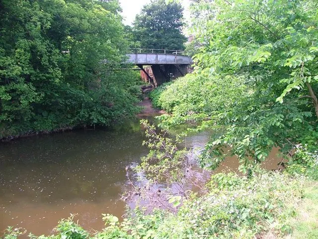
© Mick Garratt · Geograph · CC BY-SA 2.0
Images © their respective photographers, licensed under CC BY-SA 2.0 and reused here with attribution. Photographs depict listed buildings, churches and monuments near this settlement and may show neighbouring villages.
Data derived from the Open Domesday project (opendomesday.org), based on the Domesday Book dataset compiled by Professor J.J.N. Palmer and team. The Domesday Book (1086) is in the public domain.
Found an inaccuracy? [email protected]