Twyford in the Domesday Book (1086)
The 1086 Domesday survey records the settlement of Twyford, entered under the hundred of Litchurch in Derbyshire.
Other Settlements in Litchurch
- Allestree
- Alvaston
- Ambaston
- Arleston
- Aston [-on-Trent]
- Barrow [-upon-Trent]
- Bearwardcote
- Boulton
- Burnaston
- Chellaston
- Cottons
- Dalbury
- Egginton
- Elvaston
The Meaning of the Name
The name Twyford is of Anglo-Saxon origin. Its final element derives from the Old English word ford, a river crossing. The first element is most likely a personal name or an early descriptive term, now difficult to recover with certainty. Taken together the name probably meant something close to ‘a ford’.
Remarkably, the name has changed little since 1086, when the Domesday scribes wrote it as Twyford.
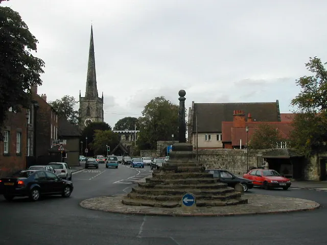
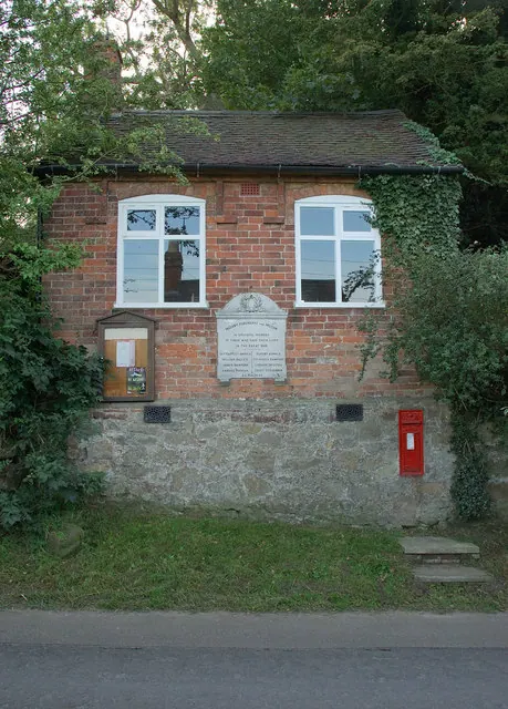
Listed Buildings Near Twyford
Historic England records 8 listed buildings within about a mile of Twyford. Listing protects structures of special architectural or historic interest, graded I (exceptional), II* (particularly important) and II.
Grade I
- Church of St Andrew - 0.17 km
Grade II*
- Old Hall Cottage - 0.56 km
Grade II
- Grange Farmhouse - 0.11 km
- Wall and Attached Outbuilding South of Twyford Church - 0.11 km
- Range of Outbuildings to North of Twyford Hall - 0.17 km
- Twyford Hall - 0.18 km
- The Old School House - 0.36 km
- Old Hall Farmhouse - 0.56 km
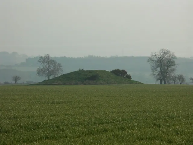
Scheduled Monuments Near Twyford
Scheduled monuments are nationally important archaeological sites given legal protection. 2 lie within roughly a mile of Twyford:
- Twyford henge and Round Hill bowl barrow - 0.74 km
- Cursus and mini henges, of Neolithic date, round barrows of Neolithic/Early Bronze Age date, and settlements, enclosures and fields of late Iron Age/Romano-British date, immediately East of Willington either side of the A5132 - 1.27 km
Twyford Today
Today Twyford lies within the administrative area of Twyford and Stenson.
Nearby Domesday Settlements
Other places recorded in the 1086 survey within a few miles:
Heritage Around Twyford
Photographs of churches, listed buildings and monuments in the vicinity, contributed by volunteers to the Geograph project and reused here under a Creative Commons licence.
© Peter Shone · Geograph · CC BY-SA 2.0
© Phil Myott · Geograph · CC BY-SA 2.0
© Jerry Evans · Geograph · CC BY-SA 2.0
Images © their respective photographers, licensed under CC BY-SA 2.0 and reused here with attribution. Photographs depict listed buildings, churches and monuments near this settlement and may show neighbouring villages.
Data derived from the Open Domesday project (opendomesday.org), based on the Domesday Book dataset compiled by Professor J.J.N. Palmer and team. The Domesday Book (1086) is in the public domain.
Found an inaccuracy? [email protected]