Tushingham in the Domesday Book (1086)
The 1086 Domesday survey records the settlement of Tushingham, entered under the hundred of Duddeston in Cheshire.
Other Settlements in Duddeston
- Bettisfield
- Bickerton
- Bickley
- Boughton
- Broxton
- Burwardestone
- Burwardsley and [Higher] Burwardsley
- Caldecott
- Calvintone
- Cheaveley
- Cholmondeley
- Chowley
- Christleton
- Clutton
The Meaning of the Name
The name Tushingham is of Anglo-Saxon origin. Its final element derives from the Old English word hām, a homestead or village. The first element is most likely a personal name or an early descriptive term, now difficult to recover with certainty. Taken together the name probably meant something close to ‘a homestead’.
Remarkably, the name has changed little since 1086, when the Domesday scribes wrote it as Tushingham.
Listed Buildings Near Tushingham
Historic England records 8 listed buildings within about a mile of Tushingham. Listing protects structures of special architectural or historic interest, graded I (exceptional), II* (particularly important) and II.
Grade I
- Chapel of St Chad - 0.24 km
Grade II
- Hearse House in the Grounds of St Chad’s Chapel - 0.22 km
- Barhill Farmhouse - 0.27 km
- Church of St Chad - 0.36 km
- Pearl Farmhouse - 0.59 km
- The Blue Bell Inn - 1.08 km
- Bell Farmhouse - 1.12 km
- Yew Tree Farmhouse - 1.13 km
Tushingham Today
Today Tushingham lies within the administrative area of Tushingham cum Grindley.
Read more about modern Tushingham on Wikipedia .
Nearby Domesday Settlements
Other places recorded in the 1086 survey within a few miles:
Heritage Around Tushingham
Photographs of churches, listed buildings and monuments in the vicinity, contributed by volunteers to the Geograph project and reused here under a Creative Commons licence.
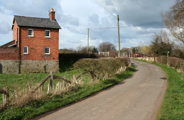
© Espresso Addict · Geograph · CC BY-SA 2.0
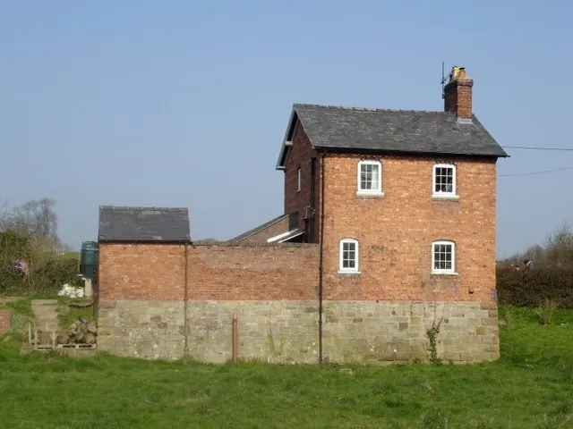
© Mike Harris · Geograph · CC BY-SA 2.0
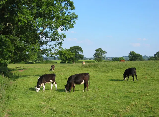
© Espresso Addict · Geograph · CC BY-SA 2.0
Images © their respective photographers, licensed under CC BY-SA 2.0 and reused here with attribution. Photographs depict listed buildings, churches and monuments near this settlement and may show neighbouring villages.
Data derived from the Open Domesday project (opendomesday.org), based on the Domesday Book dataset compiled by Professor J.J.N. Palmer and team. The Domesday Book (1086) is in the public domain.
Found an inaccuracy? [email protected]