Tunstall in the Domesday Book (1086)
Tunstall is named in the Domesday Book, compiled by Norman commissioners in 1086, entered under the hundred of Amounderness in Yorkshire. The survey assessed Tunstall at 21 carucates of taxable land.
At the time of the survey, Tunstall supported a recorded population of 16 villagers, 3 smallholders, 2 freemanmen, working 6 ploughs between them.
Something went badly wrong here between the two surveys. Before 1066, Tunstall was worth 4 shillings; by 1086 that had dropped to 3 shillings – a fall of 25%. Most Yorkshire villages that lost value on this scale were swept up in the Harrying of the North – William’s scorched-earth campaign of 1069–70.
1 of 3 manors within Tunstall are recorded as waste in 1086, with the remainder still productive. This partial devastation suggests the settlement was caught in the path of the Harrying of the North but not entirely destroyed - or that recovery had begun in some holdings by the time of the survey.
The survey lists 3 manors at Tunstall under different lords. Splitting a single settlement between multiple tenants was common across the North – Saxon estates broken up and handed to William’s followers after 1066.
Resources Recorded at Tunstall (1086)
- Mills: 2 mills (valued at 1.05 shillings)
- Churches: 1
- Meadow: 20 None
- Woodland: 1.5 * 0.5 None
Other Settlements in Amounderness
- Aighton
- Aldcliffe
- Aldingham
- Arkholme
- Aschebi
- Ashton [Hall]
- Ashton [on Ribble]
- Austwick
- Barbon
- Bardsea
- Bare
- Barnoldswick
- Barton
- Beetham
The Meaning of the Name
The origin of the name Tunstall is not securely established from its modern form alone; like many settlement names in the North it likely combines an Old English or Old Norse personal name with a landscape term.
Remarkably, the name has changed little since 1086, when the Domesday scribes wrote it as Tunstall.
Listed Buildings Near Tunstall
Historic England records 19 listed buildings within about a mile of Tunstall. Listing protects structures of special architectural or historic interest, graded I (exceptional), II* (particularly important) and II.
Grade I
- Church of St John the Baptist - 0.93 km
Grade II*
- Thurland Castle - 0.64 km
Grade II
- Gabriel Cottage - 0.13 km
- Tarnwater - 0.15 km
- Tunstall Hall Farmhouse - 0.18 km
- Boundary Stone - 0.25 km
- The Old Vicarage - 0.32 km
- Milestone - 0.34 km
- Lodge to Thurland Castle - 0.52 km
- Old School House - 0.57 km
- Perimeter Wall on West Side of Thurland Castle, With Buildings of Stable Court - 0.59 km
- Retaining Wall to Inner Courtyard at Thurland Castle, With Tower Base Adjoining on South-west Side - 0.61 km
- Bridge Over Moat at Thurland Castle, With Entrance Gateway - 0.63 km
- Retaining Wall to Terrace on North and East Sides of Thurland Castle, With Wall From House to Entrance Gateway - 0.63 km
- Sundial on Terrace South of Thurland Castle - 0.64 km
- Sundial Base South of Church of St John the Baptist - 0.92 km
- Greta Bridge - 0.96 km
- Boundary Stone - 1.1 km
- Higher Broomfield Farmhouse - 1.19 km
Tunstall Today
Today Tunstall lies within the administrative area of Lancaster, and the settlement recorded a population of 130 at the 2021 census. Nine and a half centuries separate that figure from the small rural community the Domesday survey recorded here in 1086.
Read more about modern Tunstall on Wikipedia .
Nearby Domesday Settlements
Other places recorded in the 1086 survey within a few miles:
- Newton - 1.4 km NW
- Cantsfield - 2.2 km SE
- Arkholme - 2.2 km SW
- Melling - 2.2 km SW
- Whittington - 3.0 km N
- Wennington - 3.2 km S
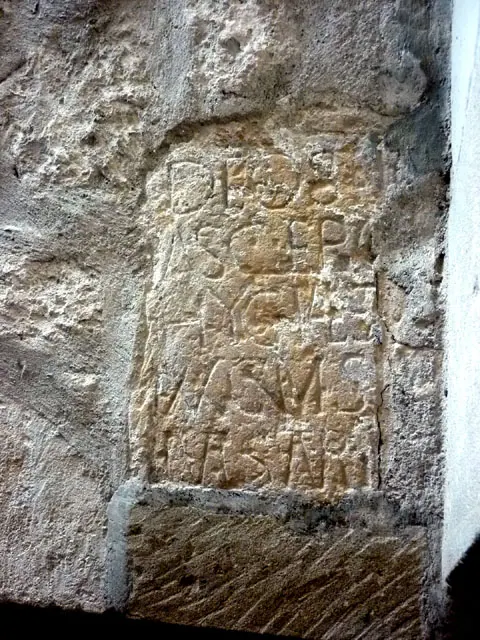
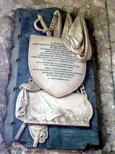
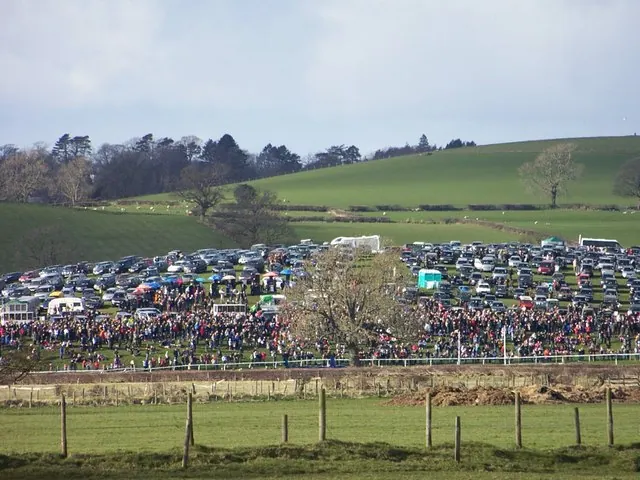
Heritage Around Tunstall
Photographs of churches, listed buildings and monuments in the vicinity, contributed by volunteers to the Geograph project and reused here under a Creative Commons licence.
© Karl and Ali · Geograph · CC BY-SA 2.0
© Karl and Ali · Geograph · CC BY-SA 2.0
© William Bartlett · Geograph · CC BY-SA 2.0
Images © their respective photographers, licensed under CC BY-SA 2.0 and reused here with attribution. Photographs depict listed buildings, churches and monuments near this settlement and may show neighbouring villages.
Data derived from the Open Domesday project (opendomesday.org), based on the Domesday Book dataset compiled by Professor J.J.N. Palmer and team. The Domesday Book (1086) is in the public domain.
Found an inaccuracy? [email protected]