Troutsdale in the Domesday Book (1086)
The settlement of Troutsdale is recorded in William I’s Domesday survey of 1086, entered under the hundred of Dic in Yorkshire.
Other Settlements in Dic
- Aislaby
- Allerston
- Appleton [le Moors]
- Aschelesmersc
- Aschilesmares
- Barton [le Street]
- Baschebi
- Baschesbi
- Brompton
- Burniston
- Burton [Dale]
- Cawthorn
- Cayton
- Chigogemers
The Meaning of the Name
The name Troutsdale is of Scandinavian origin. Its final element derives from the Old Norse word dalr, a valley. The first element is most likely a personal name or an early descriptive term, now difficult to recover with certainty. Taken together the name probably meant something close to ‘a valley’.
Names of this type are a fingerprint of Scandinavian settlement: they cluster across the old Danelaw, where Norse-speaking settlers renamed or founded villages from the late 9th century onward.
Remarkably, the name has changed little since 1086, when the Domesday scribes wrote it as Troutsdale.
Listed Buildings Near Troutsdale
Historic England records 3 listed buildings within about a mile of Troutsdale. Listing protects structures of special architectural or historic interest, graded I (exceptional), II* (particularly important) and II.
Grade II
- Low Hall - 0.65 km
- Former Troutsdale School House - 1.05 km
- Mount Misery Farmhouse - 1.09 km
Scheduled Monuments Near Troutsdale
Scheduled monuments are nationally important archaeological sites given legal protection. 22 lie within roughly a mile of Troutsdale:
- Round barrow on Highwood Brow, 950m north east of Brompton Moor House - 0.4 km
- Round barrow on Highwood Brow, 870m north east of Brompton Moor House - 0.4 km
- Round barrow on Highwood Brow, 990m north east of Brompton Moor House - 0.42 km
- Round barrow on Highwood Brow, 760m north east of Brompton Moor House - 0.42 km
- Round barrow 150m north east of a triangulation pillar on Highwood Brow - 0.97 km
- Round barrow in Wykeham Forest, 120m south of a triangulation pillar on Highwood Brow - 0.99 km
- Mount Misery and Bakers Warren, 18th century rabbit warrens - 1.02 km
- Round barrow 540m south west of Bridge Farm - 1.04 km
- Round barrow in Wykeham Forest, 860m north east of the Three Tremblers - 1.05 km
- Two Iron Age round barrows and a Bronze Age round barrow, 340m north east of a triangulation pillar, on Highwood Brow - 1.13 km
…and 12 more.
Troutsdale Today
Today Troutsdale lies within the administrative area of Broxa-cum-Troutsdale.
Nearby Domesday Settlements
Other places recorded in the 1086 survey within a few miles:
- Hackness - 3.2 km E
- Everley - 4.1 km E
- Northfield Farm - 5.1 km E
- Suffield - 5.1 km E
- Martin Garth - 5.8 km SE
- Ruston - 6.3 km S
Heritage Around Troutsdale
Photographs of churches, listed buildings and monuments in the vicinity, contributed by volunteers to the Geograph project and reused here under a Creative Commons licence.
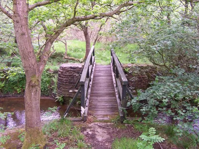
© Joe Regan · Geograph · CC BY-SA 2.0
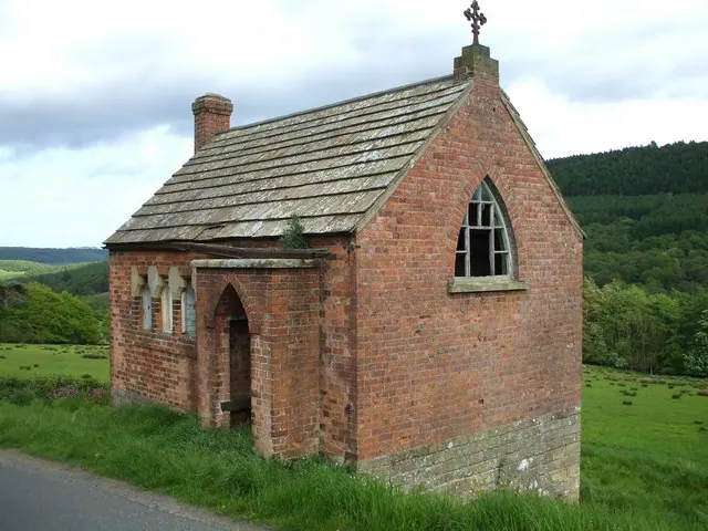
© Matthew Hatton · Geograph · CC BY-SA 2.0
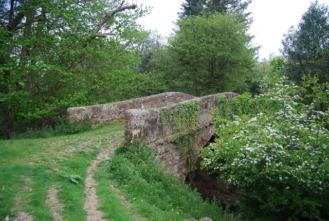
© N Chadwick · Geograph · CC BY-SA 2.0
Images © their respective photographers, licensed under CC BY-SA 2.0 and reused here with attribution. Photographs depict listed buildings, churches and monuments near this settlement and may show neighbouring villages.
Data derived from the Open Domesday project (opendomesday.org), based on the Domesday Book dataset compiled by Professor J.J.N. Palmer and team. The Domesday Book (1086) is in the public domain.
Found an inaccuracy? [email protected]