Treeton in the Domesday Book (1086)
The settlement of Treeton is recorded in William I’s Domesday survey of 1086, entered under the hundred of Strafforth in Yorkshire. The survey assessed Treeton at 40 carucates of taxable land.
At the time of the survey, Treeton supported a recorded population of 27 villagers, 31 smallholders, 6 slaves, working 14 ploughs between them.
By 1086 Treeton was worth 26 shillings, up from 20 shillings before the Conquest – a sign this community came through the Conquest without being ruined.
Resources Recorded at Treeton (1086)
- Fisheries: 1
- Meadow: 300 acres
Other Settlements in Strafforth
- Adwick [le Street]
- Adwick [upon Dearne]
- Armthorpe
- Aston
- Attercliffe
- Auckley
- Aughton [Hall]
- Austerfield
- Balby
- Barnbrough
- Barnby [Dun]
- Bentley
- Bilham [House]
- Billingley
The Meaning of the Name
The name Treeton is of Anglo-Saxon origin. Its final element derives from the Old English word tūn, a farmstead or village. The first element is most likely a personal name or an early descriptive term, now difficult to recover with certainty. Taken together the name probably meant something close to ‘a farmstead’.
Remarkably, the name has changed little since 1086, when the Domesday scribes wrote it as Treeton.
Listed Buildings Near Treeton
Historic England records 7 listed buildings within about a mile of Treeton. Listing protects structures of special architectural or historic interest, graded I (exceptional), II* (particularly important) and II.
Grade I
- Church of St Helen - 0.43 km
Grade II
- Village Stocks Approximately 10 Metres to South to South of Church of St Helen - 0.42 km
- The Georgian House - 0.46 km
- 24, Station Road - 0.57 km
- 25, Bole Hill - 0.9 km
- Farmbuilding at Spa House Farm Approximately 12 Metres to South West of Farmhouse - 0.99 km
- Farmbuilding at Spa House Farm Approximately 35 Metres to North of Farmhouse - 1.05 km
Scheduled Monuments Near Treeton
Scheduled monuments are nationally important archaeological sites given legal protection. 1 lies within roughly a mile of Treeton:
- The glassworks cone - 1.56 km
Treeton Today
Today Treeton records a population of 3,189 at recent figures. Nine and a half centuries separate that figure from the small rural community the Domesday survey recorded here in 1086.
Read more about modern Treeton on Wikipedia .
Nearby Domesday Settlements
Other places recorded in the 1086 survey within a few miles:
- Orgreave - 1.4 km SW
- Handsworth - 2.2 km SW
- Aughton Hall - 2.2 km SE
- Brinsworth - 2.8 km NW
- Ulley - 3.0 km E
- Whiston - 3.2 km N
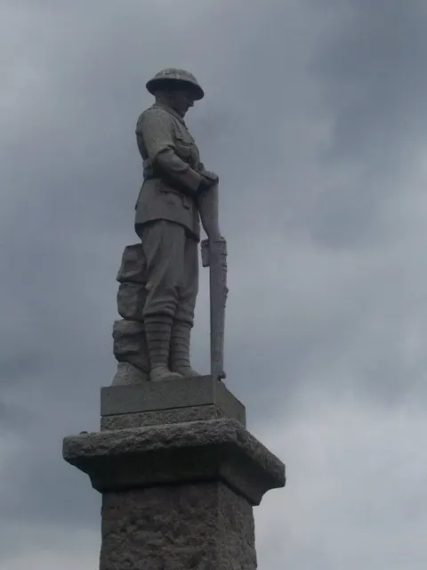
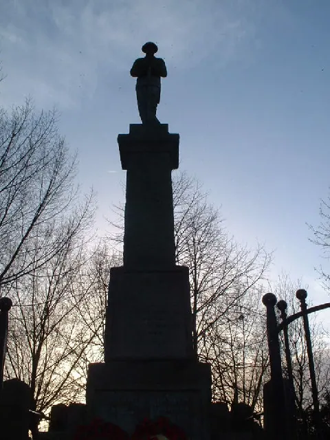
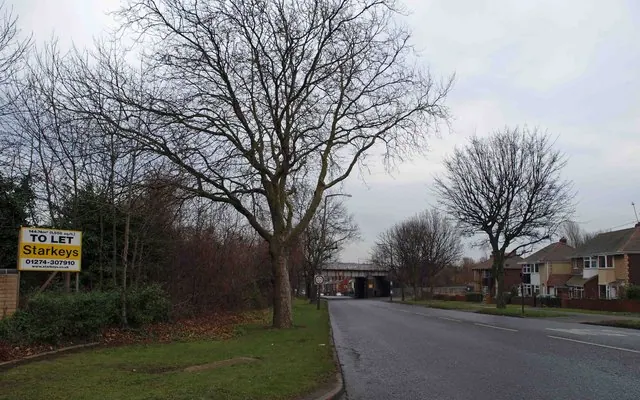
Heritage Around Treeton
Photographs of churches, listed buildings and monuments in the vicinity, contributed by volunteers to the Geograph project and reused here under a Creative Commons licence.
© Martin Speck · Geograph · CC BY-SA 2.0
© Webmaster · Geograph · CC BY-SA 2.0
© Steve Fareham · Geograph · CC BY-SA 2.0
Images © their respective photographers, licensed under CC BY-SA 2.0 and reused here with attribution. Photographs depict listed buildings, churches and monuments near this settlement and may show neighbouring villages.
Data derived from the Open Domesday project (opendomesday.org), based on the Domesday Book dataset compiled by Professor J.J.N. Palmer and team. The Domesday Book (1086) is in the public domain.
Found an inaccuracy? [email protected]