Toxteth in the Domesday Book (1086)
The settlement of Toxteth is recorded in William I’s Domesday survey of 1086, entered under the hundred of [West] Derby in Cheshire.
Other Settlements in [West] Derby
- Ainsdale
- Allerton
- Argarmeles
- Aughton
- Barton
- Bootle
- Childwall
- Dalton
- Downholland
- Formby
- Halsall
- Hurlston
- Huyton
- Ince [Blundell]
The Meaning of the Name
The origin of the name Toxteth is not securely established from its modern form alone; like many settlement names in the North it likely combines an Old English or Old Norse personal name with a landscape term.
Remarkably, the name has changed little since 1086, when the Domesday scribes wrote it as Toxteth.
Listed Buildings Near Toxteth
Historic England records 258 listed buildings within about a mile of Toxteth. Listing protects structures of special architectural or historic interest, graded I (exceptional), II* (particularly important) and II.
Grade II*
- Chapel of Saint Patrick - 0.36 km
- Church of St James - 0.66 km
Grade II
- St Patrick’s Presbytery - 0.32 km
- Toxteth Reservoir, Retaining Walls and Corner Tower - 0.43 km
- Public offices (now Health and Social Security) - 0.47 km
- Our Lady of Mount Carmel Roman Catholic Church and Presbytery - 0.48 km
- Florence Institute - 0.61 km
- 24 and 26, Upper Parliament Street - 0.66 km
- 28-34, Upper Parliament Street - 0.66 km
- Welsh Presbyterian Church - 0.66 km
- Toxteth Public Library - 0.66 km
- No. 36, UPPER PARLIAMENT STREET - 0.67 km
- 40, Upper Parliament Street - 0.69 km
- Wall, Railings and Gates to St James’ Churchyard - 0.7 km
- 44, Upper Parliament Street - 0.7 km
- 46, Upper Parliament Street - 0.7 km
- 42, Upper Parliament Street - 0.7 km
- 48, Upper Parliament Street - 0.7 km
- Saint James’ Cemetery Lodge Next to Gateway - 0.71 km
- 50, Upper Parliament Street - 0.71 km
- 58, 60 and 62, Upper Parliament Street - 0.72 km
- 64, Upper Parliament Street - 0.72 km
- 66, Upper Parliament Street - 0.72 km
- Saint James’ Cemetery Gateway to South End of Saint James’ Road - 0.73 km
…and 234 more listed structures in the area.
Nearby Domesday Settlements
Other places recorded in the 1086 survey within a few miles:
Heritage Around Toxteth
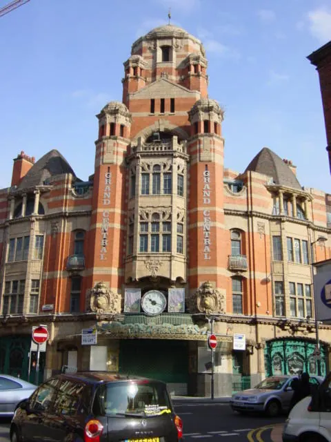
Photographs of churches, listed buildings and monuments in the vicinity, contributed by volunteers to the Geograph project and reused here under a Creative Commons licence.
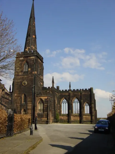
© Sue Adair · Geograph · CC BY-SA 2.0
© Sue Adair · Geograph · CC BY-SA 2.0
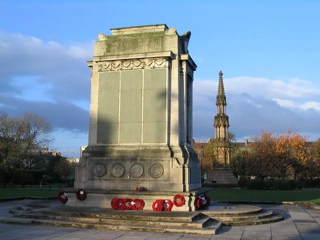
© Peter Craine · Geograph · CC BY-SA 2.0
Images © their respective photographers, licensed under CC BY-SA 2.0 and reused here with attribution. Photographs depict listed buildings, churches and monuments near this settlement and may show neighbouring villages.
Data derived from the Open Domesday project (opendomesday.org), based on the Domesday Book dataset compiled by Professor J.J.N. Palmer and team. The Domesday Book (1086) is in the public domain.
Found an inaccuracy? [email protected]