Toulston in the Domesday Book (1086)
The 1086 Domesday survey records the settlement of Toulston, entered under the hundred of Barkston in Yorkshire. The survey assessed Toulston at 5.8 carucates of taxable land.
The survey records Toulston’s value at 0d in 1086. No pre-Conquest figure survives – not unusual in the North, where records were disrupted by the Harrying and by the patchy coverage of the survey.
1 of 2 manors within Toulston are recorded as waste in 1086, with the remainder still productive. This partial devastation suggests the settlement was caught in the path of the Harrying of the North but not entirely destroyed - or that recovery had begun in some holdings by the time of the survey.
The survey lists 2 manors at Toulston under different lords. Splitting a single settlement between multiple tenants was common across the North – Saxon estates broken up and handed to William’s followers after 1066.
Other Settlements in Barkston
- Barkston
- Barlow
- Birkin
- Bramham
- Brayton
- Burton [Hall]
- Camblesforth
- Carlton
- Clifford
- Drax
- Fairburn
- Grimston [Grange]
- Hambleton
- Hazelwood [Castle]
The Meaning of the Name
The name Toulston is of Anglo-Saxon origin. Its final element derives from the Old English word tūn, a farmstead or village. The first element is most likely a personal name or an early descriptive term, now difficult to recover with certainty. Taken together the name probably meant something close to ‘a farmstead’.
Remarkably, the name has changed little since 1086, when the Domesday scribes wrote it as Toulston.
Listed Buildings Near Toulston
Historic England records 19 listed buildings within about a mile of Toulston. Listing protects structures of special architectural or historic interest, graded I (exceptional), II* (particularly important) and II.
Grade I
- Church of St Andrew - 1.06 km
Grade II*
- Newton-kyme Hall - 1.03 km
Grade II
- Milestone Opposite Junction With Croft Lane - 0.29 km
- The Old Schoolhouse - 0.88 km
- Sundial Approximately 10 Metres South of the Old Schoolhouse (Qv) - 0.89 km
- Wall, Gate and Railings to Fold Yard to the Dower House - 0.91 km
- The Dower House - 0.93 km
- Gatepiers and Garden Wall to Oglethorpe Old Hall Farmhouse at Se446 442 - 0.94 km
- Wall and Railings Adjoining the Rectory - 0.96 km
- The Rectory - 0.97 km
- Ha-ha Approximately 25 Metres to South of Newton-kyme Hall - 0.99 km
- Groom’s House - 1.03 km
- Graveslab, Churchyard of St Andrew, Approximately 4 Metres East of South Porch - 1.04 km
- Base of Cross, Churchyard of St Andrews, Approximately 5 Metres South-east of South Porch - 1.04 km
- Graveslab, Churchyard of St Andrew, Approximately 4 Metres South-west of South Porch - 1.05 km
- Coach-house and Stables - 1.06 km
- Icehouse Approximately 8 Metres North-east of Newton-kyme Hall - 1.08 km
- Ruined Remains of Newton-kyme Castle Approximately 25 Metres East of Newton-kyme Hall - 1.1 km
- Boundary Stone 1000M East of Milestone Opposite Junction With Croft Lane - 1.27 km
Scheduled Monuments Near Toulston
Scheduled monuments are nationally important archaeological sites given legal protection. 3 lie within roughly a mile of Toulston:
- Toulston medieval village, manor house site and early garden earthworks - 0.49 km
- Two Roman forts, two Roman camps, vicus, Iron Age enclosure, Bronze Age barrows and Neolithic henge monument west of Newton Kyme - 0.64 km
- Fortified manor house known as Kyme Castle - 1.1 km
Toulston Today
Today Toulston lies within the administrative area of Newton Kyme cum Toulston.
Read more about modern Toulston on Wikipedia .
Nearby Domesday Settlements
Other places recorded in the 1086 survey within a few miles:
- Newton Kyme - 1.0 km E
- Oglethorpe Hall - 1.0 km W
- Wighill - 2.8 km NE
- Thorp Arch - 2.8 km NW
- Malkton - 3.0 km E
- Clifford - 3.0 km W
Heritage Around Toulston
Photographs of churches, listed buildings and monuments in the vicinity, contributed by volunteers to the Geograph project and reused here under a Creative Commons licence.
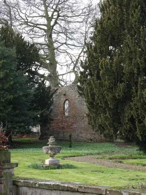
© Gordon Hatton · Geograph · CC BY-SA 2.0
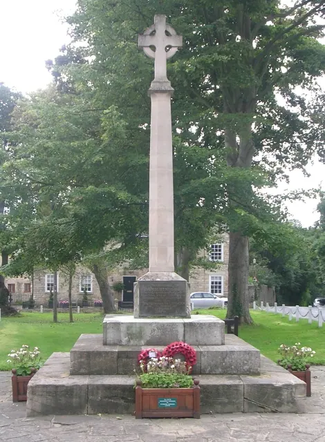
© Betty Longbottom · Geograph · CC BY-SA 2.0
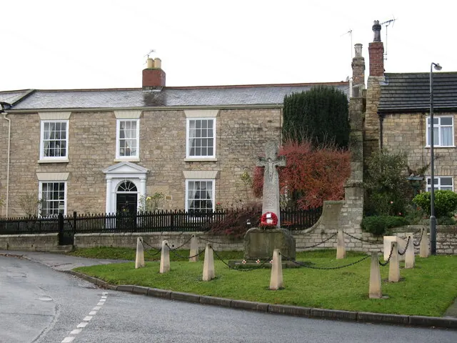
© Gordon Hatton · Geograph · CC BY-SA 2.0
Images © their respective photographers, licensed under CC BY-SA 2.0 and reused here with attribution. Photographs depict listed buildings, churches and monuments near this settlement and may show neighbouring villages.
Data derived from the Open Domesday project (opendomesday.org), based on the Domesday Book dataset compiled by Professor J.J.N. Palmer and team. The Domesday Book (1086) is in the public domain.
Found an inaccuracy? [email protected]