Totley in the Domesday Book (1086)
Totley is named in the Domesday Book, compiled by Norman commissioners in 1086, entered under the hundred of Scarsdale in Derbyshire.
Other Settlements in Scarsdale
- Alfreton
- Ashover
- Barlborough
- Barlow
- Beighton
- Blingsby
- Bolsover
- Boythorpe
- Bramley [Vale]
- Brimington
- Calow
- Chesterfield
- Clowne
- Dore
The Meaning of the Name
The name Totley is of Anglo-Saxon origin. Its final element derives from the Old English word lēah, a woodland clearing or glade. The first element is most likely a personal name or an early descriptive term, now difficult to recover with certainty. Taken together the name probably meant something close to ‘a clearing’.
Remarkably, the name has changed little since 1086, when the Domesday scribes wrote it as Totley.
Listed Buildings Near Totley
Historic England records 22 listed buildings within about a mile of Totley. Listing protects structures of special architectural or historic interest, graded I (exceptional), II* (particularly important) and II.
Grade II
- Totley Hall - 0.18 km
- Totley Hall Farmhouse - 0.2 km
- School House - 0.23 km
- Steps and flanking walls 5 metres north west of Church of All Saints - 0.28 km
- Church of All Saints - 0.28 km
- Totley War Memorial - 0.34 km
- Bryn Cottage Moor Cottage - 0.39 km
- Ash Cottage - 0.46 km
- Cannon Hall - 0.49 km
- Lower Bents Farmhouse - 0.69 km
- Bridge Approximately 85 Metres South West of Totley Grove - 0.69 km
- Bridge Approximately 200 Metres North West of Totley Grove - 0.84 km
- Gatepiers at Woodthorpe Hall - 1.13 km
- Woodthorpe Hall - 1.14 km
- Cherry Tree Lodge - 1.17 km
- Brook Hall and Adjoining Garden Wall - 1.2 km
- Outbuilding to the North East of Fanshawe Gate Hall - 1.21 km
- Stable and Coach House 20 Metres South East of Brook Hall - 1.21 km
- Fanshawe Gate Hall - 1.23 km
- Cottage to the South East of Fanshawe Gate Hall - 1.25 km
- Dovecote to the South East of Fanshawe Gate Hall - 1.26 km
- Two Pairs of Gate Piers and Attached Boundary Walls to the South, South East and South West of Fanshawe Gate Hall - 1.27 km
Scheduled Monuments Near Totley
Scheduled monuments are nationally important archaeological sites given legal protection. 1 lies within roughly a mile of Totley:
Totley Today
Today Totley lies within the administrative area of Sheffield.
Read more about modern Totley on Wikipedia .
Nearby Domesday Settlements
Other places recorded in the 1086 survey within a few miles:
- Dore - 2.0 km N
- Holmesfield - 2.8 km SE
- Dronfield - 5.1 km E
- Upton - 5.1 km E
- Norton and Little Norton - 5.8 km NE
- Coal Aston - 6.0 km E
Heritage Around Totley
Photographs of churches, listed buildings and monuments in the vicinity, contributed by volunteers to the Geograph project and reused here under a Creative Commons licence.
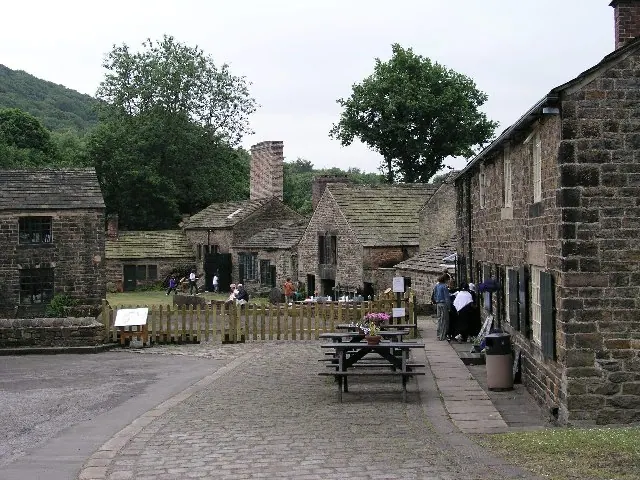
© Alan Fleming · Geograph · CC BY-SA 2.0
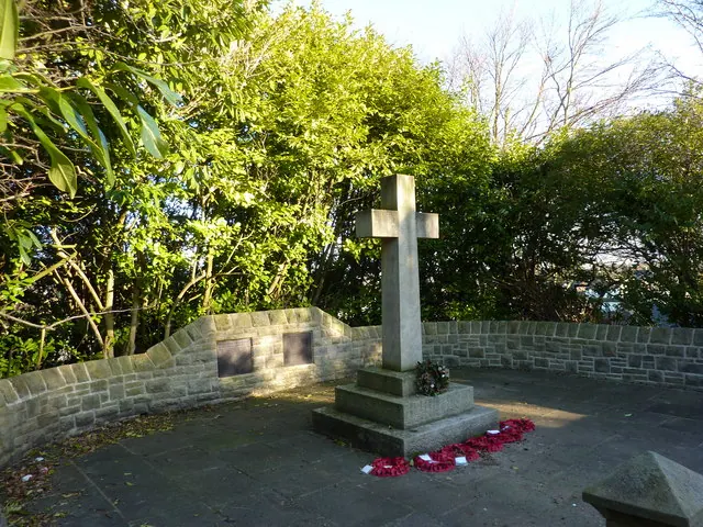
© Peter Barr · Geograph · CC BY-SA 2.0
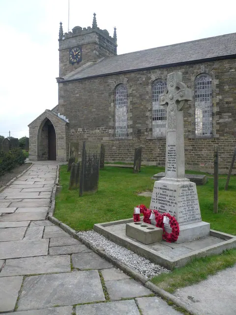
© Alan Heardman · Geograph · CC BY-SA 2.0
Images © their respective photographers, licensed under CC BY-SA 2.0 and reused here with attribution. Photographs depict listed buildings, churches and monuments near this settlement and may show neighbouring villages.
Data derived from the Open Domesday project (opendomesday.org), based on the Domesday Book dataset compiled by Professor J.J.N. Palmer and team. The Domesday Book (1086) is in the public domain.
Found an inaccuracy? [email protected]