Totfled in the Domesday Book (1086)
Totfled is named in the Domesday Book, compiled by Norman commissioners in 1086, entered under the hundred of Hessle in Yorkshire. The survey assessed Totfled at 10 carucates of taxable land.
At the time of the survey, Totfled supported a recorded population of 9 villagers, 18 smallholders, 17 freemanmen, working 8 ploughs between them.
By 1086 Totfled was worth 2.55 shillings, up from 1.8 shillings before the Conquest – in contrast to many Yorkshire neighbours whose valuations collapsed.
The survey lists 5 manors at Totfled under different lords. Splitting a single settlement between multiple tenants was common across the North – Saxon estates broken up and handed to William’s followers after 1066.
Resources Recorded at Totfled (1086)
- Meadow: 5 None
Other Settlements in Hessle
- Anlaby
- Breighton
- Bubwith
- Chetelestorp
- Chrachetorp
- Crachetorp
- Gunby
- Hessle
- Lund
- Myton
- Newsholme
- Riplingham
- Siuuarbi
- Spaldington
The Meaning of the Name
The origin of the name Totfled is not securely established from its modern form alone; like many settlement names in the North it likely combines an Old English or Old Norse personal name with a landscape term.
Remarkably, the name has changed little since 1086, when the Domesday scribes wrote it as Totfled.
Listed Buildings Near Totfled
Historic England records 270 listed buildings within about a mile of Totfled. Listing protects structures of special architectural or historic interest, graded I (exceptional), II* (particularly important) and II.
Grade II*
- Minerva Lodge of Freemasons Number 250 - 0.19 km
- Hands on History Museum - 0.27 km
Grade II
- Earl de Grey Public House - 0.08 km
- Warehouse at South East Corner of Prince’s Dock - 0.09 km
- Connecting Channel Former Railway Dock Swing Bridge - 0.12 km
- Castle Buildings - 0.13 km
- Prince’s Dock - 0.15 km
- Former Railway Dock Warehouse (Warehouse No. 13) - 0.17 km
- Former Warehouses on Corner of Princes Dock Street and Posterngate - 0.18 km
- Prince’s Dock Chambers and the Quayside Public House - 0.19 km
- Gatehouse to Trinity House - 0.22 km
- Warehouse at Corner of Robinson Row - 0.22 km
- No. 3, PRINCE STREET and Nos. 6-12, PRINCE STREET - 0.23 km
- 6, Posterngate - 0.23 km
- Former Department of Transport Marine Office - 0.23 km
- Roland House and Commercial Chambers - 0.24 km
- Ferens Art Gallery - 0.24 km
- Former Fish Street Day Schools - 0.25 km
- Carmelite House - 0.25 km
- 9 1/2 10 10 1/2 and 11, King Street - 0.25 km
- Colonial Chambers - 0.25 km
- Punch Hotel - 0.25 km
- 30-33 Whitefriargate, Hull - 0.26 km
- Monument Buildings - 0.26 km
…and 246 more listed structures in the area.
Scheduled Monuments Near Totfled
Scheduled monuments are nationally important archaeological sites given legal protection. 2 lie within roughly a mile of Totfled:
- Beverley Gate and adjacent archaeological remains forming part of Hull’s medieval and post-medieval defences - 0.28 km
- Hull Castle, South Blockhouse and part of late 17th century Hull Citadel Fort at Garrison Side - 0.89 km
Nearby Domesday Settlements
Other places recorded in the 1086 survey within a few miles:
- Myton - 0.0 km N
- Drypool - 1.0 km E
- Southcoates - 3.6 km NE
- Sutton on Hull - 4.5 km NE
- Marfleet - 5.1 km E
- South Skirlaugh - 5.1 km E
Heritage Around Totfled
Photographs of churches, listed buildings and monuments in the vicinity, contributed by volunteers to the Geograph project and reused here under a Creative Commons licence.
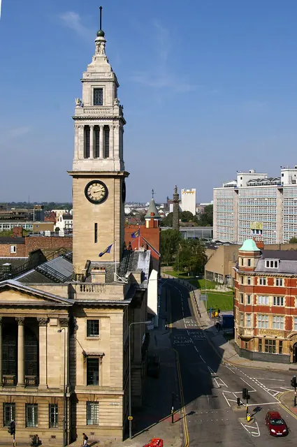
© David Wright · Geograph · CC BY-SA 2.0
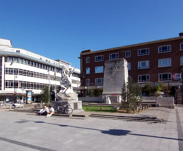
© David Wright · Geograph · CC BY-SA 2.0
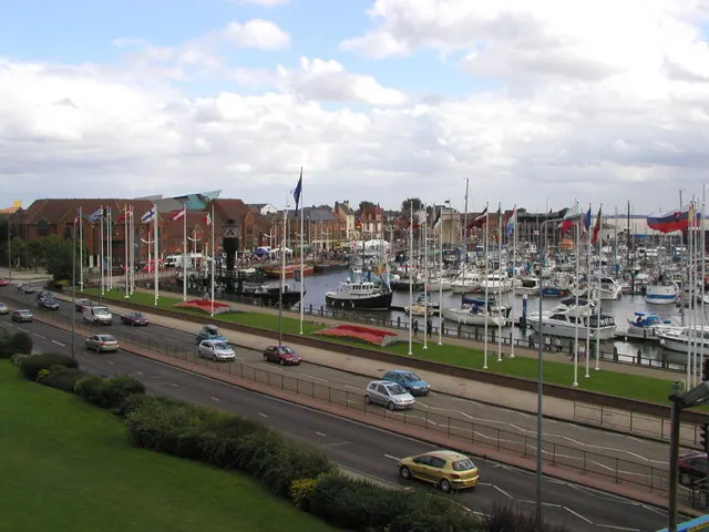
© Andy Beecroft · Geograph · CC BY-SA 2.0
Images © their respective photographers, licensed under CC BY-SA 2.0 and reused here with attribution. Photographs depict listed buildings, churches and monuments near this settlement and may show neighbouring villages.
Data derived from the Open Domesday project (opendomesday.org), based on the Domesday Book dataset compiled by Professor J.J.N. Palmer and team. The Domesday Book (1086) is in the public domain.
Found an inaccuracy? [email protected]