Tong in the Domesday Book (1086)
Tong appears in the Domesday Book of 1086, entered under the hundred of Morley in Yorkshire.
Other Settlements in Morley
- Allerton
- Armley
- Batley
- Beeston
- Bolton
- Bowling
- Bradford
- Bramley
- Calverley
- Carlton
- Chellow [Grange]
- Clayton
- Clifton
- Cruttonstall
The Meaning of the Name
The origin of the name Tong is not securely established from its modern form alone; like many settlement names in the North it likely combines an Old English or Old Norse personal name with a landscape term.
Remarkably, the name has changed little since 1086, when the Domesday scribes wrote it as Tong.
Listed Buildings Near Tong
Historic England records 22 listed buildings within about a mile of Tong. Listing protects structures of special architectural or historic interest, graded I (exceptional), II* (particularly important) and II.
Grade I
- Church of St James - 0.32 km
- Tong Hall - 0.32 km
Grade II*
- Gate piers at entrance to Tong Hall Drive - 0.27 km
- Stable Court and Home Farmhouse at Tong Hall - 0.28 km
Grade II
- Gates and Gate Piers to Churchyard of Church of St James - 0.31 km
- Stocks to Right Hand of Gates to Churchyard of Church of St James - 0.32 km
- Church Farmhouse - 0.32 km
- 3 and 5, Tong Lane - 0.35 km
- The Old Vicarage - 0.35 km
- Former Kitchen Garden Wall of the Tong Hall Estate - 0.39 km
- 9, Tong Lane - 0.4 km
- Post Office and Tong Parish Room - 0.46 km
- Numbers 16 and 16A and the Barn - 0.51 km
- The Greyhound Public House - 0.53 km
- Pinfold With Pump, Trough and Smithy - 0.63 km
- Gib Stubbing Farmhouse - 0.67 km
- Manor House - 0.7 km
- Barn Approximately 33 Yards West of Gib Stubbing Farmhouse - 0.71 km
- Barn at Shawfield Farm - 0.88 km
- Maythorne Farmhouse - 0.92 km
- The 6 Acres - 1.07 km
- Raikes Farmhouse and Integral Barn - 1.29 km
Tong Today
Today Tong lies within the administrative area of Bradford.
Read more about modern Tong on Wikipedia .
Nearby Domesday Settlements
Other places recorded in the 1086 survey within a few miles:
- Drighlington - 1.4 km SE
- Pudsey - 3.0 km N
- North Bierley - 4.1 km W
- Gomersal - 4.1 km S
- Farnley - 4.5 km NE
- Bowling - 4.5 km NW
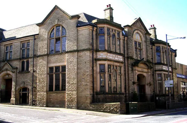
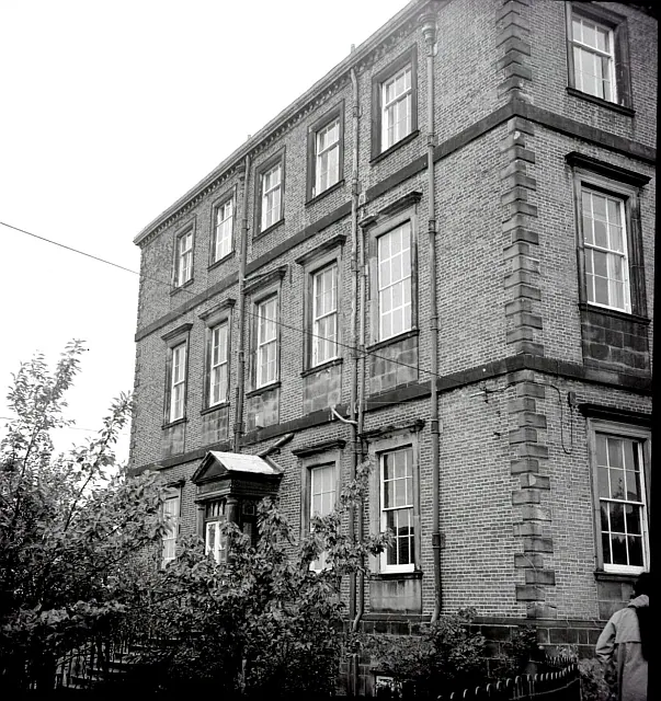
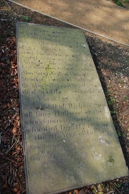
Heritage Around Tong
Photographs of churches, listed buildings and monuments in the vicinity, contributed by volunteers to the Geograph project and reused here under a Creative Commons licence.
© Betty Longbottom · Geograph · CC BY-SA 2.0
© Alan Longbottom · Geograph · CC BY-SA 2.0
© Michael Woodhead · Geograph · CC BY-SA 2.0
Images © their respective photographers, licensed under CC BY-SA 2.0 and reused here with attribution. Photographs depict listed buildings, churches and monuments near this settlement and may show neighbouring villages.
Data derived from the Open Domesday project (opendomesday.org), based on the Domesday Book dataset compiled by Professor J.J.N. Palmer and team. The Domesday Book (1086) is in the public domain.
Found an inaccuracy? [email protected]