Tollesby in the Domesday Book (1086)
Tollesby appears in the Domesday Book of 1086, entered under the hundred of Langbaurgh in Yorkshire.
Other Settlements in Langbaurgh
- Acklam
- Airy [Holme]
- Aislaby
- Arnodestorp
- Baldebi
- Barnaby
- Barwick
- Battersby
- Bergolbi
- Berguluesbi
- Blaten [Carr]
- Borrowby
- Breck
- Brotton
The Meaning of the Name
The name Tollesby is of Scandinavian origin. Its final element derives from the Old Norse word bý, a farmstead or village. The first element is most likely a personal name or an early descriptive term, now difficult to recover with certainty. Taken together the name probably meant something close to ‘a farmstead’.
Names of this type are a fingerprint of Scandinavian settlement: they cluster across the old Danelaw, where Norse-speaking settlers renamed or founded villages from the late 9th century onward.
Remarkably, the name has changed little since 1086, when the Domesday scribes wrote it as Tollesby.
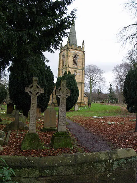
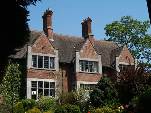
Listed Buildings Near Tollesby
Historic England records 17 listed buildings within about a mile of Tollesby. Listing protects structures of special architectural or historic interest, graded I (exceptional), II* (particularly important) and II.
Grade II*
- Church of St. Cuthbert - 0.62 km
- West Lodges With Gates Gatepiers and Flanking Walls - 0.65 km
Grade II
- Stewart Park Depot - 0.26 km
- Loggia Circa 20 Metres South of Captain Cook Birthplace Museum - 0.34 km
- Temple Circa 150 Metres South West of Captain Cook Birthplace Museum - 0.38 km
- Memorial to Captain James Cook Circa 80 Metres South of Captain Cook Birthplace Museum - 0.4 km
- Bolckow Tombstones, Grave Cover and Kerb, Circa 24 Metres East of Chancel of Church of St Cuthbert - 0.6 km
- Armstrong/ingledew Fenison Tombstone, C10m East of Church of St. Cuthbert Armstrong/ingledew Fenison Tombstone, Circa 10 Metres East of Church of St Cuthbert - 0.61 km
- Wright Tombstone, Circa 4 Metres South of South Porch of Church of St Cuthbert - 0.63 km
- Davison Tombstone Circa 6 Metres South of South Trancept of Church of St Cuthbert - 0.63 km
- Davison Tombstone, Circa 5 Metres South of South Transept of Church of St Cuthbert - 0.63 km
- Captain Cook School and School House - 0.65 km
- Coach House, Stable and Screen Wall Circa 10 Metres North East of Westside House - 0.66 km
- Westside House - 0.67 km
- Barn and Byre Ranges Circa 20 Metres West of Ormesby Grange Farmhouse - 1.05 km
- Stable, Circa 10 Metres North West of Ormesby Grange Farmhouse - 1.06 km
- Pigsty Range Circa 35 Metres North of Ormesby Grange Farmhouse - 1.08 km
Tollesby Today
Today Tollesby lies within the administrative area of Middlesbrough.
Read more about modern Tollesby on Wikipedia .
Nearby Domesday Settlements
Other places recorded in the 1086 survey within a few miles:
- Marton in Cleveland - 1.0 km S
- Ormesby - 2.0 km E
- Hemlington - 2.2 km SW
- Newham Hall - 3.0 km S
- Acklam - 3.2 km W
- Coulby - 3.2 km S
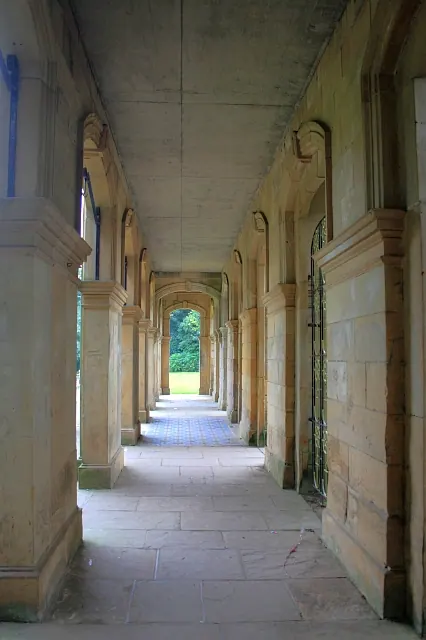
Heritage Around Tollesby
Photographs of churches, listed buildings and monuments in the vicinity, contributed by volunteers to the Geograph project and reused here under a Creative Commons licence.
© Mick Garratt · Geograph · CC BY-SA 2.0
© Stephen McCulloch · Geograph · CC BY-SA 2.0
© Mike Guess · Geograph · CC BY-SA 2.0
Images © their respective photographers, licensed under CC BY-SA 2.0 and reused here with attribution. Photographs depict listed buildings, churches and monuments near this settlement and may show neighbouring villages.
Data derived from the Open Domesday project (opendomesday.org), based on the Domesday Book dataset compiled by Professor J.J.N. Palmer and team. The Domesday Book (1086) is in the public domain.
Found an inaccuracy? [email protected]