Toftes in the Domesday Book (1086)
Toftes is named in the Domesday Book, compiled by Norman commissioners in 1086, entered under the hundred of Strafforth in Yorkshire.
Other Settlements in Strafforth
- Adwick [le Street]
- Adwick [upon Dearne]
- Armthorpe
- Aston
- Attercliffe
- Auckley
- Aughton [Hall]
- Austerfield
- Balby
- Barnbrough
- Barnby [Dun]
- Bentley
- Bilham [House]
- Billingley
The Meaning of the Name
The origin of the name Toftes is not securely established from its modern form alone; like many settlement names in the North it likely combines an Old English or Old Norse personal name with a landscape term.
Remarkably, the name has changed little since 1086, when the Domesday scribes wrote it as Toftes.
Listed Buildings Near Toftes
Historic England records 6 listed buildings within about a mile of Toftes. Listing protects structures of special architectural or historic interest, graded I (exceptional), II* (particularly important) and II.
Grade II
- Northernmost Chapel at Wombwell Cemetery - 0.31 km
- Southernmost Chapel at Wombwell Cemetery - 0.34 km
- Bradberry Balk Bridge - 0.53 km
- Memorial Plaque Attached to North West Side of Former Town Hall at Junction With High Street - 0.66 km
- Church of St Mary - 0.72 km
- Former Mill Building at Aldham Farm - 1.26 km
Nearby Domesday Settlements
Other places recorded in the 1086 survey within a few miles:
- Wombwell - 0.0 km N
- Darfield - 2.2 km NE
- Brampton Bierlow - 2.8 km SE
- Eldeberge - 2.8 km SE
- Little Houghton - 3.6 km NE
- West Melton - 3.6 km SE
Heritage Around Toftes
Photographs of churches, listed buildings and monuments in the vicinity, contributed by volunteers to the Geograph project and reused here under a Creative Commons licence.
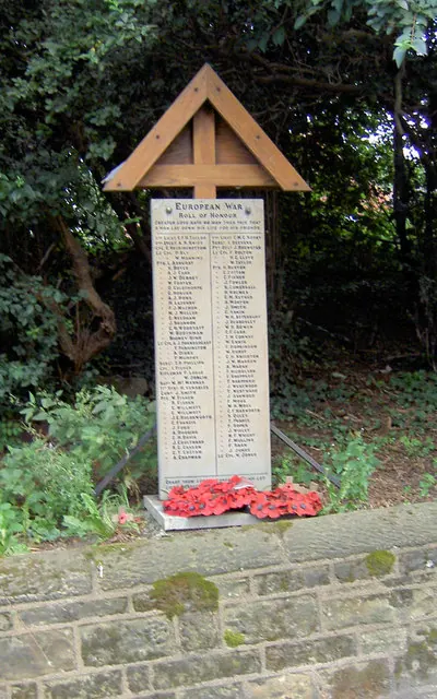
© Steve Fareham · Geograph · CC BY-SA 2.0
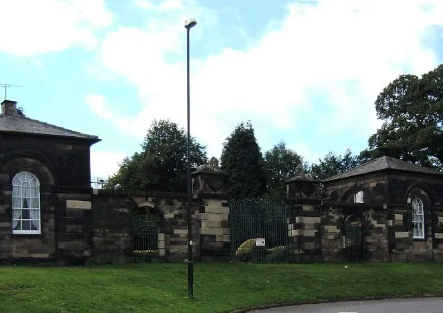
© Pat Cresswell · Geograph · CC BY-SA 2.0
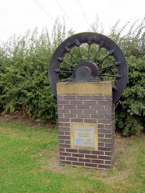
© Steve Fareham · Geograph · CC BY-SA 2.0
Images © their respective photographers, licensed under CC BY-SA 2.0 and reused here with attribution. Photographs depict listed buildings, churches and monuments near this settlement and may show neighbouring villages.
Data derived from the Open Domesday project (opendomesday.org), based on the Domesday Book dataset compiled by Professor J.J.N. Palmer and team. The Domesday Book (1086) is in the public domain.
Found an inaccuracy? [email protected]