Todwick in the Domesday Book (1086)
Todwick appears in the Domesday Book of 1086, entered under the hundred of Strafforth in Yorkshire.
Other Settlements in Strafforth
- Adwick [le Street]
- Adwick [upon Dearne]
- Armthorpe
- Aston
- Attercliffe
- Auckley
- Aughton [Hall]
- Austerfield
- Balby
- Barnbrough
- Barnby [Dun]
- Bentley
- Bilham [House]
- Billingley
The Meaning of the Name
The name Todwick is of Anglo-Saxon origin. Its final element derives from the Old English word wīc, a dwelling, dairy farm or trading settlement. The first element is most likely a personal name or an early descriptive term, now difficult to recover with certainty. Taken together the name probably meant something close to ‘a specialised farm’.
Remarkably, the name has changed little since 1086, when the Domesday scribes wrote it as Todwick.
Listed Buildings Near Todwick
Historic England records 12 listed buildings within about a mile of Todwick. Listing protects structures of special architectural or historic interest, graded I (exceptional), II* (particularly important) and II.
Grade II*
- Church of St Peter and St Paul - 0.37 km
Grade II
- 44 and 46, Kiveton Lane - 0.15 km
- Hand-pump Immediately to North of Number 44 - 0.15 km
- Former Cottages to Rear of Number 32 - 0.28 km
- Todwick Old Hall - 0.39 km
- Outbuilding Approximately 30 Metres to North West of Todwick Old Hall - 0.41 km
- Milepost Approximately 35 Metres to East of Entrance to Todwick Grange - 0.99 km
- End Sections of 2 Outbuildings at Kiveton Hall Farm Each Having Twin Oeil-de-boeuf and Facing Kiveton Lane - 1.03 km
- Main Gate Piers to Kiveton Hall - 1.07 km
- Section of wall flanking south side of drive to Kiveton Hall and forming north side of walled garden to south west of house - 1.1 km
- Kiveton Hall - 1.1 km
- Ha Ha Immediately to East of Kiveton Hall - 1.11 km
Scheduled Monuments Near Todwick
Scheduled monuments are nationally important archaeological sites given legal protection. 1 lies within roughly a mile of Todwick:
- Manor House moated site - 0.31 km
Todwick Today
Today Todwick lies within the administrative area of Rotherham, and the settlement recorded a population of 1,663 at the 2021 census. Nine and a half centuries separate that figure from the small rural community the Domesday survey recorded here in 1086.
Read more about modern Todwick on Wikipedia .
Nearby Domesday Settlements
Other places recorded in the 1086 survey within a few miles:
- Kiveton - 1.0 km S
- Wales - 2.2 km SW
- South Anston - 2.2 km SE
- North Anston - 3.0 km E
- Dinnington - 3.2 km E
- Aston - 3.2 km W
Heritage Around Todwick
Photographs of churches, listed buildings and monuments in the vicinity, contributed by volunteers to the Geograph project and reused here under a Creative Commons licence.
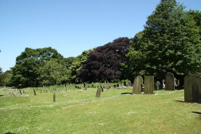
© Richard Croft · Geograph · CC BY-SA 2.0
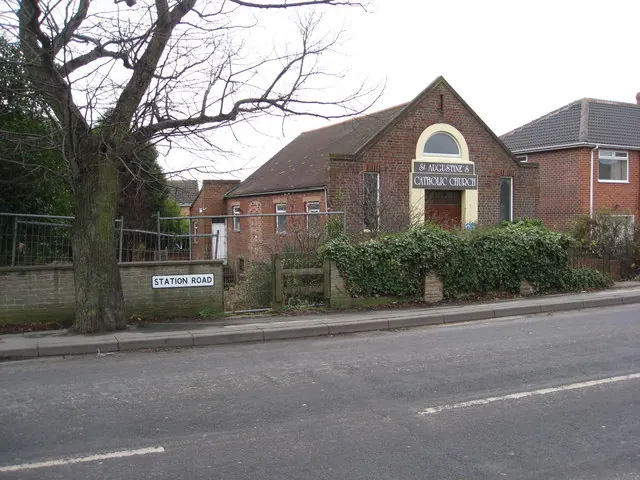
© Alan Heardman · Geograph · CC BY-SA 2.0
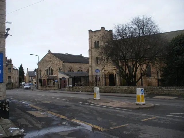
© SMJ · Geograph · CC BY-SA 2.0
Images © their respective photographers, licensed under CC BY-SA 2.0 and reused here with attribution. Photographs depict listed buildings, churches and monuments near this settlement and may show neighbouring villages.
Data derived from the Open Domesday project (opendomesday.org), based on the Domesday Book dataset compiled by Professor J.J.N. Palmer and team. The Domesday Book (1086) is in the public domain.
Found an inaccuracy? [email protected]