Tocketts Farm in the Domesday Book (1086)
Tocketts Farm is named in the Domesday Book, compiled by Norman commissioners in 1086, entered under the hundred of Langbaurgh in Yorkshire.
Other Settlements in Langbaurgh
- Acklam
- Airy [Holme]
- Aislaby
- Arnodestorp
- Baldebi
- Barnaby
- Barwick
- Battersby
- Bergolbi
- Berguluesbi
- Blaten [Carr]
- Borrowby
- Breck
- Brotton
The Meaning of the Name
The origin of the name Tocketts Farm is not securely established from its modern form alone; like many settlement names in the North it likely combines an Old English or Old Norse personal name with a landscape term.
Remarkably, the name has changed little since 1086, when the Domesday scribes wrote it as Tocketts Farm.
Listed Buildings Near Tocketts Farm
Historic England records 18 listed buildings within about a mile of Tocketts Farm. Listing protects structures of special architectural or historic interest, graded I (exceptional), II* (particularly important) and II.
Grade II*
- Tocketts Mill - 1.25 km
Grade II
- Guide Post - 0.6 km
- Farm Cottage, Adjoining North East Side of Thornton Fields Farmhouse - 0.66 km
- Thornton Fields Farmhouse - 0.68 km
- Tocketts House (The Kennels) and Extension - 0.73 km
- Boundary Walls, Gates and Gatepiers Adjoining North Lodge - 0.74 km
- North Lodge - 0.75 km
- Marker Stone, Approximately 190 Metres North East of Carling Howe Farmhouse - 0.87 km
- Church Lane Farmhouse and West Wing - 0.87 km
- Boundary Walls Adjoining East and West Sides of Church Lane Farmhouse - 0.87 km
- Barn, Stables, Byre, Loose Boxes, Cart Shed and Horse Gin, to South West of Church Lane Farmhouse - 0.89 km
- Howlbeck Mill Farmhouse, and East Extension - 1.04 km
- Boundary Wall to North and West Sides of Guisborough General Hospital, and Railings to Entrance - 1.18 km
- Guisborough General Hospital (West Block) and Adjoining Wing - 1.18 km
- Plantation Farmhouse and Rear (North East) Wing - 1.19 km
- Barn, Stables, Cart Shed, Fold Yard and Horse Gin, to East of Plantation Farmhouse - 1.23 km
- Mill House Adjoining East Side of Tocketts Mill - 1.26 km
- 51 and 53, Northgate - 1.26 km
Scheduled Monuments Near Tocketts Farm
Scheduled monuments are nationally important archaeological sites given legal protection. 1 lies within roughly a mile of Tocketts Farm:
Tocketts Farm Today
Today Tocketts Farm lies within the administrative area of Guisborough.
Nearby Domesday Settlements
Other places recorded in the 1086 survey within a few miles:
- Thornton Fields - 1.0 km N
- Guisborough - 1.0 km S
- Middleton - 1.0 km S
- Rawcliff Banks - 2.2 km SE
- Upleatham - 2.8 km NE
- Wilton - 3.6 km NW
Heritage Around Tocketts [Farm]
Photographs of churches, listed buildings and monuments in the vicinity, contributed by volunteers to the Geograph project and reused here under a Creative Commons licence.
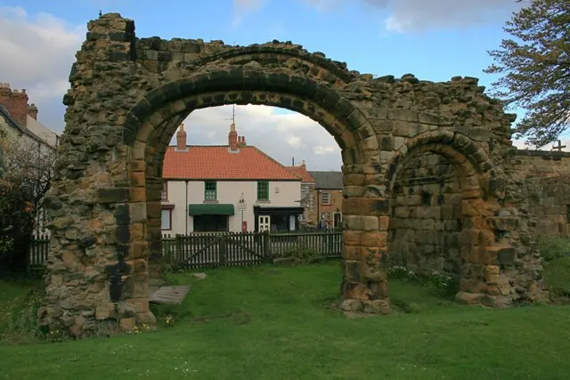
© Mick Garratt · Geograph · CC BY-SA 2.0
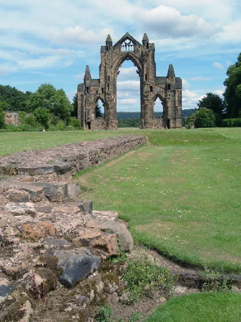
© Alison Stamp · Geograph · CC BY-SA 2.0
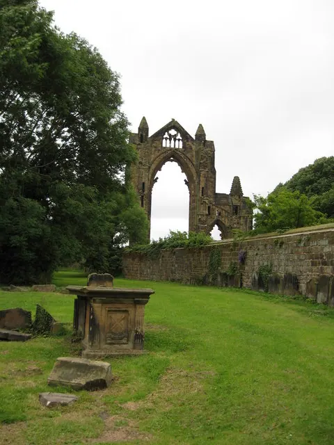
© Carol Walker · Geograph · CC BY-SA 2.0
Images © their respective photographers, licensed under CC BY-SA 2.0 and reused here with attribution. Photographs depict listed buildings, churches and monuments near this settlement and may show neighbouring villages.
Data derived from the Open Domesday project (opendomesday.org), based on the Domesday Book dataset compiled by Professor J.J.N. Palmer and team. The Domesday Book (1086) is in the public domain.
Found an inaccuracy? [email protected]