Tiverton in the Domesday Book (1086)
The 1086 Domesday survey records the settlement of Tiverton, entered under the hundred of Rushton in Cheshire.
Other Settlements in Rushton
- Alpraham
- Alretone
- Ashton
- Beeston
- Bunbury and [Lower] Bunbury
- Burton
- Clotton
- Cocle
- Iddinshall
- Opetone
- Oulton
- Over
- Peckforton
- Rushton
The Meaning of the Name
The name Tiverton is of Anglo-Saxon origin. Its final element derives from the Old English word tūn, a farmstead or village. The first element is most likely a personal name or an early descriptive term, now difficult to recover with certainty. Taken together the name probably meant something close to ‘a farmstead’.
Remarkably, the name has changed little since 1086, when the Domesday scribes wrote it as Tiverton.
Listed Buildings Near Tiverton
Historic England records 14 listed buildings within about a mile of Tiverton. Listing protects structures of special architectural or historic interest, graded I (exceptional), II* (particularly important) and II.
Grade II*
Grade II
- Rose Cottage - 0.4 km
- Yewtree Cottage - 0.42 km
- Ivy Cottage - 0.43 km
- Telephone Kiosk on Green to Front of Lilac Cottage - 0.43 km
- Tiverton War Memorial - 0.44 km
- Stocks Bank and Lilac Cottage - 0.45 km
- Oak Cottage and Bank Farm Cottage - 0.45 km
- The Old Post Office Cottage - 0.5 km
- Four Lane Ends Farmhouse - 0.81 km
- Beeston Stone Lock - 0.81 km
- Linkman’s Hut Adjacent Beeston Stone Lock - 0.83 km
- The Vicarage - 0.92 km
- Church of St Jude - 1.0 km
Scheduled Monuments Near Tiverton
Scheduled monuments are nationally important archaeological sites given legal protection. 1 lies within roughly a mile of Tiverton:
- Beeston cast iron lock - 0.6 km
Tiverton Today
Today Tiverton lies within the administrative area of Cheshire West and Chester, and the settlement recorded a population of 484 at the 2021 census. Nine and a half centuries separate that figure from the small rural community the Domesday survey recorded here in 1086.
Nearby Domesday Settlements
Other places recorded in the 1086 survey within a few miles:
- Tilstone Fearnall - 1.0 km E
- Tarporley - 2.0 km N
- Iddinshall - 2.8 km NW
- Beeston - 2.8 km SW
- Alpraham - 3.2 km E
- Bunbury and Lower Bunbury - 3.2 km S
Heritage Around Tiverton
Photographs of churches, listed buildings and monuments in the vicinity, contributed by volunteers to the Geograph project and reused here under a Creative Commons licence.
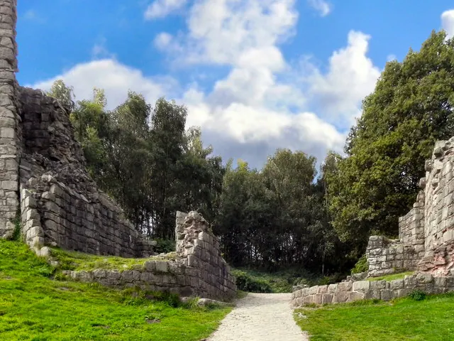
© David Dixon · Geograph · CC BY-SA 2.0
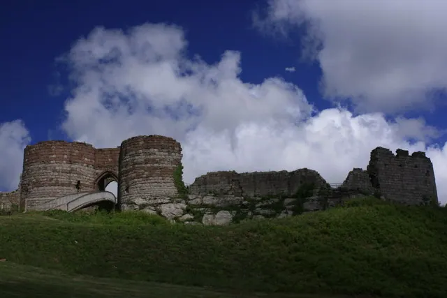
© Brian Tamplin · Geograph · CC BY-SA 2.0
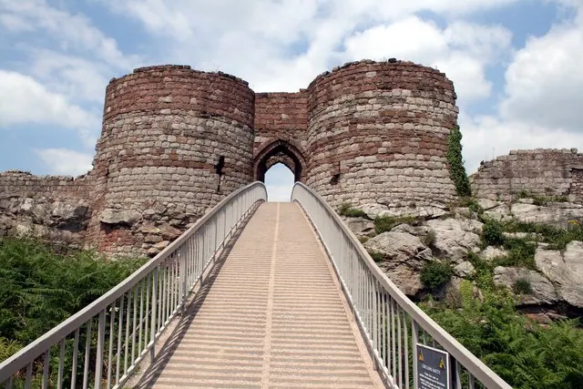
© Jeff Buck · Geograph · CC BY-SA 2.0
Images © their respective photographers, licensed under CC BY-SA 2.0 and reused here with attribution. Photographs depict listed buildings, churches and monuments near this settlement and may show neighbouring villages.
Data derived from the Open Domesday project (opendomesday.org), based on the Domesday Book dataset compiled by Professor J.J.N. Palmer and team. The Domesday Book (1086) is in the public domain.
Found an inaccuracy? [email protected]