Tidover in the Domesday Book (1086)
Tidover is named in the Domesday Book, compiled by Norman commissioners in 1086, entered under the hundred of Burghshire in Yorkshire.
Other Settlements in Burghshire
- Addlethorpe
- Aismunderby
- Aldfield
- Allerton [Mauleverer]
- Arkendale
- Askwith
- Azerley
- Barrowby [Grange]
- Beckwith [House]
- Besthaim
- Bestham
- Bewerley
- Bilton
- Birstwith
The Meaning of the Name
The origin of the name Tidover is not securely established from its modern form alone; like many settlement names in the North it likely combines an Old English or Old Norse personal name with a landscape term.
Remarkably, the name has changed little since 1086, when the Domesday scribes wrote it as Tidover.
Listed Buildings Near Tidover
Historic England records 8 listed buildings within about a mile of Tidover. Listing protects structures of special architectural or historic interest, graded I (exceptional), II* (particularly important) and II.
Grade II
- Field House Farmhouse and Attached Outbuilding to East - 0.68 km
- Low Hall - 0.85 km
- Gate-piers With Attached Walling Approximately 20 Metres South of Low Hall - 0.85 km
- Gate-piers Approximately 10 Metres East of Old Hall - 0.87 km
- Old Hall - 0.89 km
- Rectory Cottages - 1.07 km
- The Old Rectory - 1.1 km
- Church of All Saints - 1.16 km
Nearby Domesday Settlements
Other places recorded in the 1086 survey within a few miles:
- Kirkby Overblow - 1.0 km W
- Addlethorpe - 1.4 km SE
- Walton Head - 2.0 km W
- Barrowby Grange - 2.0 km S
- Sicklinghall - 3.2 km E
- Kearby Town End - 3.2 km S
Heritage Around Tidover
Photographs of churches, listed buildings and monuments in the vicinity, contributed by volunteers to the Geograph project and reused here under a Creative Commons licence.
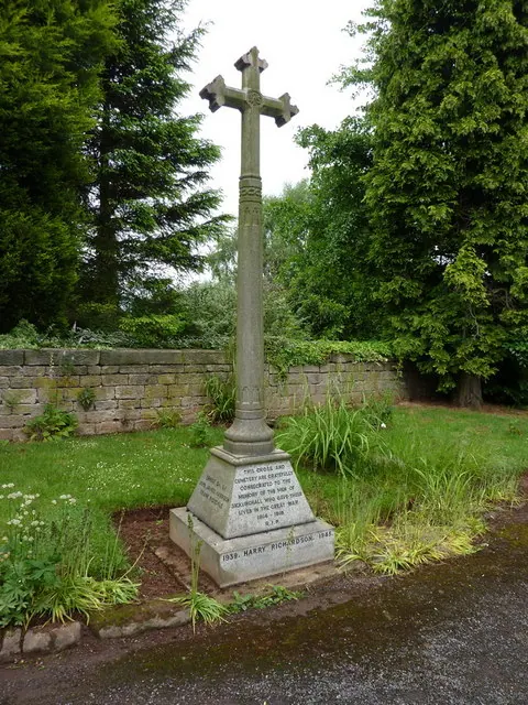
© Alexander P Kapp · Geograph · CC BY-SA 2.0
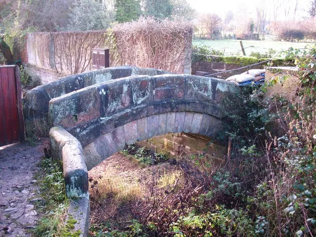
© Gordon Hatton · Geograph · CC BY-SA 2.0
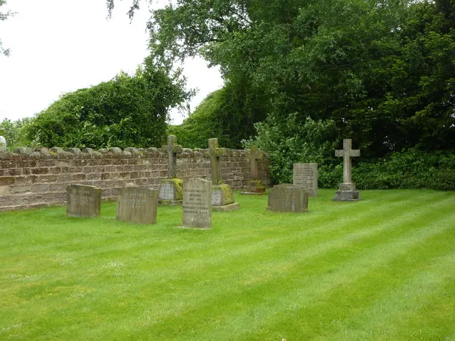
© Alexander P Kapp · Geograph · CC BY-SA 2.0
Images © their respective photographers, licensed under CC BY-SA 2.0 and reused here with attribution. Photographs depict listed buildings, churches and monuments near this settlement and may show neighbouring villages.
Data derived from the Open Domesday project (opendomesday.org), based on the Domesday Book dataset compiled by Professor J.J.N. Palmer and team. The Domesday Book (1086) is in the public domain.
Found an inaccuracy? [email protected]