Tideswell in the Domesday Book (1086)
Tideswell appears in the Domesday Book of 1086, entered under the hundred of Blackwell in Derbyshire.
Other Settlements in Blackwell
- Abney
- Ashford [-in-the-Water]
- Aston
- Bakewell
- Bamford
- Baslow
- Beeley
- Birchills
- Birchover
- Blackwell
- Bradwell
- Bubnell
- Burley
- Burton
The Meaning of the Name
The name Tideswell is of Anglo-Saxon origin. Its final element derives from the Old English word wella, a spring or stream. The first element is most likely a personal name or an early descriptive term, now difficult to recover with certainty. Taken together the name probably meant something close to ‘a spring’.
Remarkably, the name has changed little since 1086, when the Domesday scribes wrote it as Tideswell.
Listed Buildings Near Tideswell
Historic England records 37 listed buildings within about a mile of Tideswell. Listing protects structures of special architectural or historic interest, graded I (exceptional), II* (particularly important) and II.
Grade I
- Church of St John the Baptist - 0.46 km
Grade II
- 6, Commercial Road - 0.43 km
- Premises Occupied by the Medeira House Restaurant - 0.43 km
- The George Hotel and Outbuildings to East - 0.43 km
- The Shambles - 0.44 km
- The Old Bulls Head - 0.44 km
- Markeygate House - 0.44 km
- Church Cottage - 0.48 km
- Building Occupied by the County Library Service - 0.48 km
- Goldstraw Cottage - 0.48 km
- St Johns Institute - 0.49 km
- Top House - 0.49 km
- 1-6, The Old School Close - 0.5 km
- The Old Grammar School - 0.51 km
- Outbuilding to the South West of the Vicarage - 0.54 km
- The Vicarage - 0.54 km
- Hardy House - 0.56 km
- Eccles Hall, Boundary Wall and Gate Piers to South East - 0.56 km
- Blake House - 0.59 km
- Outbuilding to the North East of Foxlowe House - 0.6 km
- The Old College - 0.6 km
- Foxlowe House, Gate Piers and Boundary Walls - 0.61 km
- Former Oddfellows Hall - 0.63 km
- The Flat - 0.64 km
…and 13 more listed structures in the area.
Tideswell Today
Today Tideswell lies within the administrative area of Derbyshire Dales, and the settlement recorded a population of 1,712 at the 2021 census. Nine and a half centuries separate that figure from the small rural community the Domesday survey recorded here in 1086.
Read more about modern Tideswell on Wikipedia .
Nearby Domesday Settlements
Other places recorded in the 1086 survey within a few miles:
- Litton - 1.0 km E
- Wormhill - 3.2 km W
- Great and Little Hucklow - 3.2 km N
- Priestcliffe - 3.6 km SW
- Taddington - 4.1 km S
- Blackwell - 4.2 km SW
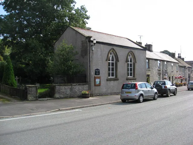
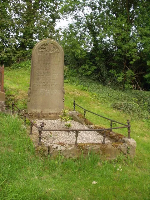
Heritage Around Tideswell
Photographs of churches, listed buildings and monuments in the vicinity, contributed by volunteers to the Geograph project and reused here under a Creative Commons licence.

© Mike Harris · Geograph · CC BY-SA 2.0
© Alan Heardman · Geograph · CC BY-SA 2.0
© BB · Geograph · CC BY-SA 2.0
Images © their respective photographers, licensed under CC BY-SA 2.0 and reused here with attribution. Photographs depict listed buildings, churches and monuments near this settlement and may show neighbouring villages.
Data derived from the Open Domesday project (opendomesday.org), based on the Domesday Book dataset compiled by Professor J.J.N. Palmer and team. The Domesday Book (1086) is in the public domain.
Found an inaccuracy? [email protected]