Ticknall in the Domesday Book (1086)
Ticknall is named in the Domesday Book, compiled by Norman commissioners in 1086, entered under the hundred of Walecros in Derbyshire.
Other Settlements in Walecros
- Appleby [Magna]
- Bolun
- Bretby
- Caldwell
- Catton
- Coton [-in-the-Elms]
- Drakelowe
- Foremark
- Hartshorne
- Hearthcote
- Ingleby
- Lullington
- Melbourne
- Milton
The Meaning of the Name
The origin of the name Ticknall is not securely established from its modern form alone; like many settlement names in the North it likely combines an Old English or Old Norse personal name with a landscape term.
Remarkably, the name has changed little since 1086, when the Domesday scribes wrote it as Ticknall.
Listed Buildings Near Ticknall
Historic England records 62 listed buildings within about a mile of Ticknall. Listing protects structures of special architectural or historic interest, graded I (exceptional), II* (particularly important) and II.
Grade II*
- The Middle Lodge - 0.32 km
Grade II
- Entrance Lodge and Gateway to Calke Abbey - 0.49 km
- Pillar Fountain 30 Metres East of Hayes Farmhouse - 0.5 km
- Brierfield House - 0.51 km
- Hayes Farmhouse and Attached Iron Railings - 0.52 km
- Arch Farmhouse - 0.53 km
- The Old Post Office - 0.54 km
- Baptist Chapel - 0.54 km
- The Wheel Public House - 0.54 km
- Pillar Fountain Opposite Arch Farmhouse - 0.54 km
- Pillar Fountain Opposite Nos 55 and 57 - 0.55 km
- Pillar Fountain to the Front of no 38 - 0.55 km
- Arch View Cottage - 0.55 km
- Ticknall Arch - 0.55 km
- Pillar Fountain 10 Metres West of no 76 - 0.56 km
- 55 and 57, Main Street - 0.57 km
- Pillar Fountain to the Front of no 33 - 0.57 km
- 85 and 87, Main Street (Highwayside) - 0.57 km
- Archway House - 0.58 km
- Pillar Fountain Opposite no 145 Main Street - 0.58 km
- Stone Fronts - 0.6 km
- Stone Fronts - 0.6 km
- Pillar Fountain to the Front of no 53 - 0.61 km
- 41-45, High Street - 0.61 km
…and 38 more listed structures in the area.
Scheduled Monuments Near Ticknall
Scheduled monuments are nationally important archaeological sites given legal protection. 2 lie within roughly a mile of Ticknall:
- Calke Park Tunnel - 0.25 km
- Medieval church and cross 45m south of St George’s Church - 0.73 km
Ticknall Today
Today Ticknall lies within the administrative area of South Derbyshire, and the settlement recorded a population of 590 at the 2021 census. Nine and a half centuries separate that figure from the small rural community the Domesday survey recorded here in 1086.
Read more about modern Ticknall on Wikipedia .
Nearby Domesday Settlements
Other places recorded in the 1086 survey within a few miles:
Heritage Around Ticknall
Photographs of churches, listed buildings and monuments in the vicinity, contributed by volunteers to the Geograph project and reused here under a Creative Commons licence.
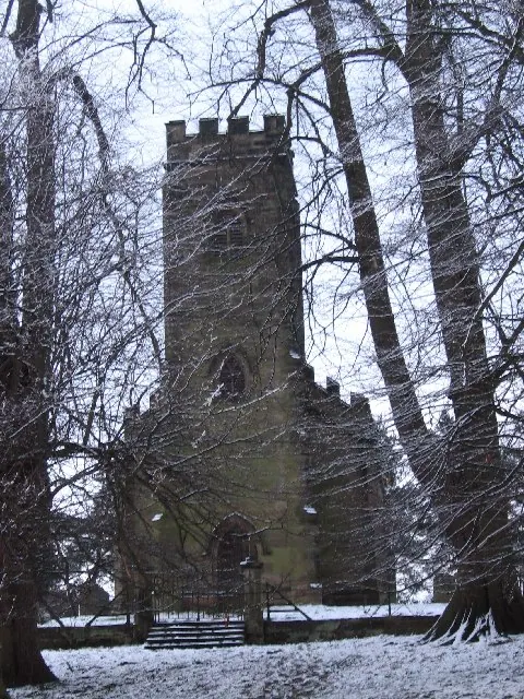
© Tammy Winand · Geograph · CC BY-SA 2.0
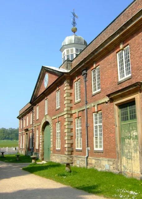
© Simon Huguet · Geograph · CC BY-SA 2.0
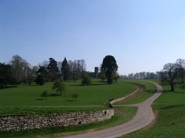
© E Gammie · Geograph · CC BY-SA 2.0
Images © their respective photographers, licensed under CC BY-SA 2.0 and reused here with attribution. Photographs depict listed buildings, churches and monuments near this settlement and may show neighbouring villages.
Data derived from the Open Domesday project (opendomesday.org), based on the Domesday Book dataset compiled by Professor J.J.N. Palmer and team. The Domesday Book (1086) is in the public domain.
Found an inaccuracy? [email protected]