Thurvaston in the Domesday Book (1086)
Thurvaston is named in the Domesday Book, compiled by Norman commissioners in 1086, entered under the hundred of Appletree in Derbyshire.
Other Settlements in Appletree
- Alkmonton
- Ashe
- Aston
- Barton [Blount]
- Bentley
- Boylestone
- Bradley
- Brailsford
- Bupton
- Clifton
- Doveridge
- Eaton [Dovedale]
- Edlaston
- Ednaston
The Meaning of the Name
The name Thurvaston is of Anglo-Saxon origin. Its final element derives from the Old English word tūn, a farmstead or village. The first element is most likely a personal name or an early descriptive term, now difficult to recover with certainty. Taken together the name probably meant something close to ‘a farmstead’.
Remarkably, the name has changed little since 1086, when the Domesday scribes wrote it as Thurvaston.
Listed Buildings Near Thurvaston
Historic England records 4 listed buildings within about a mile of Thurvaston. Listing protects structures of special architectural or historic interest, graded I (exceptional), II* (particularly important) and II.
Grade II
- Osleston Hall - 0.37 km
- Well House to east of Butt House - 0.42 km
- Osleston Hall Cottage and attached outbuilding - 0.48 km
- Christ Church - 0.83 km
Scheduled Monuments Near Thurvaston
Scheduled monuments are nationally important archaeological sites given legal protection. 3 lie within roughly a mile of Thurvaston:
- Shrunken medieval village and moated site at Thurvaston - 0.41 km
- Sharrow Hall moated site and associated road, driveway, dovecote, enclosures and ridge and furrow - 1.1 km
- Lower Thurvaston medieval settlement, including part of the open field system - 1.53 km
Thurvaston Today
Today Thurvaston lies within the administrative area of Osleston and Thurvaston.
Read more about modern Thurvaston on Wikipedia .
Nearby Domesday Settlements
Other places recorded in the 1086 survey within a few miles:
- Osleston - 0.0 km N
- Bupton - 2.0 km W
- Trusley? - 2.2 km SE
- Hollington - 2.8 km NW
- Sutton -on-the-Hill - 3.0 km S
- Dalbury - 3.6 km SE
Heritage Around Thurvaston
Photographs of churches, listed buildings and monuments in the vicinity, contributed by volunteers to the Geograph project and reused here under a Creative Commons licence.
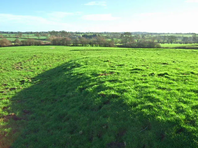
© John Poyser · Geograph · CC BY-SA 2.0
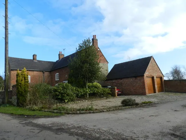
© Peter Barr · Geograph · CC BY-SA 2.0
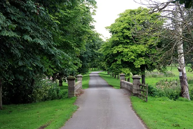
© Graham Hogg · Geograph · CC BY-SA 2.0
Images © their respective photographers, licensed under CC BY-SA 2.0 and reused here with attribution. Photographs depict listed buildings, churches and monuments near this settlement and may show neighbouring villages.
Data derived from the Open Domesday project (opendomesday.org), based on the Domesday Book dataset compiled by Professor J.J.N. Palmer and team. The Domesday Book (1086) is in the public domain.
Found an inaccuracy? [email protected]