Thurstonland in the Domesday Book (1086)
Thurstonland is named in the Domesday Book, compiled by Norman commissioners in 1086, entered under the hundred of Agbrigg in Yorkshire.
Other Settlements in Agbrigg
- Ackton
- Almondbury
- Austonley
- Bradley
- Cartworth
- Crigglestone
- Crofton
- Dalton
- Emley
- Farnley [Tyas]
- Flockton
- Fulstone
- Golcar
- Hepworth
The Meaning of the Name
The origin of the name Thurstonland is not securely established from its modern form alone; like many settlement names in the North it likely combines an Old English or Old Norse personal name with a landscape term.
Remarkably, the name has changed little since 1086, when the Domesday scribes wrote it as Thurstonland.
Listed Buildings Near Thurstonland
Historic England records 42 listed buildings within about a mile of Thurstonland. Listing protects structures of special architectural or historic interest, graded I (exceptional), II* (particularly important) and II.
Grade II
- 50 and 52, the Village - 0.03 km
- 56 and 58, the Village - 0.04 km
- 54, the Village - 0.04 km
- 60, the Village - 0.05 km
- 72, the Village - 0.08 km
- 2 Low Fold, Low Fold Farm and 10 The Post Office - 0.08 km
- Barn 10 Yards to East of Number 9 Upper Fold Farmhouse - 0.09 km
- Upper Fold Farmhouse - 0.11 km
- Cottage Adjoining and to Rear Number 9 Upper Fold Farmhouse - 0.11 km
- Small Former Barn Now Adjoining Number 5 Upper Fold Farmhouse - 0.13 km
- Principal Barn 50 Yards to South West of Upper Fold Farmhouse - 0.13 km
- 6 and 8, the Village - 0.13 km
- 4, the Village - 0.14 km
- Thurstonland Methodist Chapel - 0.2 km
- 84, 88, 90 & 92, Town Moor - 0.22 km
- Thurstonland Methodist Sunday School to West of Chapel - 0.22 km
- Ash Cottage - 0.23 km
- 1, 2, 3 and 4, Hollow Gate - 0.24 km
- Church of St Thomas - 0.29 km
- School House at Endowed Primary School - 0.29 km
- 4, Top of the Hill - 0.36 km
- 2, Top of The Hill - 0.37 km
- Briars Cottage, Top of the Hill - 0.38 km
- Butts Farmhouse - 0.68 km
…and 18 more listed structures in the area.
Thurstonland Today
Today Thurstonland lies within the administrative area of Kirkburton.
Read more about modern Thurstonland on Wikipedia .
Nearby Domesday Settlements
Other places recorded in the 1086 survey within a few miles:
- Fulstone - 1.4 km SE
- Farnley Tyas - 2.0 km N
- Wooldale - 2.2 km SW
- Shepley - 3.2 km E
- Kirkburton - 3.6 km NE
- Honley - 3.6 km NW
Heritage Around Thurstonland
Photographs of churches, listed buildings and monuments in the vicinity, contributed by volunteers to the Geograph project and reused here under a Creative Commons licence.
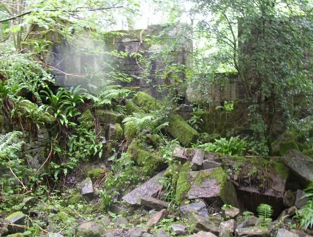
© Humphrey Bolton · Geograph · CC BY-SA 2.0
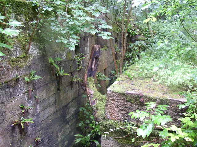
© Humphrey Bolton · Geograph · CC BY-SA 2.0
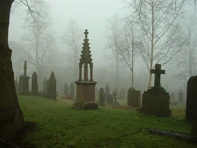
© steve taylor · Geograph · CC BY-SA 2.0
Images © their respective photographers, licensed under CC BY-SA 2.0 and reused here with attribution. Photographs depict listed buildings, churches and monuments near this settlement and may show neighbouring villages.
Data derived from the Open Domesday project (opendomesday.org), based on the Domesday Book dataset compiled by Professor J.J.N. Palmer and team. The Domesday Book (1086) is in the public domain.
Found an inaccuracy? [email protected]