Thurnscoe in the Domesday Book (1086)
Thurnscoe appears in the Domesday Book of 1086, entered under the hundred of Strafforth in Yorkshire. The survey assessed Thurnscoe at 0.8 carucates of taxable land.
At the time of the survey, Thurnscoe supported a recorded population of 6 smallholders, working 2 ploughs between them.
The survey puts Thurnscoe’s value at 2 shillings, the same as before the Conquest. Unchanged valuations are relatively rare in the North, where disruption was widespread.
Resources Recorded at Thurnscoe (1086)
- Meadow: 6 acres
Other Settlements in Strafforth
- Adwick [le Street]
- Adwick [upon Dearne]
- Armthorpe
- Aston
- Attercliffe
- Auckley
- Aughton [Hall]
- Austerfield
- Balby
- Barnbrough
- Barnby [Dun]
- Bentley
- Bilham [House]
- Billingley
The Meaning of the Name
The origin of the name Thurnscoe is not securely established from its modern form alone; like many settlement names in the North it likely combines an Old English or Old Norse personal name with a landscape term.
Remarkably, the name has changed little since 1086, when the Domesday scribes wrote it as Thurnscoe.
Listed Buildings Near Thurnscoe
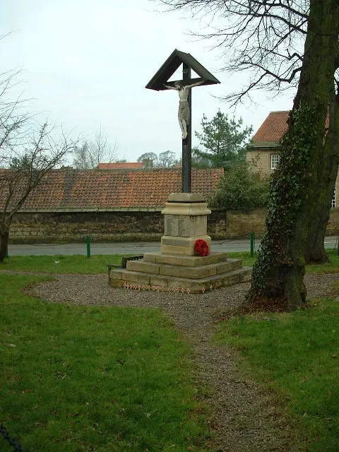
Historic England records 7 listed buildings within about a mile of Thurnscoe. Listing protects structures of special architectural or historic interest, graded I (exceptional), II* (particularly important) and II.
Grade II
- Hall Farmhouse - 0.11 km
- Thurnscoe War Memorial - 0.18 km
- Stable Block and Dovecote Approximately 20 Metres to North of Thurnscoe Hall - 0.23 km
- Thurnscoe Hall - 0.26 km
- Low Grange - 0.59 km
- Church of St Helen - 0.61 km
- Church of St John and St Mary Magdalene - 1.18 km
Thurnscoe Today
Today Thurnscoe lies within the administrative area of Barnsley, and the settlement recorded a population of 8,687 at recent figures. Nine and a half centuries separate that figure from the small rural community the Domesday survey recorded here in 1086.
Read more about modern Thurnscoe on Wikipedia .
Nearby Domesday Settlements
Other places recorded in the 1086 survey within a few miles:
- Deightonby Fields - 1.4 km NE
- Goldthorpe - 1.4 km SE
- Clayton - 2.0 km N
- Stotfold - 2.2 km NE
- Billingley - 2.2 km SW
- Great Houghton - 2.2 km NW
Heritage Around Thurnscoe
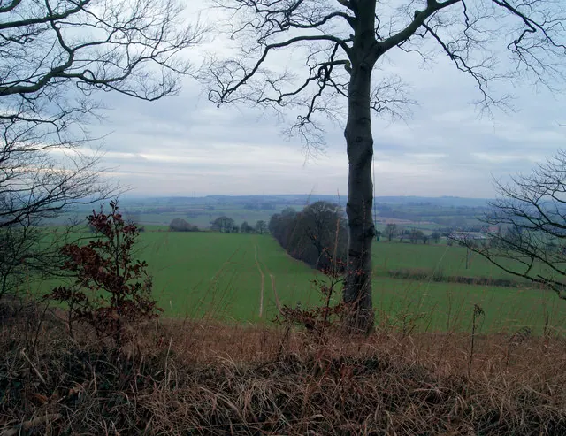
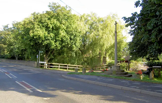
Photographs of churches, listed buildings and monuments in the vicinity, contributed by volunteers to the Geograph project and reused here under a Creative Commons licence.
© Steve Fareham · Geograph · CC BY-SA 2.0
© Steve Fareham · Geograph · CC BY-SA 2.0
© Nigel Homer · Geograph · CC BY-SA 2.0
Images © their respective photographers, licensed under CC BY-SA 2.0 and reused here with attribution. Photographs depict listed buildings, churches and monuments near this settlement and may show neighbouring villages.
Data derived from the Open Domesday project (opendomesday.org), based on the Domesday Book dataset compiled by Professor J.J.N. Palmer and team. The Domesday Book (1086) is in the public domain.
Found an inaccuracy? [email protected]