Thurlstone in the Domesday Book (1086)
Thurlstone is named in the Domesday Book, compiled by Norman commissioners in 1086, entered under the hundred of Staincross in Yorkshire.
Other Settlements in Staincross
- Adlingfleet
- Barnby [Hall]
- Barnsley
- Barugh
- Brierley
- Carlton
- Cawthorne
- Chevet
- Clactone
- Clayton [West]
- Darton
- Dodworth
- Hemsworth
- Hoyland [Swaine]
The Meaning of the Name
The origin of the name Thurlstone is not securely established from its modern form alone; like many settlement names in the North it likely combines an Old English or Old Norse personal name with a landscape term.
Remarkably, the name has changed little since 1086, when the Domesday scribes wrote it as Thurlstone.
Listed Buildings Near Thurlstone
Historic England records 41 listed buildings within about a mile of Thurlstone. Listing protects structures of special architectural or historic interest, graded I (exceptional), II* (particularly important) and II.
Grade II
- 4, Rock Side - 0.04 km
- 1-9, Tenter Hill - 0.13 km
- Barn at Redminster Cottage - 0.23 km
- Redminster House - 0.23 km
- Milestone Opposite Junction With Towngate - 0.24 km
- 44, 46 and 48 Manchester Road including 2 Watering Place Road - 0.29 km
- 15, 17 and 19, Towngate - 0.31 km
- 26 and 28, Towngate - 0.38 km
- 9, Ingbirchworth Road - 0.42 km
- 8 and 10, Thurlstone Road - 0.74 km
- Penistone Bridge Over River Don - 0.78 km
- Milestone Built Into Wall and Adjacent to Netherfield Congregational Chapel at Se 242039 - 0.79 km
- Weaver’s House at Leapings - 0.82 km
- Cross Royd Head Farmhouse and Attached Barn - 0.82 km
- Coal drops immediately west of bridge under Penistone Woodhead Railway - 0.84 km
- Church of St Saviour - 0.86 km
- Vicarage to Church of St Saviour - 0.91 km
- Milestone Approximately 100 Metres North of Penistone Grammar School - 0.95 km
- 8, Market Street - 0.98 km
- 5 and 7, Market Street - 1.0 km
- 1 and 3, Market Street - 1.0 km
- Nether Mill House - 1.01 km
- Midland Bank and Bank Chambers - 1.01 km
- Nether Mill Cottage Nether Mill Farmhouse - 1.03 km
…and 17 more listed structures in the area.
Scheduled Monuments Near Thurlstone
Scheduled monuments are nationally important archaeological sites given legal protection. 1 lies within roughly a mile of Thurlstone:
- Wayside cross south of Hartcliff Road - 1.43 km
Thurlstone Today
Today Thurlstone lies within the administrative area of Penistone.
Read more about modern Thurlstone on Wikipedia .
Nearby Domesday Settlements
Other places recorded in the 1086 survey within a few miles:
- Penistone - 1.0 km E
- Ingbirchworth - 2.2 km NW
- Hoyland Swaine - 3.2 km E
- Roughbirchworth - 3.6 km SE
- Clactone - 4.1 km E
- Oxspring - 4.1 km E
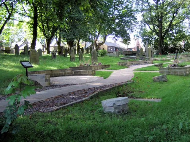
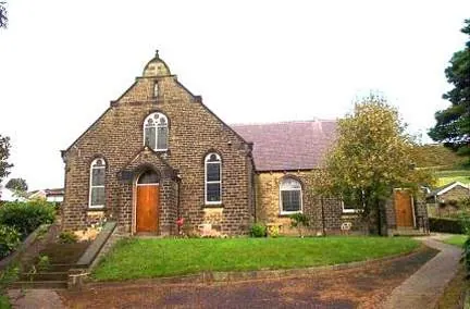
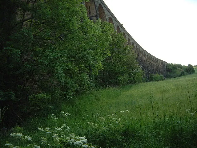
Heritage Around Thurlstone
Photographs of churches, listed buildings and monuments in the vicinity, contributed by volunteers to the Geograph project and reused here under a Creative Commons licence.
© David Ward · Geograph · CC BY-SA 2.0
© Bill Henderson · Geograph · CC BY-SA 2.0
© Robin Phillips · Geograph · CC BY-SA 2.0
Images © their respective photographers, licensed under CC BY-SA 2.0 and reused here with attribution. Photographs depict listed buildings, churches and monuments near this settlement and may show neighbouring villages.
Data derived from the Open Domesday project (opendomesday.org), based on the Domesday Book dataset compiled by Professor J.J.N. Palmer and team. The Domesday Book (1086) is in the public domain.
Found an inaccuracy? [email protected]